:quality(70)/cloudfront-us-east-1.images.arcpublishing.com/cmg/WW5AJL3ARQUGDQMAQUNSFX4CLE.jpg)
Jacksonville, Fl. — The “Buresh Bottom Line”: Always be prepared!.....First Alert Hurricane Survival Guide... City of Jacksonville Preparedness Guide... Georgia Hurricane Guide.
STAY INFORMED: Get the * FREE * First Alert Weather app
FREE NEWS UPDATES, ALERTS: Action News Jax app for Apple | For Android
WATCH “Talking & Tracking the Tropics: The Science Behind the Season”
WATCH “Preparing for the Storm”
READ the First Alert Hurricane Center “Survival Guide”
Dolly’s lifespan was little more than 24 hours with the final NHC advisory issued about midday Wed.
Otherwise... Thunderstorm activity persists over the Western Gulf of Mexico in association with an upper level trough but no surface (low pressure) development is expected.... at least in the short term.
And a couple of tropical waves have emerged off the coast of Africa over the Central & Eastern Atlantic just south of the main plume of dust. No immediate development but something to keep an eye on next week & beyond once into or near the Caribbean/Gulf of Mexico.
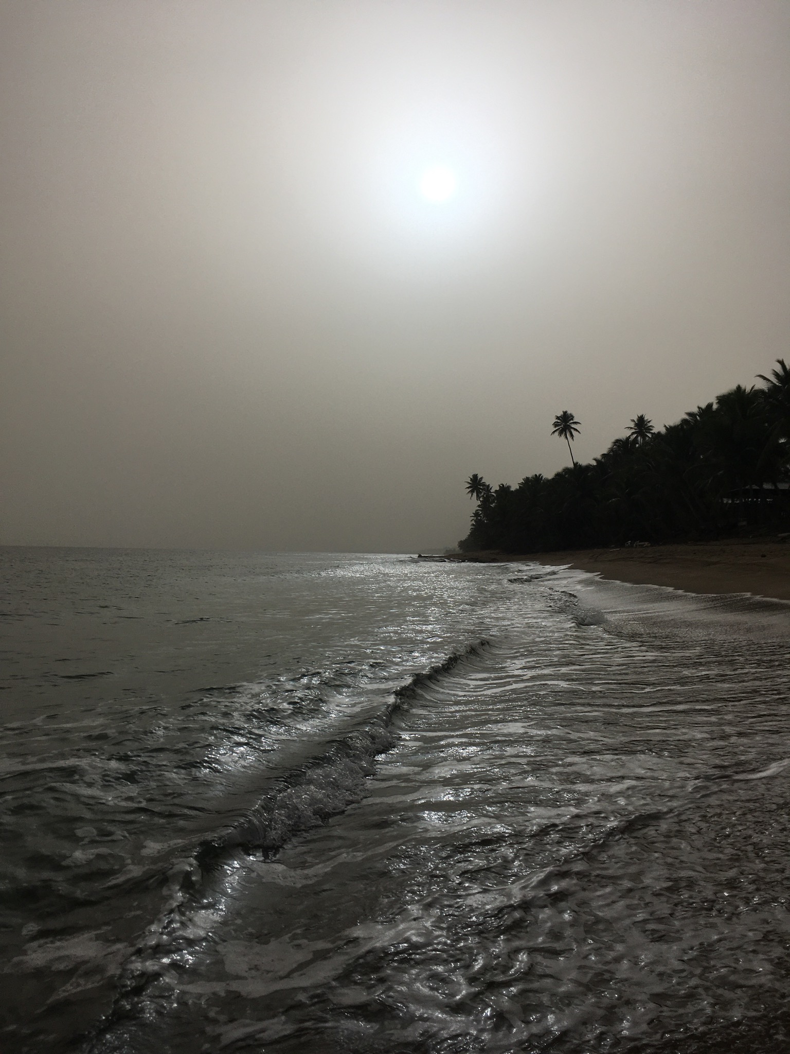
Meanwhile... the massive cloud of Saharan dust (5th image below) has spread over the Caribbean & is taking the turn north/northwest over the Gulf of Mexico as the plume narrows (mixes out some). Some of the dust will spread east now as it encounters a sagging jet stream over the U.S. so some haze for Jacksonville & surrounding areas through the weekend. A second surge of dust is over much of the Eastern Atlantic & will also travel west in the coming days. The recent dust “activity” is large - perhaps the most extensive in years -but dust clouds as a whole are quite typical for June & July & is indicative of generally dry mid & upper level air which can often times inhibit tropical development. However, I’ve seen tropical systems thrive just outside the dust cloud ... or once away from the dusty atmosphere (see 2004)... so it’s not a “shoe in” that there will be no tropical development just because a lot of dust exists (see Dolly this week & Dorian last year). Other factors have to be considered such as the overall shear values across the Atlantic Basin, general vertical motion values & sea surface temps. which are nowhere near their seasonal peak yet.


:quality(70)/cloudfront-us-east-1.images.arcpublishing.com/cmg/N7YMXJTJYJEFBCXSUI6KPLO7OM.png)
:quality(70)/d1hfln2sfez66z.cloudfront.net/04-18-2024/t_b399b953598a462d8ba0c4539e279e62_name_file_960x540_1200_v3_1_.jpg)
:quality(70)/cloudfront-us-east-1.images.arcpublishing.com/cmg/SKFDOR2IYNE4NDKFR6PGKELN3E.png)
:quality(70)/cloudfront-us-east-1.images.arcpublishing.com/cmg/QHT46DYGFFBQEHWRTYQW7PQQU4.jpg)
:quality(70)/cloudfront-us-east-1.images.arcpublishing.com/cmg/NZVJZJJPQBELXKUEJMMFTMQUNY.jpg)