Jacksonville, Fl. — The “Buresh Bottom Line”: Always be prepared!.....First Alert Hurricane Survival Guide... City of Jacksonville Preparedness Guide... Georgia Hurricane Guide.
STAY INFORMED: Get the * FREE * First Alert Weather app
FREE NEWS UPDATES, ALERTS: Action News Jax app for Apple | For Android
WATCH “Talking & Tracking the Tropics: The Science Behind the Season”
WATCH “Preparing for the Storm”
READ the First Alert Hurricane Center “Survival Guide”
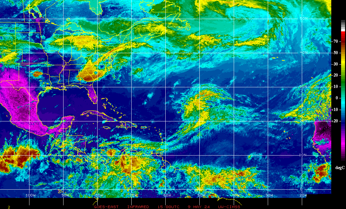
A cut-off upper (500mb/30,000 feet) low continues to spin over the Eastern U.S. with a weak surface low that has moved onshore of N. Carolina. No tropical threat since the low has moved inland. Heavy rain will pinwheel onshore of N. Carolina & Virginia through Wed. night.
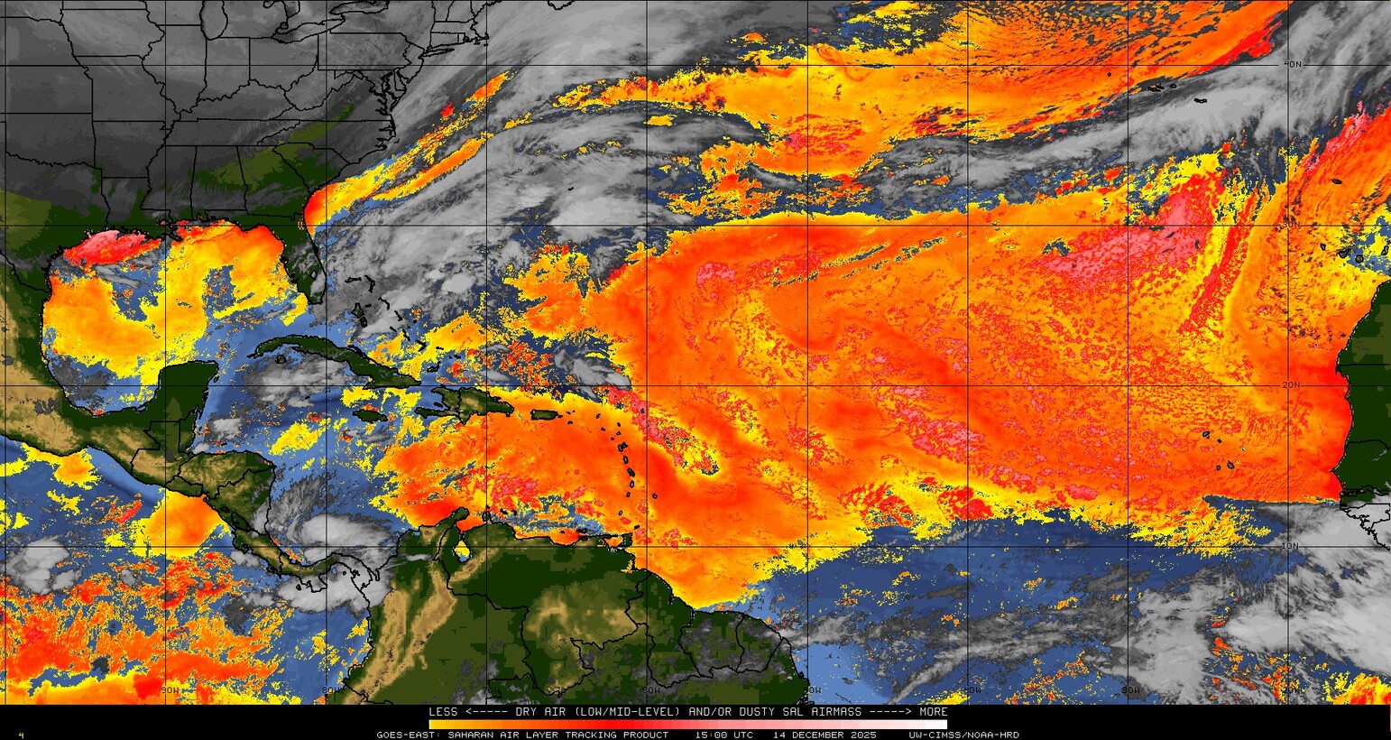
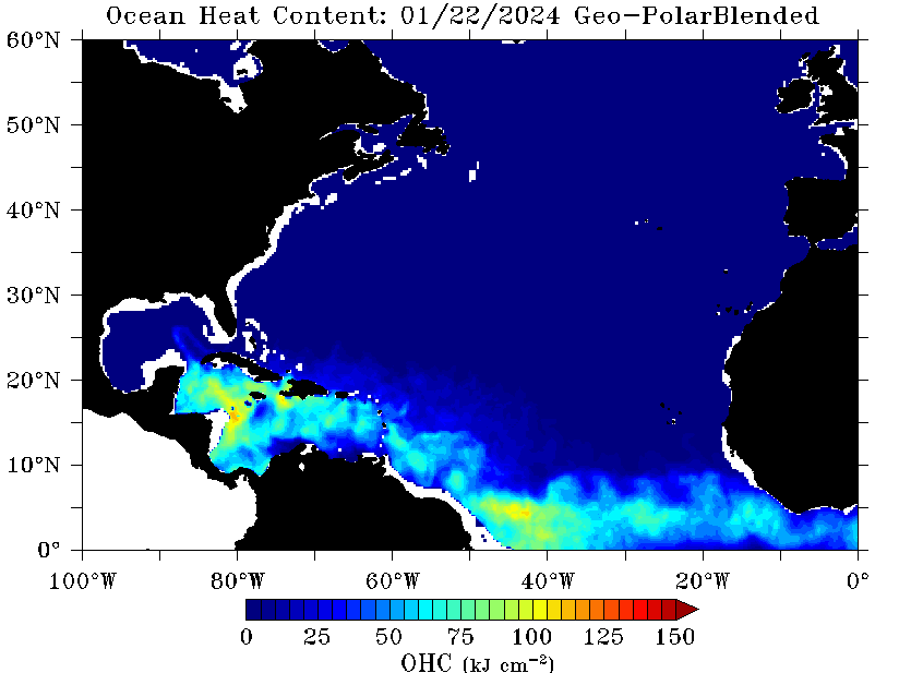
Meanwhile... a good deal of Saharan dust (6th image below) is over the Central & Eastern Atlantic. Such large dust clouds are quite typical for June & July & is indicative of generally dry mid & upper level air which usually inhibits tropical development. However, I’ve seen tropical systems thrive just outside the dust cloud ... or once away from the dusty atmosphere... so it’s not a “shoe in” that there will be no tropical development just because a lot of dust exists. Other factors have to be considered such as the overall shear values across the Atlantic Basin, general vertical motion values & sea surface temps.
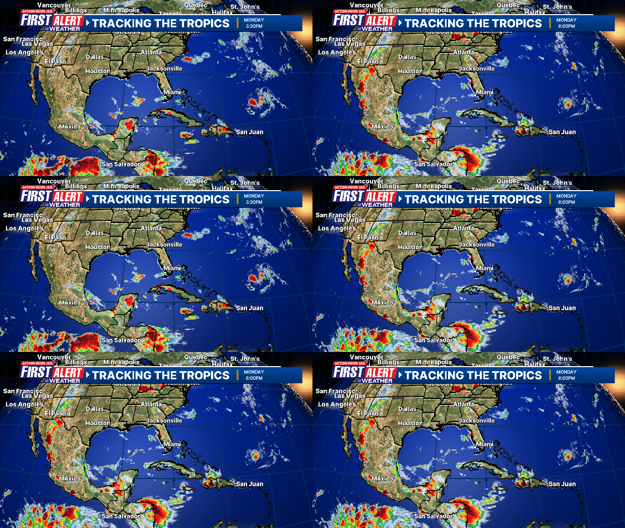
In general at this time ... the Basin looks to remain quiet into next week.


:quality(70)/cloudfront-us-east-1.images.arcpublishing.com/cmg/WW5AJL3ARQUGDQMAQUNSFX4CLE.jpg)







:quality(70)/cloudfront-us-east-1.images.arcpublishing.com/cmg/4YJSDF6HCZB4XNDARMEQ2TBOX4.jpg)
:quality(70)/cloudfront-us-east-1.images.arcpublishing.com/cmg/2ONNMC3BENET7KURYKMMLU3UP4.jpg)
:quality(70)/cloudfront-us-east-1.images.arcpublishing.com/cmg/KH37NGBQ6ZCG3K7JGKOS22ZA7E.png)
:quality(70)/cloudfront-us-east-1.images.arcpublishing.com/cmg/UPSNZVHYKZE2VDSCN54C3FTF5E.png)
:quality(70)/d1hfln2sfez66z.cloudfront.net/04-24-2024/t_d73855398dca4bf5a6e1eca4fedb0fdd_name_file_960x540_1200_v3_1_.jpg)