Jacksonville, Fl. — The “Buresh Bottom Line”: Always be prepared!.....First Alert Hurricane Survival Guide... City of Jacksonville Preparedness Guide... Georgia Hurricane Guide.
STAY INFORMED: Get the * FREE * First Alert Weather app
FREE NEWS UPDATES, ALERTS: Action News Jax app for Apple | For Android
WATCH “Talking & Tracking the Tropics: The Science Behind the Season”
WATCH “Preparing for the Storm”
READ the First Alert Hurricane Center “Survival Guide”
***** ALWAYS CHECK & RE-CHECK THE LATEST FORECAST & UPDATES! *****
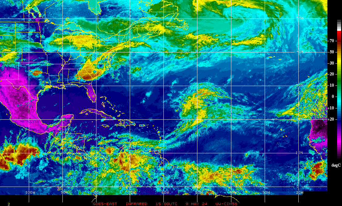
*** There will be no impacts from tropical systems for the U.S. through this week ***
Iota: Tropical wave 98-L - over the Caribbean - was upgraded to tropical depression #31 Fri. morning & to tropical storm “Iota” Fri. afternoon then to a hurricane early Sunday - the 30th named storm of the ’20 Atlantic hurricane season & the 13th hurricane, 2nd to only - wait for it - 2005 which totaled 15 hurricanes... then reached Cat. 5 intensity - the latest Cat. 5 on record over the Atlantic Basin + the 5th year in a row with at least one Cat. 5 over the Atlantic Basin - Mon. morning before a high end Cat. 4 landfall about 10:45pm EST Mon. on the northeast coast of Nicaragua close to where Eta came ashore two weeks prior. Iota is weakening over the mountainous terrain & will become a remnant low before reaching the Pacific.
Iota was a classic late season hurricane over a very warm Caribbean: very slow organization of a “glob” of convection that once it got its act together - developed a core & good banding features with strong outflow over the top - rapidly intensified.


Another disturbance has the potential to develop over the Southern Caribbean through the week while moving west/southwest over the far Southwest Caribbean. This system should stay farther south than its predecessors - Eta & Iota - as well as weaker.... it would appear. But also means more heavy rain for parts of Central America. There will be no impact on the U.S.
Yet another area to watch for possible tropical development will be the SW Atlantic east of the Bahamas near & along a stalled front/trough of low pressure. Low pressure will slowly develop & could be tropical or subtropical. This potential system should ultimately be steered east or northeast away from the U.S.
Atlantic Basin wave forecast for 24, 48 & 72 hours respectively:


:quality(70)/cloudfront-us-east-1.images.arcpublishing.com/cmg/WW5AJL3ARQUGDQMAQUNSFX4CLE.jpg)


:quality(70)/d1hfln2sfez66z.cloudfront.net/04-17-2024/t_6061b3560fca4ac9aa6b873a534bfe28_name_file_960x540_1200_v3_1_.jpg)
:quality(70)/d1hfln2sfez66z.cloudfront.net/04-18-2024/t_a469d507a8ea40cbbe96c13d032a8df4_name_file_960x540_1200_v3_1_.jpg)
:quality(70)/d1hfln2sfez66z.cloudfront.net/04-17-2024/t_104c2223b686403e866031a4dda3ad08_name_file_960x540_1200_v3_1_.jpg)
:quality(70)/cloudfront-us-east-1.images.arcpublishing.com/cmg/NQCTWRA7OVFP5ABEQBTBAG2E3A.jpg)
:quality(70)/d1hfln2sfez66z.cloudfront.net/01-16-2023/t_1f852e6223cd4a1495e39af4b9acb7f1_name_file_960x540_1200_v3_1_.jpg)