:quality(70)/cloudfront-us-east-1.images.arcpublishing.com/cmg/WW5AJL3ARQUGDQMAQUNSFX4CLE.jpg)
Jacksonville, Fl. — The “Buresh Bottom Line”: Always be prepared!.....First Alert Hurricane Survival Guide... City of Jacksonville Preparedness Guide... Georgia Hurricane Guide.
STAY INFORMED: Get the * FREE * First Alert Weather app
FREE NEWS UPDATES, ALERTS: Action News Jax app for Apple | For Android
WATCH “The Ins & Outs of Hurricane Season”
WATCH “Preparing for the Storm”
READ the First Alert Hurricane Center “Survival Guide”
***** ALWAYS CHECK & RE-CHECK THE LATEST FORECAST & UPDATES! *****
Low pressure east off the N. Carolina coast has taken on enough tropical characteristics while crossing the Gulf Stream to be upgraded to tropical depression #2. It’s possible that the depression could become tropical storm “Bill” for a short time before moving over cooler water Tue.-Wed. over the open NW Atlantic where the system would then transition to a post-tropical low while becoming absorbed by an upper level trough of low pressure. There will be no impact to Jacksonville/NE Fl./SE Ga. or any of the U.S. eastern seaboard.


Disturbed weather - lots of of disorganized convection - continues over the Southwest Gulf & near & over Central America.
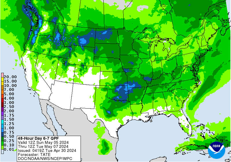
Weak low pressure has developed & will continue to do so over &/or near the Bay of Campeche. Proximity to land should limit much development through about Tue. Then the low should move far enough away from land over the Western Gulf to develop some. This evolution will likely be gradual but should - at the very least - bring more heavy rain to soaked areas of the Gulf Coast from Texas & Louisiana to Mississippi & Alabama later in the week. Early indications are that this system stays well west of Florida with weak low pressure moving ashore Fri. night-Saturday over or near Louisiana/Mississippi/Alabaa. Rainfall forecast maps are already showing a “blob” of heavy rain along the Gulf coast:
And a large/active tropical wave has emerged off the coast of Africa. Some development is possible in the short term but shear & dry air to the west should limit long term development. Still... a wave this active this deep into the tropics this early in the season might be a “warning shot” for later in the season.


Saharan dust. Dry air - yellow/orange/red/pink - is extensive over especially the Central Atlantic. Such widespread dust is common early in the hurricane season:

2021 names..... “Bill” is the next name on the Atlantic list (names are picked at random by the World Meteorological Organization... repeat every 6 years... historic storms are retired (Florence & Michael in ’18... Dorian in ’19 & Laura, Eta & Iota in ‘20). Last year - 2020 - had a record 30 named storms. The WMO decided beginning in 2021 that the Greek alphabet will be no longer used & instead there will be a supplemental list of names if the first list is exhausted (has only happened twice - 2005 & 2020). More on the history of naming tropical cyclones * here *.

There have been several vigorous tropical waves that have moved west off Africa during the last week. No significant development is expected for now, but this might be an indication of active season emanating from the deep tropics.

East Atlantic:


Mid & upper level wind shear (enemy of tropical cyclones) analysis (CIMMS). The red lines indicate strong shear which is widespread from the Gulf of Mexico & Caribbean eastward across much of the Atlantic:

Water vapor imagery (dark blue indicates dry air):

Deep oceanic heat content is lacking but typical for so early in the season:

Sea surface temp. anomalies:


SE U.S. surface map:

Surface analysis centered on the tropical Atlantic:

Surface analysis of the Gulf:

Caribbean:

Atlantic Basin wave forecast for 24, 48 & 72 hours respectively:


Global tropical activity:


Cox Media Group
:quality(70)/cloudfront-us-east-1.images.arcpublishing.com/cmg/N7YMXJTJYJEFBCXSUI6KPLO7OM.png)
:quality(70)/d1hfln2sfez66z.cloudfront.net/04-18-2024/t_b399b953598a462d8ba0c4539e279e62_name_file_960x540_1200_v3_1_.jpg)
:quality(70)/cloudfront-us-east-1.images.arcpublishing.com/cmg/SKFDOR2IYNE4NDKFR6PGKELN3E.png)
:quality(70)/d1hfln2sfez66z.cloudfront.net/04-17-2024/t_6061b3560fca4ac9aa6b873a534bfe28_name_file_960x540_1200_v3_1_.jpg)
:quality(70)/cloudfront-us-east-1.images.arcpublishing.com/cmg/P5YXRPVRDVGPLGMO53SUVUR7TA.png)