
Aug. 20, 2017 — Harvey speeding west over the Caribbean... NO impact on Jacksonville...
"Harvey" degenerated into an open wave late Sat. as shear - at least for the moment - has overwhelmed the system.is The remnant wave will slow over the next few days as it starts to turn more northwest which - combined with lessening shear - could lead to re-intensification. The disturbance will then move over or near the Yucatan Peninsula before emerging into the good ol' Bay of Campeche where conditions may be quite ripe for stregthening IF there is anything left of it.
"Harvey" will stay far to the south of Florida so no impacts on Jacksonville or any of Fl.


>


A trailing, much slower moving wave - '92L' - is north & northeast of Puerto Rico. The wave will meander into the SW Atlantic east of the Bahamas over the next couple days. While most models are keeping an open wave, this feature is still something to closely watch. Though shear is quite strong now, there is some potential for a "better" environment by the middle of next week, so we'll have to monitor the progress & movement of the wave. The "Buresh Bottom Line" is: stay tuned!... Always be prepared!


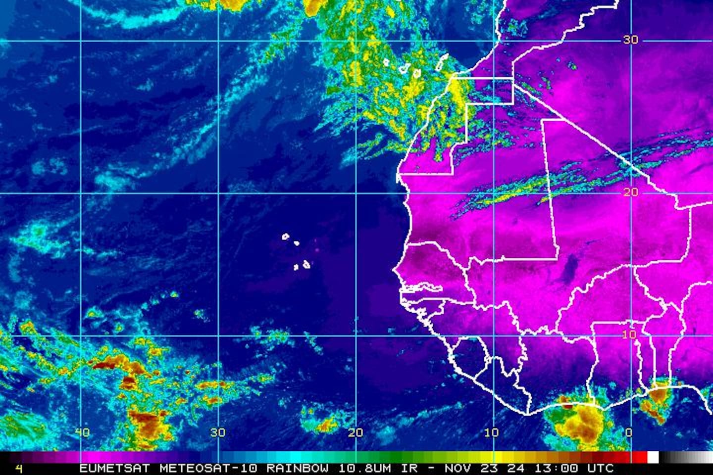
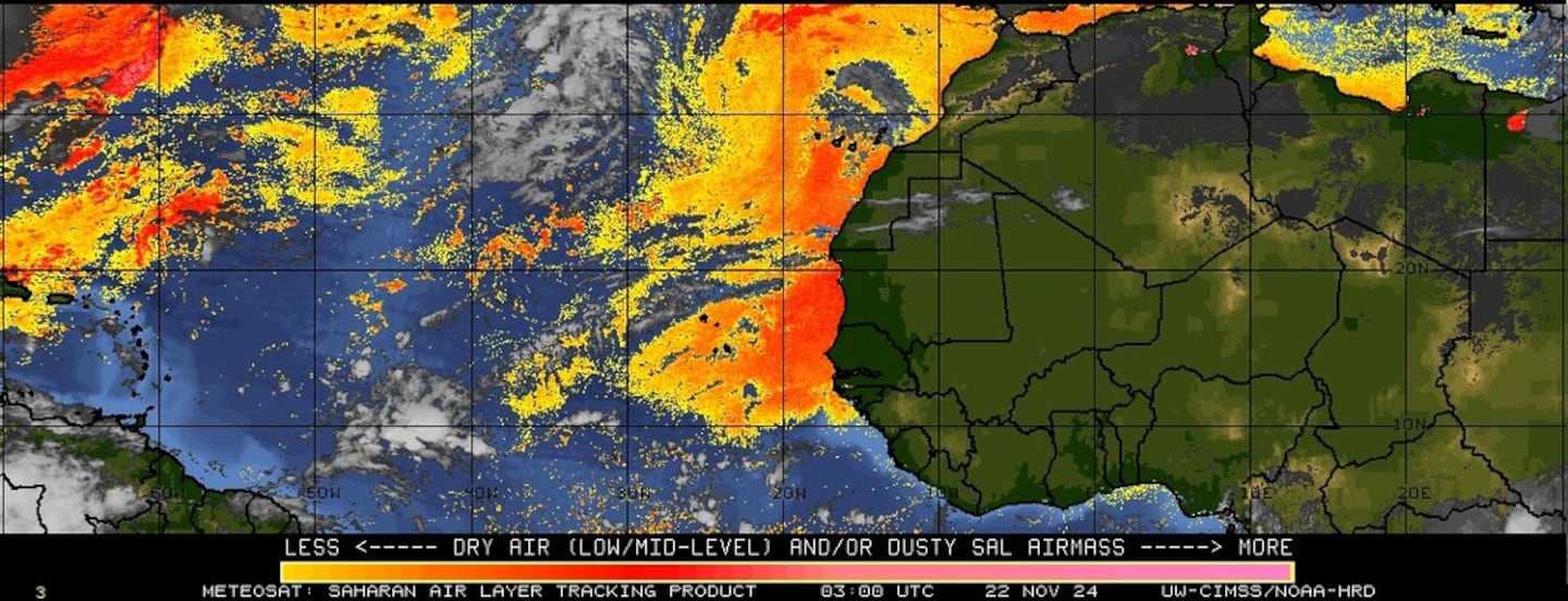
East Atlantic -- as we head into the peak of the Cabo (Cape) Verde season, waves are rolling west off Africa.

Wind shear analysis (red is stronger shear) - increasing shear along the path of "Harvey" once into the Caribbean.... as well as in the vicinity of '92L'....
0
Water vapor imagery:
1
Imagery below courtesy CIMMS shows African Saharan dust (orange & red) still pretty persistent & widespread over the E/NE Atlantic.....
SE U.S. surface map:


Surface analysis centered on the tropical Atlantic:

Surface analysis of the Gulf:

Caribbean:

Cox Media Group


