
Aug. 23, 2016 — Active Atlantic Basin but forecast models struggling with consistency so any tropical cyclone impacts on the U.S. remain unclear....... hurricane recon aircraft to investigate wave east of the Lesser Antilles Tue. afternoon......
"Gaston" strengthening over far E. Atlantic ......
The strong wave that moved off the coast of Africa over the weekend became tropical depression #7 Monday and is now tropical storm "Gaston". A quick uptick in intensity to hurricane strength should allow for a rather sharp turn to the north which would keep the tropical cyclone well to the east of the U.S. over the open Atlantic so no local impacts.


"Fiona" continues its fight against southwesterly shear & dry air & may degenerate into a remnant low. The weak system will have a tendency to drift more to the west since it's become so shallow. Some models do try to bring "Fiona" back to life this weekend & beyond over the Western Atlantic but there are no short term concerns regarding "Fiona". Models have certainly shifted west, but it remains to be seen how much of "Fiona" survives the hostile environment which includes a second upper level trough that will move over the W. Atlantic later this week. It's possible the system could become mixed in with whatever tries to develop over or near the Bahamas(!) in the longer term.
A strong tropical wave (99L) at a much farther south latitude is moving into the Central Atlantic. This wave is up against a lot of dry mid & upper level air & its associated convection remains disorganized. While atmospheric conditions are only marginal, we'll have to watch this wave later this week as it moves toward the Northeast Caribbean then possibly the Southwest Atlantic & east of Florida (it would appear). Forecast models have been very inconsistent on track & intensity which is no surprise since the wave has not yet a tropical cyclone. But I would expect at least some development near the Bahamas late this week with a possible move to the west thereafter. The GFS model has backed way off its earlier model runs & has been depicting little more than an open wave moving across Florida this weekend. The European model is much stronger showing a storm moving across Florida then into the Eastern Gulf of Mexico before turning back to the northeast from the early to middle part of next week. This is a massive difference in output & seems tied to timing. The GFS is quite a bit faster with the wave (this weekend) leaving little time for development. The European is slower (by several days) which gives the wave more time to develop. It does look like any development will come down to timing as a fast-moving wave will most likely have a tough time developing much. In any case.... an Air Force Reserve reconnaissance plane is scheduled to fly into & over the atmospheric wave Tue. afternoon. If models continue at such odds, it would be great if we could get a NOAA research plane into & around the wave -- sampling the atmosphere -- on a regular schedule this week.
As a whole.... the Atlantic Basin is clearly more active. What is not clear is the eventual outcome mainly due to the variance of solutions from forecast models. I'm quite confident that a strong huricane ("Gaston") develops over the Eastern/Central Atlantic & recurves. But the Western Atlantic, Caribbean & maybe Gulf of Mexico are much more of a wild card. Strong high pressure -- for this time of year -- will be rather persistent across the Northeast U.S./North Atlantic which in turn induces lower pressure farther to the south. This set-up alone tells us to expect at some kind of low pressure near or over the Southwest Atlantic. So given the set-up, we should be careful not to dismiss tropical waves that remain weak while crossing the Atlantic but then move into areas that might be more favorable for development (troublesome "late bloomers").
East Atlantic:
"Fiona":

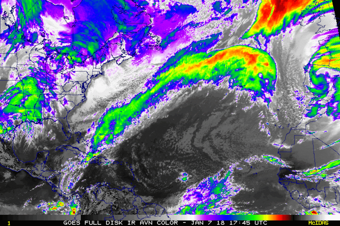
Water vapor imagery below shows a vast area of dry air (dark & rust colored) over the Caribbean extending into the Southwest Atlantic which could negatively influence tropical cyclones.... at least initially. The farther west any waves or tropical cyclones can get, the better -- in general -- atmospheric conditions will be for possible intensification.

Wind shear is strongest over the Central Atlantic & W. Caribbean. Shear of 25-35 mph is impacting at least the northern portion of wave 99L east of the Caribbean......

"Fiona":

Model forecasts for "Fiona":
0
Model forecasts for wave (99L) east of the Caribbean:
1
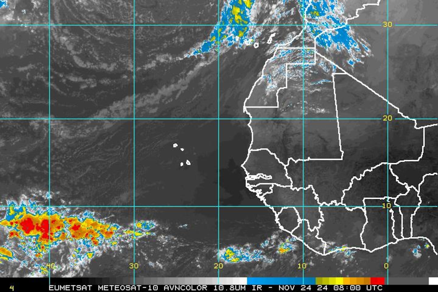
Satellite imagery centered on Africa & the far E. Atlantic shows the disturbances lined up across Africa - pretty classic for this time of year:


Cox Media Group


