
Aug. 4, 2017 — Two main areas of interest/concern continue:
(1) SW Gulf of Mexico & Bay of Campeche - gradual tropical development possible through the weekend/early next week. This can be a "hot bed' this time of year & any development would primarily impact Mexico &/or Texas. This possible development would likely come from a tropical wave - 90L - currently over the Caribbean that's moving W/NW. The European model is the strongest while the GFS model holds off development longer resulting in a weaker system. The UKMET model shows little or no development.
(2) Eastern & Central Atlantic where an active tropical wave ('99-L') has a good chance to develop into a tropical cyclone. The GFS model has this wave becoming a powerful hurricane & making a beeline west/northwest underneath the strong Bermuda high over the Central/Eastern Atlantic while the European model eventually dissipates a weak tropical cyclone... the UKMET model has been somewhere inbetween. It's most likely the a faster/stronger developing system would end up farther north (poleward) while a weaker system would go farther west largely steered by the low level trade winds.
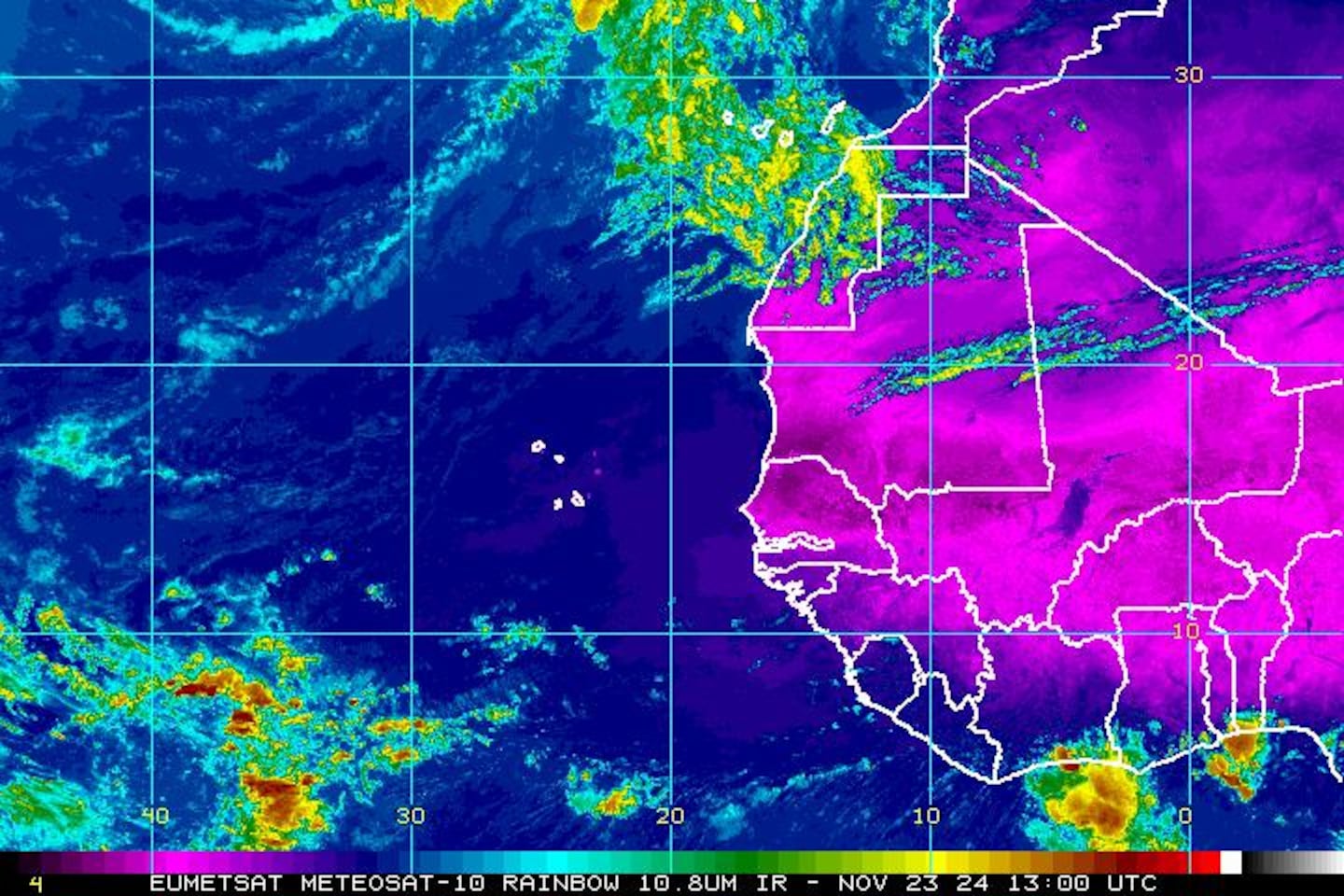


'90L':


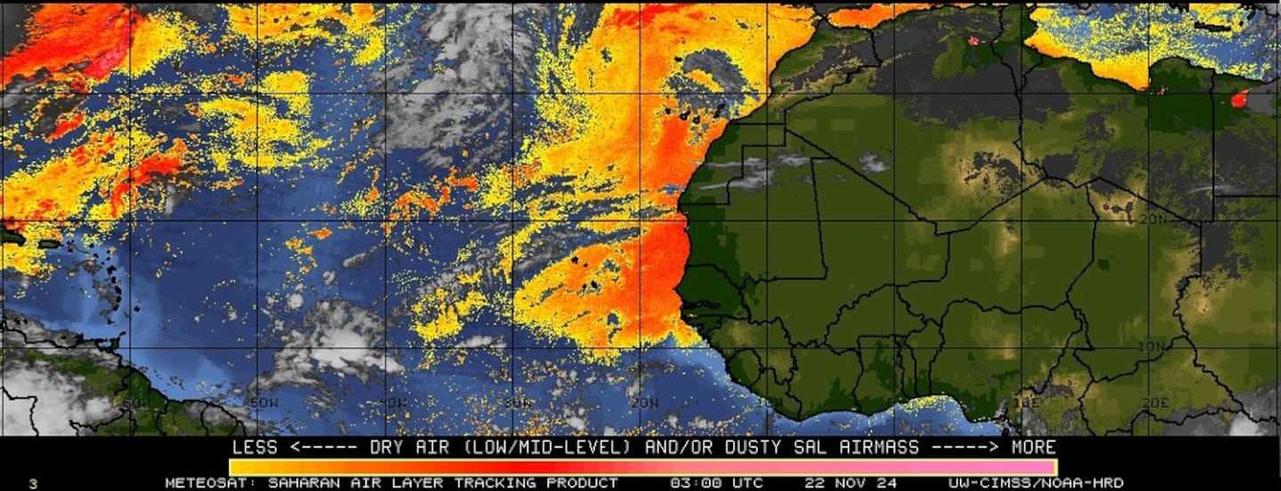
Imagery below courtesy CIMMS continues shows the persistent stream of African Saharan dust (orange & red) over the Central & Eastern Atlantic with a stream of dust far to the west into the SW Atlantic:
Water vapor imagery shows moisure returning to Florida....
0
Surface analysis centered on the tropical Atlantic shows the strong Bermuda high remains anchored over the Central Atlantic...
1
Surface analysis of the Gulf:

Caribbean:

Wind shear analysis (red is stronger shear)...

The W. Pacific...... the broad eye of "Noru" will make a hit on Southern & Central Japan over the weekend perhaps as a Cat. 1 or 2 typhoon:


"Noru":

Cox Media Group


