
Sept. 23, 2016 — "Karl" over the Central Atlantic... weakening "Lisa" far E. Atlantic.... strong tropical wave moving off the coast of Africa....
PEAK MONTH OF THE HURRICANE SEASON... You should always be prepared & aware. First Alert Hurricane Center ** here **. Reminder that flood insurance policies take 30 days to take effect..... & will not be written when/if a named storm is nearby.


Tropical cyclone "Karl" is now solidly getting its act together. No changes. The intensification is key for the turn north along with the positioning of an upper level trough near the U.S. east coast along with the upper level high over the Central Atlantic. The juxtoposition of these two weather features will be the alleyway for "Karl", the sharp turn north & then acceleration northeast. "Karl" will be pretty close to Bermuda Saturday as a hurricane reaching Jacksonville's latitude but hundreds of miles to the east Fri. night. Given the distance from Jacksonville & expected intensification, easterly swells from "Karl" will reach First Coast beaches through Sat. with an enhanced rip current risk.


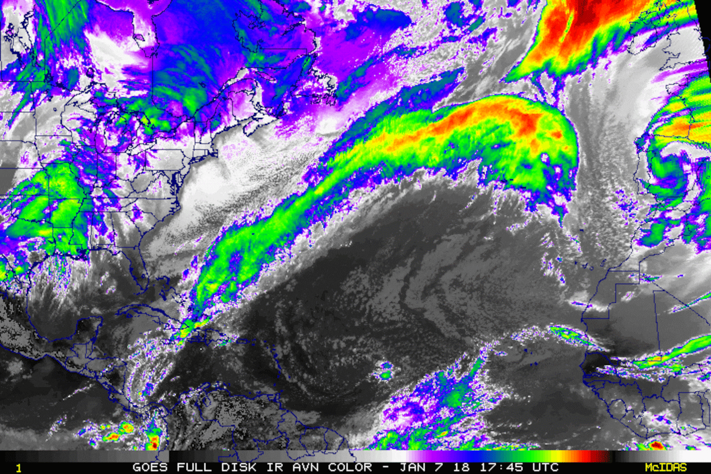
Water vapor imagery below shows a good deal of dry air over the Central Atlantic....
0
The wind shear (red lines represent strongest shear) analysis shows "Karl" sandwiched between two high shear zones ... also strong shear across much of the Caribbean.....
1
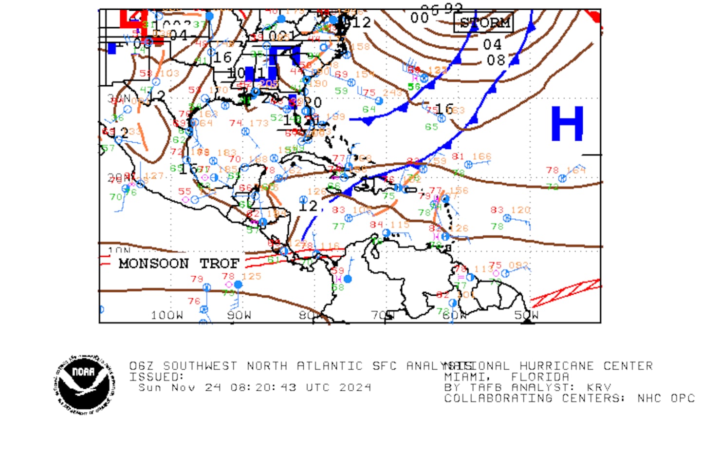
Gulf of Mexico:

East Atlantic:
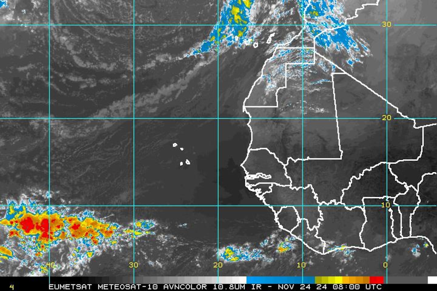
Satellite imagery centered on Africa & the far E. Atlantic shows tropical waves continuing to move westward & still lined up across Africa - pretty classic for this time of year though we will be nearing the end of the "wave train" typically within a couple of weeks or so. A wave that moved off Africa last weekend & became "Lisa" is now falling apart as strong southwesterly shear pushed the strongest convection northeast of the center. "Lisa" will become a post-tropical low over the weekend.
Yet another wave is moving west off Africa but at a more southern latitude with at least some potential for development. Several long range global forecast models latch onto this wave taking the wave quickly to near the Caribbean by the middle to end of next week. Definitely a wave to watch but, of course, still very early in the possible sytem's evolution.
"Lisa":


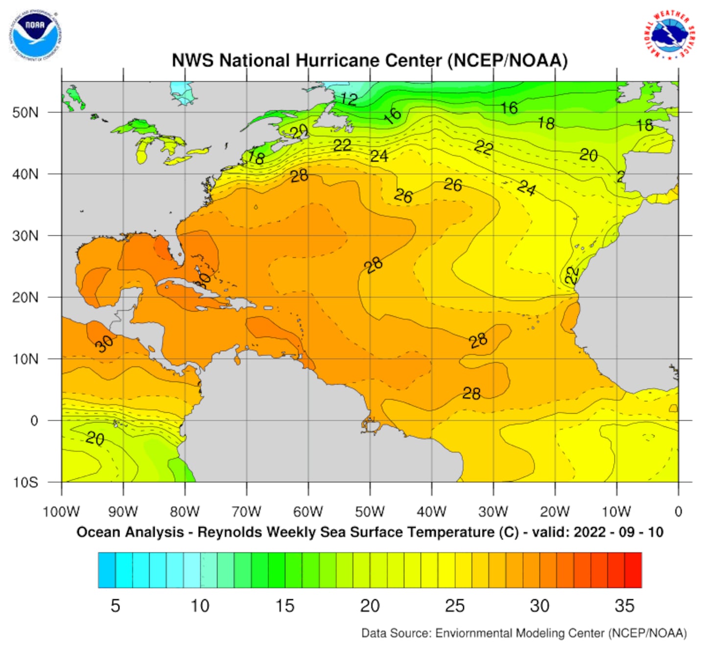
Lots of warm water to help "feed" tropical cyclones. Water temps. of 28 degrees Celsius equates to 82 degrees Fahrenheit. Tropical cyclones generally need at least 80 degree water to thrive.
Sea surface temps. vs. average:
0
1
2
In the W. Pacific.... yet another significant typhoon is forming -- "Megi". At this early juncture the storm is forecast to near recently typhoon-battered Taiwan early next week.
3
4
Cox Media Group


