JACKSONVILLE, Fla. — This morning is mild with temperatures in the mid 70s.
- A few showers will likely try to develop along the coast in NE Florida this morning.
- Midday and afternoon inland showers and storms are forecast today.
- Locally heavy downpours and lightning are the primary threats.
- An isolated 40+ mph wind gust is possible in any stronger storms.
- Highs will range from the upper 80s to lower 90s this afternoon.
- A few showers are possible in the morning on Saturday with scattered afternoon storms.
- A few afternoon storms are likely on Sunday and Monday.
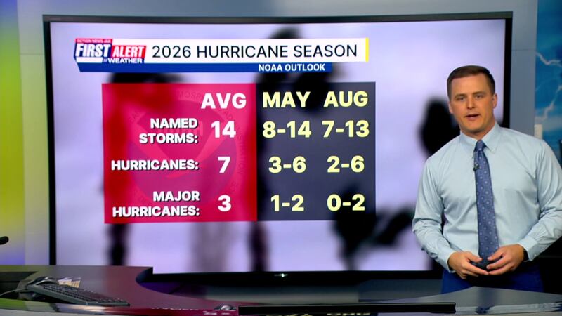
TROPICS:
No areas of concern.
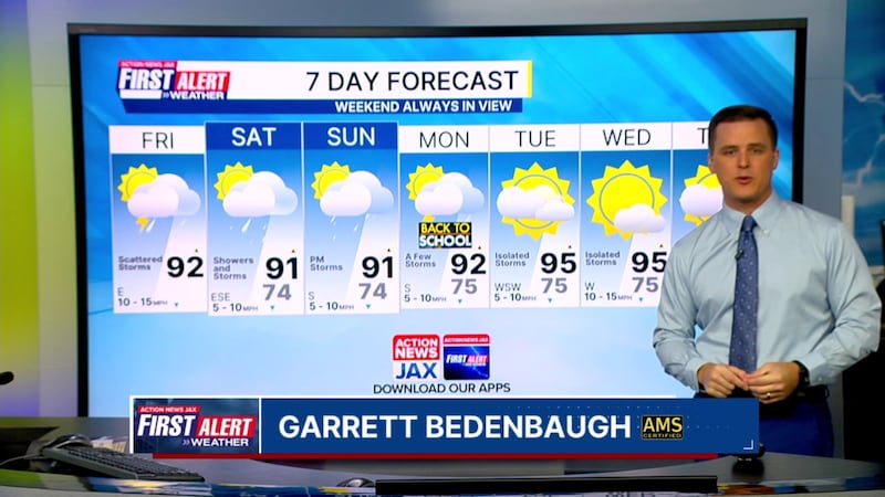
TODAY: Partly cloudy with a few morning coastal showers. Midday and afternoon inland storms. HIGH: 92
TONIGHT: Lingering shower/storm early. Partly to mostly cloudy. Muggy. LOW: 74
SATURDAY: Mostly cloudy with a few AM showers and scattered afternoon storms. 74/91
SUNDAY: Partly cloudy with a few afternoon storms. 74/91
MONDAY: Partly cloudy with a few afternoon storms. 75/92
TUESDAY: Partly cloudy with isolated afternoon storms. 75/95
WEDNESDAY: Partly sunny with an isolated afternoon storm. 75/95
THURSDAY: Partly sunny with an isolated afternoon storm. 74/96
WATCH THE FORECAST | DOWNLOAD THE APPS
Follow Action News Jax Meteorologists on Twitter for updates:
Mike Buresh | Garrett Bedenbaugh | Corey Simma | Trevor Gibbs
ALLERGY TRACKER: See what the pollen counts look like in our area
LISTEN: Mike Buresh ‘All the Weather, All the Time’ Podcast
INTERACTIVE RADAR: Keep track of the rain as it moves through your neighborhood


