JACKSONVILLE, Fla. — Here’s what the First Alert Weather Team said you can expect for the First Alert Weather forecast:
- A very warm & dry weather pattern will continue into the weekend. Some fog will form each night into the early morning with lows in the 50s to low 60s, then plenty of sun each day through Saturday with highs near daily records in the low to mid 80s inland to the 70s at the beaches.
- A wind shift to out of the northeast will bring temperatures down slightly for Sunday but still above average, with highs well into the 70s to around 80 inland vs. the low 70s at the beaches.
- No significant rainfall in sight.
WATCH THE FORECAST | DOWNLOAD THE APPS
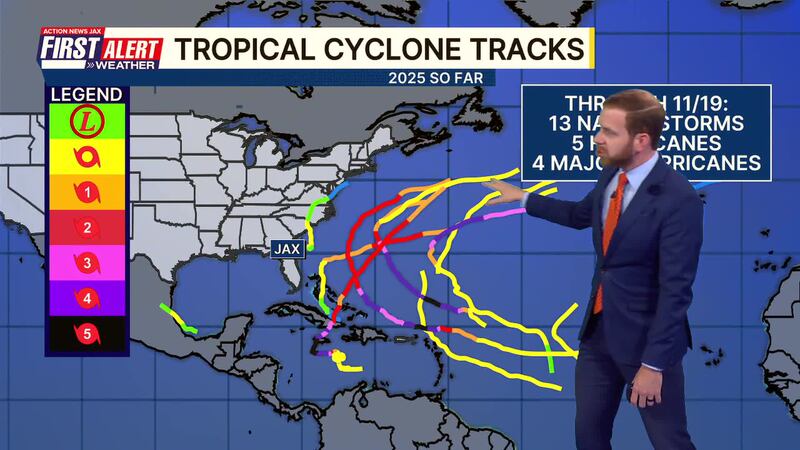
Tropics:
- All is quiet with a week-&-a-half left in the Atlantic hurricane season. Always more: “Talking the Tropics With Mike”.
Follow Action News Jax Meteorologists on Twitter for updates:
Mike Buresh | Garrett Bedenbaugh | Corey Simma | Trevor Gibbs
First Alert 7-day Forecast:
- TONIGHT: Clear, fog late. Low: 56
- THURSDAY: Fog early, then mostly to partly sunny & warm. High: 84 (record=86/1988)
- THURSDAY NIGHT: Clear, fog late. Low: 60
- FRIDAY: Partly sunny. High: 85 (record=84/1991)
- SATURDAY: Partly sunny. 61/83 (record=84/1973)
- SUNDAY: Partly sunny. 60/78
- MONDAY: Partly sunny. 57/78
- TUESDAY: Partly sunny. 60/81
- WEDNESDAY: Partly sunny. 60/82