JACKSONVILLE, Fla. — Here’s what the First Alert Weather Team said you can expect for the First Alert Weather forecast:
- Above-average temperatures through the weekend under partly cloudy skies. Highs – near records – in the 80s, 70s to near 80 at the beaches, lows in the 50s & 60s.
- A strong cold front will arrive Sunday night with a few brief showers, then sharply colder temps. early next week. Highs will only reach the 50s & 60s with gusty winds, particularly on Monday. Lows will be in the 30s – near records & cold enough for some inland frost early Tue. & early Wed.
WATCH THE FORECAST | DOWNLOAD THE APPS
Tropics:
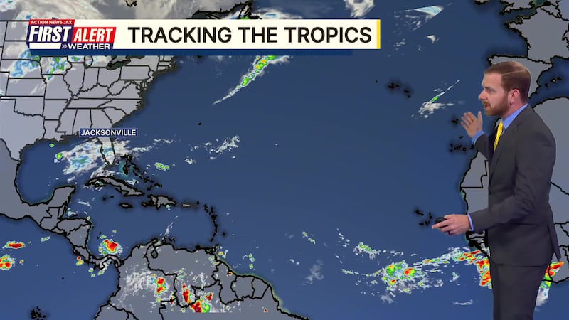
- *No action* in the Atlantic Basin… W. Pacific – typhoon moving into Vietnam… another one hits the Philippines in a few days. Always more: “Talking the Tropics With Mike”.
Follow Action News Jax Meteorologists on Twitter for updates:
Mike Buresh | Garrett Bedenbaugh | Corey Simma | Trevor Gibbs
First Alert 7-day Forecast:
- TONIGHT: High clouds, fog late. Low: 56
- FRIDAY: Partly sunny. High: 83
- FRIDAY NIGHT: Partly cloudy. Low: 61
- SATURDAY: Partly sunny & warm. High: 84 (record: 85/2024)
- SUNDAY: Partly to mostly cloudy & warm with a brief shower at night. 64/86 (record: 86/2023)
- MONDAY: Partly sunny, windy & much colder. 52/64
- TUESDAY: Sunny & cold. 36/59 (record: 35/1977)
- WEDNESDAY: Sunny… cold early… milder afternoon. 33/69 (record low: 31/2011)
- THURSDAY: Mostly sunny. 41/74

LISTEN: Mike Buresh ‘All the Weather, All the Time’ Podcast
INTERACTIVE RADAR: Keep track of the rain as it moves through your neighborhood