PHOTOS: New renderings of Jacksonville's planned Emerald Trail
Image 0 of 4
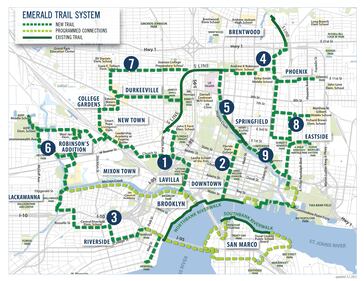
NEW: Renderings of Jacksonville's planned Emerald Trail The overall map of the 30-mile Emerald Trail. (Groundwork Jacksonville)
NEW: Renderings of Jacksonville's planned Emerald Trail Hogan Street. The Hogan Street section, a one-mile link, will connect the St. Johns River to Springfield, just north of FSCJ. (Groundwork Jacksonville)
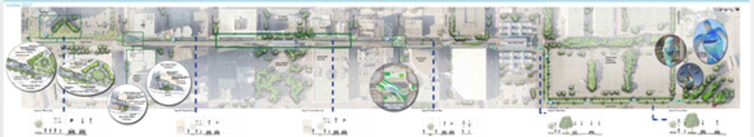
NEW: Renderings of Jacksonville's planned Emerald Trail Forsyth Street to Adams Street (Groundwork Jacksonville)
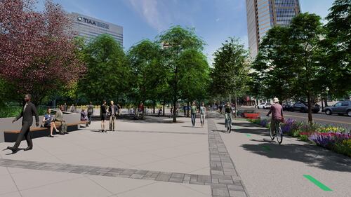
NEW: Renderings of Jacksonville's planned Emerald Trail Water to Bay view of Emerald Trail (Groundwork Jacksonville)