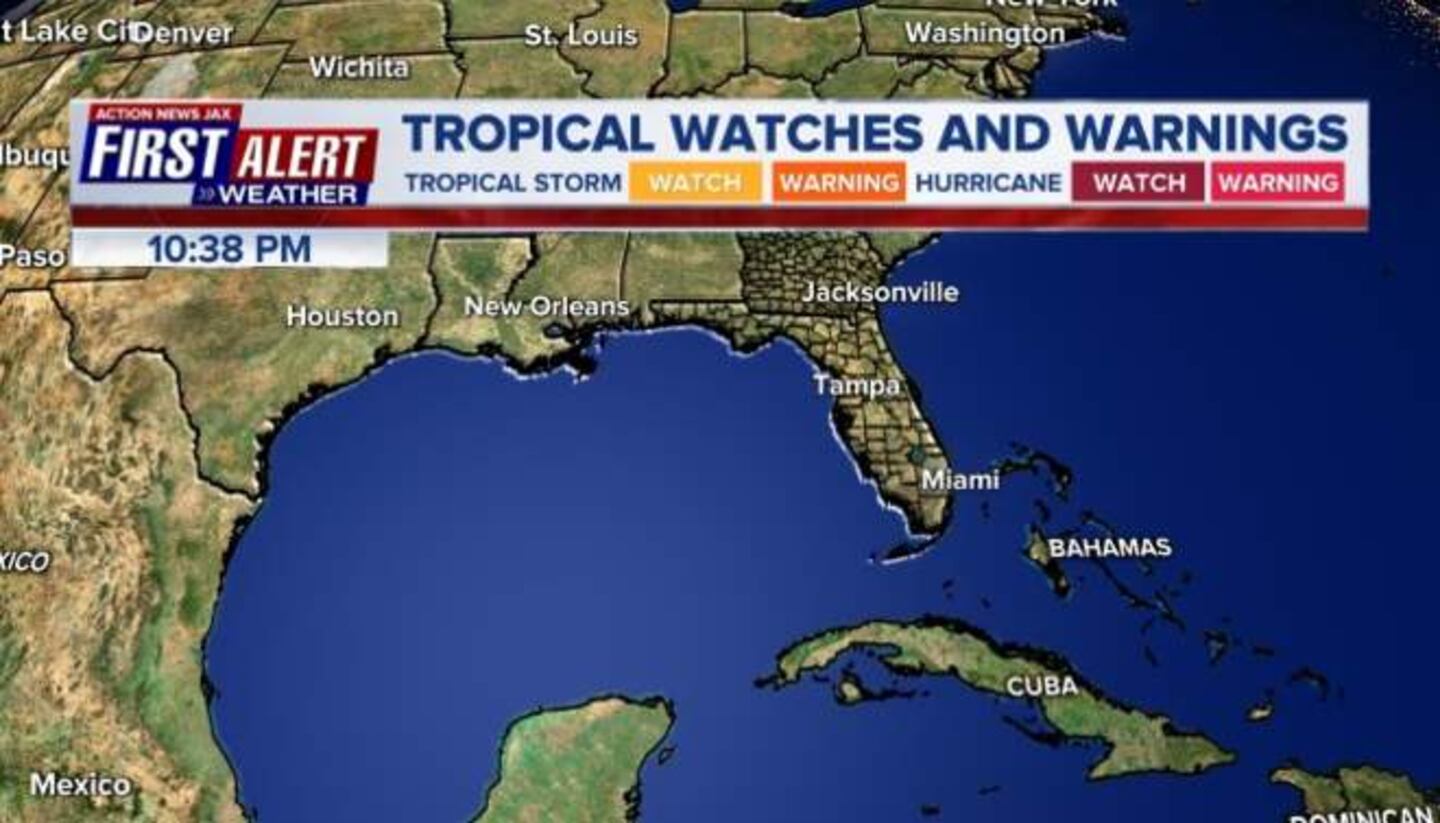
May 26, 2018 — Tropical storm WARNING Dry Tortugas & W. Cuba... Fl. Panhandle & coastal Alabama/Mississippi + portion of Fl. west coast......
"Alberto" will transition to fully tropical by late Sunday as the storm moves some semblance of northward over the Gulf of Mexico. After a dry day Saturday for Jacksonville/NE Fl./SE Ga,. rain will increase Sunday followed by heavy & potentially strong t'storms Monday.......
The "Buresh Bottom Line": Always be prepared!..... City of Jacksonville Preparedness Guide... Georgia Hurricane Guide.
The first named storm in May to form over/near the Gulf of Mexico since 1976 -- & only 5th since 1851 -- "Alberto" is near the Yucatan Channel & will slowly move northward over the Gulf of Mexico through the weekend. The storm is being called - & appears on satellite imagery to be - subtropical which means the system does not yet have a full warm core. There's some cool air & frontal structure involved in other words. But this is simply semantics & does not change the overall forecast. In fact, Alberto will gradually transition to fully tropical before landfall. Alberto's center reformed Sat. morning over the SE Gulf of Mexico & the center may jump around or reform again due to bursts of convection. The most probable "landfall" is from Pascagoula to Panama City centered on Pensacola / Mobile - sometime Monday/Mon. evening.... lingering across the deep south next week.
Given this track... the impacts for Jacksonville / NE Fl. / SE Ga. are mainly fringe - in order of magnitude:
* heavy rain - rainfall will average 2-4" through Mon. but locally more causing some localized flooding. Most of this total will fall Sunday/Memorial Day.
* rip currents at area beaches. A broad & persistent onshore flow out of the southeast will cause a moderate to high rip current risk through the holiday weekend. Never swim & surf alone & always as close to lifeguard as possible.
* somewhat breezy winds of 10-20 mph on avg. but with local much higher brief gusts - 40-50 mph - with any strong rain bands or with any stronger thunderstorms
* very isolated waterspouts or tornadoes - higher tornado threat to the west
If traveling west along the I-10 corridor through the Panhandle to Mobile, Biloxi & New Orleans, flooding rain will be likely along with rip currents at beach locations... strong winds... at least some storm surge... & a few tornadoes.
May tropical cyclones have occurred 4 times in the last 5 years but developed over the Atlantic:
2016 (1 - Bonnie)... 2015 (1 - Ana)... 2012 (2 - Alberto & Beryl).
The list of names repeats every 6 years, & - interestingly - Alberto was also a May storm in 2012.
On an historical note - only 4 tropical or subtropical cyclones have developed over the Gulf of Mexico since 1851 during the month of May. Just 1 of those storms has been during the satellite era of the early 1960s - on May 22nd, 1976.
Still poorly organized.... Alberto sits near the Yucatan Channel. The system will drift to the north but gradually pick up some speed over the Central Gulf while moving north/northeast then turning more north before curving northwest with time.
A combination of strong shear out of the west... dry air over the Western Gulf.... & marginal sea surface temps. should all add up to a system that remains heavily weighted on the east side which is typical of early season tropical disturbances. Shear will lessen over the far Northern Gulf & some forecast models respond by showing an intensifying system - this is something to consider.
The screaming message with this disturbance will be heavy rain potential for Jacksonville & especially west along the I-10 corridor all the way to New Orleans. The more west you go from Jacksonville, the stronger the impacts: gusty winds, rough seas/surf, rip currents, some storm surge, heavy rain & tornadoes.
Water vapor imagery shows a lot of dry air over the Western Gulf of Mexico - an obstacle for development as Alberto moves north over the Gulf....
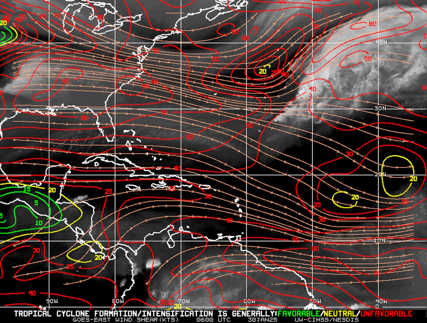
Mid & upper level wind shear (enemy of tropical cyclones) analysis (CIMMS). Notice the red lines across the gulf indicating strong shear which will likely limit just how strong the Gulf disturbance will become & keep the disturbance's heavy rain & what wind might develop over the eastern part of the low level circulation. Shear will be less significant over the Northern Gulf.
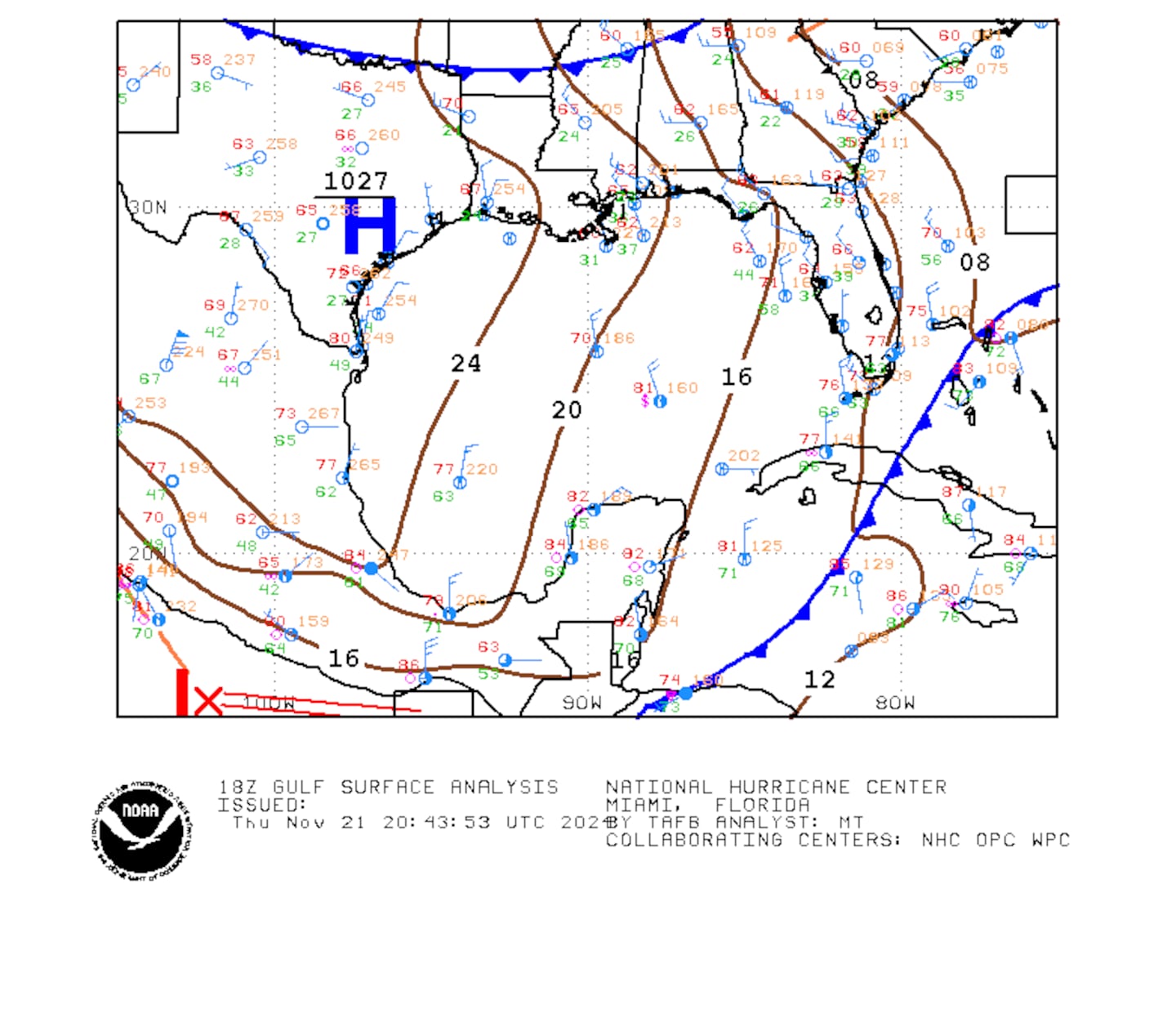
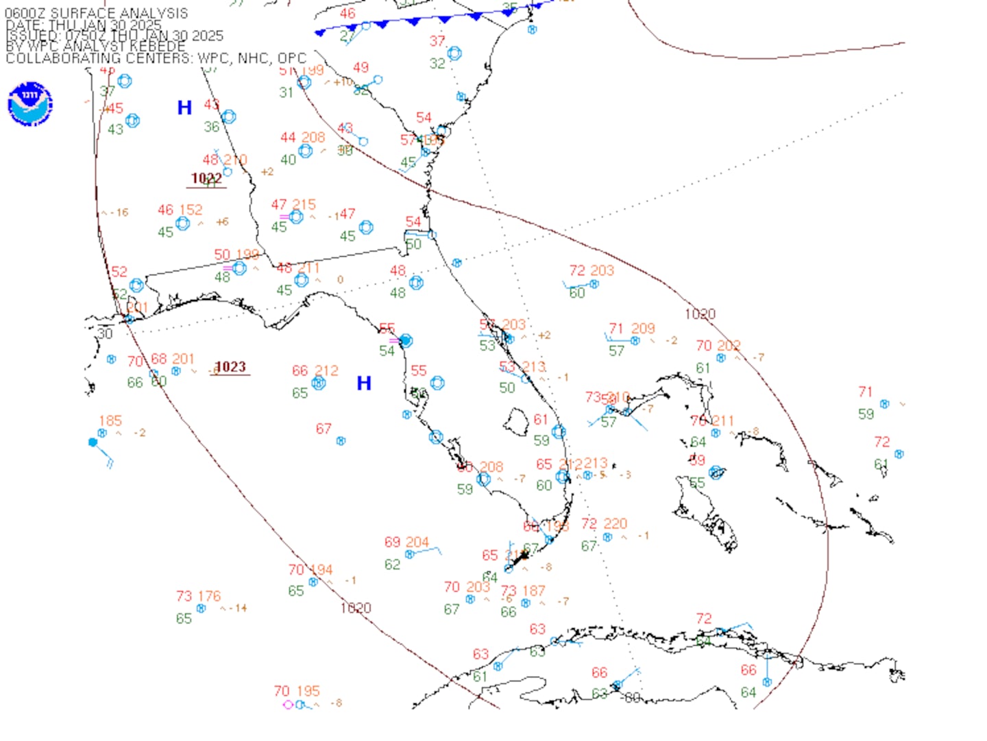
Surface observations:
0
1
Spaghetti plots from various forecast models:
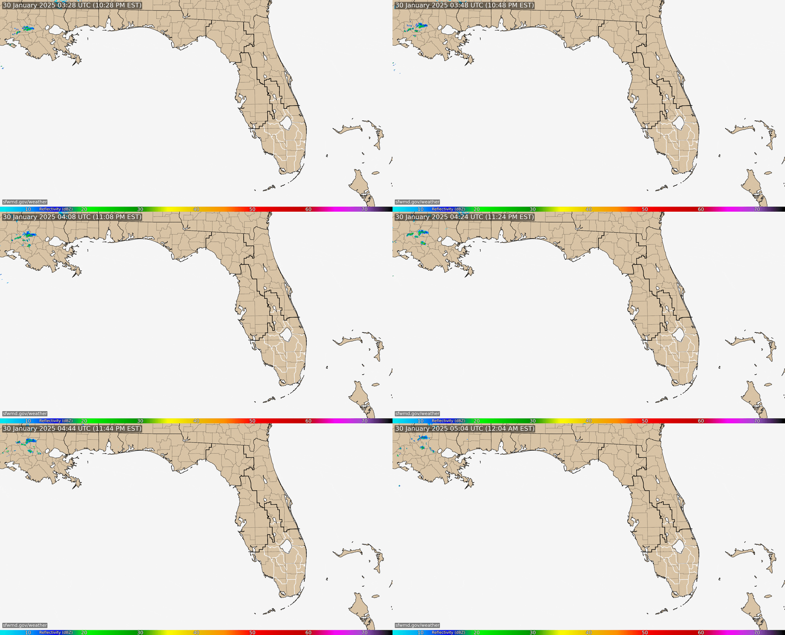
Radar imagery from the S. Fl., Water Management District:
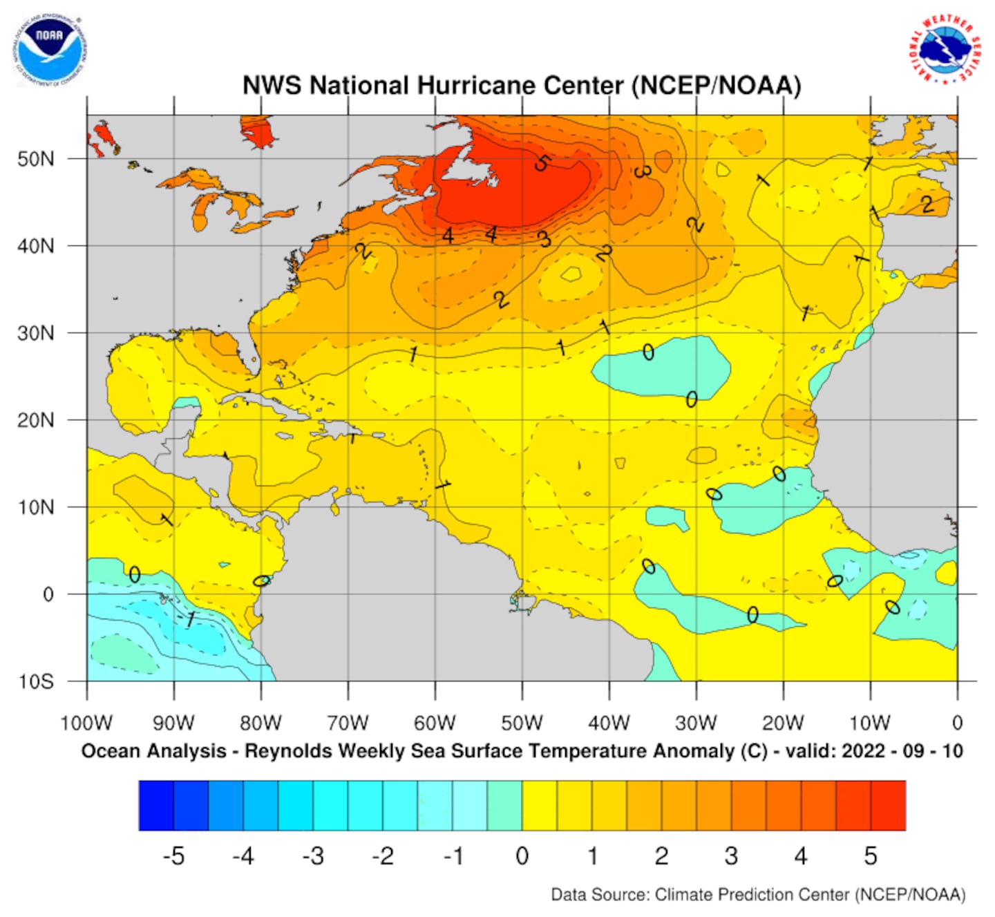
Deep oceanic heat content is typically lacking in May & this year is no different:
Sea surface temp. anomalies (a little cool either side of Fl.):
SE U.S. surface map:
Surface analysis centered on the tropical Atlantic:
0
Surface analysis of the Gulf:
1
Caribbean:
2
Extensive hurricane Irma recap from Sept., 2017 - click here.
3
Cox Media Group


