July 6, 2018 — The "Buresh Bottom Line": Always be prepared!.....First Alert Hurricane Survival Guide... City of Jacksonville Preparedness Guide... Georgia Hurricane Guide.
Watch "Surviving the Storm".....
"Beryl" has gone through a fast organizing/strengthening period as a very small but relatively powerful tropical cyclone over the Central Atlantic & has become a hurricane. The avg. first date for an Atlantic hurricane is Aug. 10th & Beryl is the farthest south & east hurricane to develop over the Atlantic Basin at such an early date. Only two other hurricanes have formed over the tropical Atlantic so early in the season - both were "Bertha" - in 1996 & 2008.
A product of the modern satellite era - & especially the new & improved GOES-East.... born from one of the first bona-fide African tropical waves of the season, Beryl's tiny circulation has managed to shrug off dry air to the immediate north... sea surface temps. only in the upper 70s... & has found a niche of sorts within which to thrive...... for now. But the mid & upper level shear is very strong over the Caribbean extending several hundred miles to the east of the Caribbean. That should be good news for the Lesser Antilles as Beryl nears the Windward Islands Sunday/Sunday night but starting to weaken. Still... a tropical storm watch or warning could be necessary for some of the islands depending on how quickly Beryl spins down as the tropical cyclone is now forecast to possibly be still at hurricane strength upon approach to the islands. Anyone with travel plans to the Caribbean should stay up to date on the latest forecasts. There will be no impacts on Jacksonville/NE Fl./SE Ga. but some heavy rain could occur as far north & west as Puerto Rico & Hispaniola next week depending on the ultimate track & intensity.
Spaghetti plots of 'Invest 95L', now "Beryl":


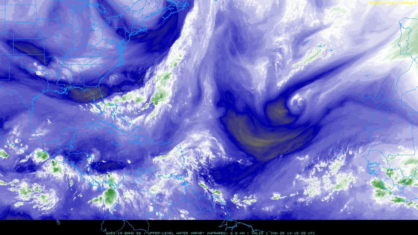
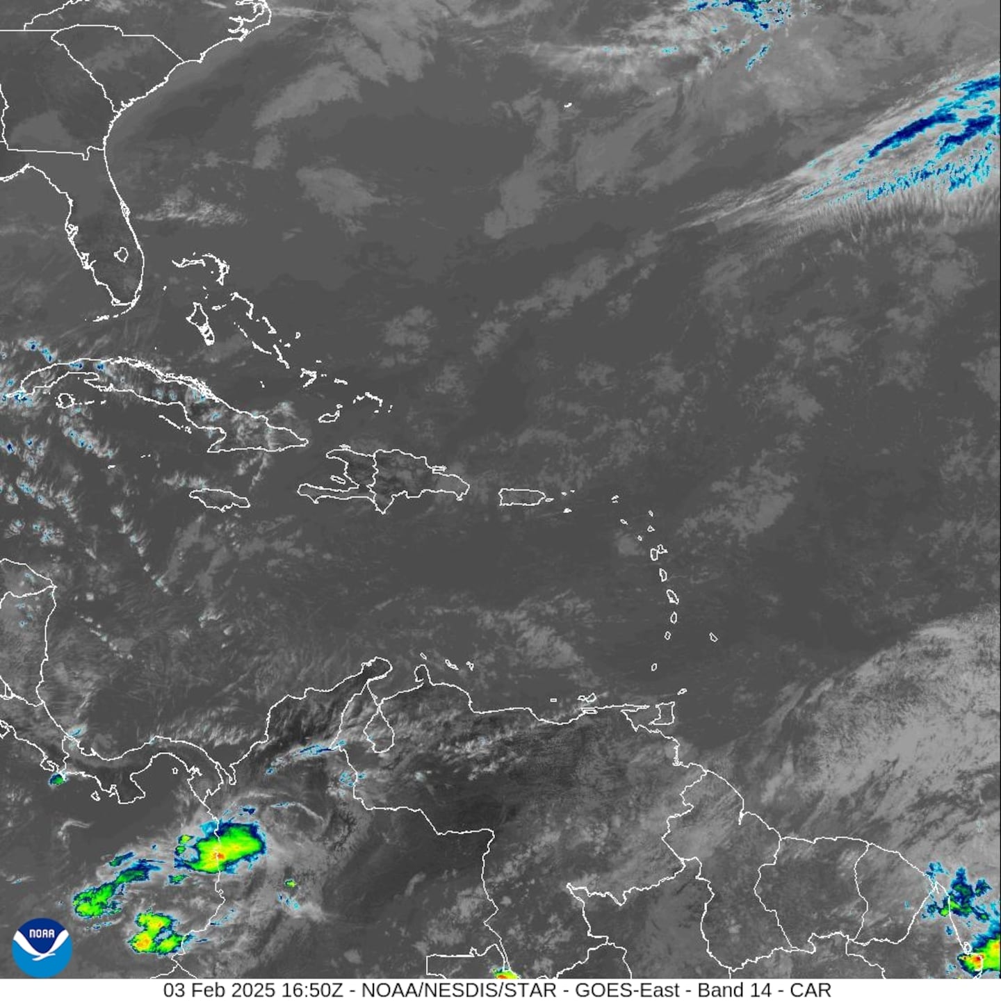
Water vapor imagery below shows a lot of dry in front (west) of Beryl.....
The name Beryl, by the way, has a history in Jacksonville. Recall that tropical cyclone names are repeated every 6 years (unless retired). In 2012, strong tropical storm Beryl made landfall in Duval Co. - at Jacksonville Beach - early Memorial Day, May 28th.
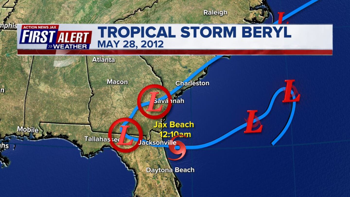

The storm produced heavy rain, gusty winds & isolated tornadoes. Image below from NASA/TRMM, Hal Pierce:

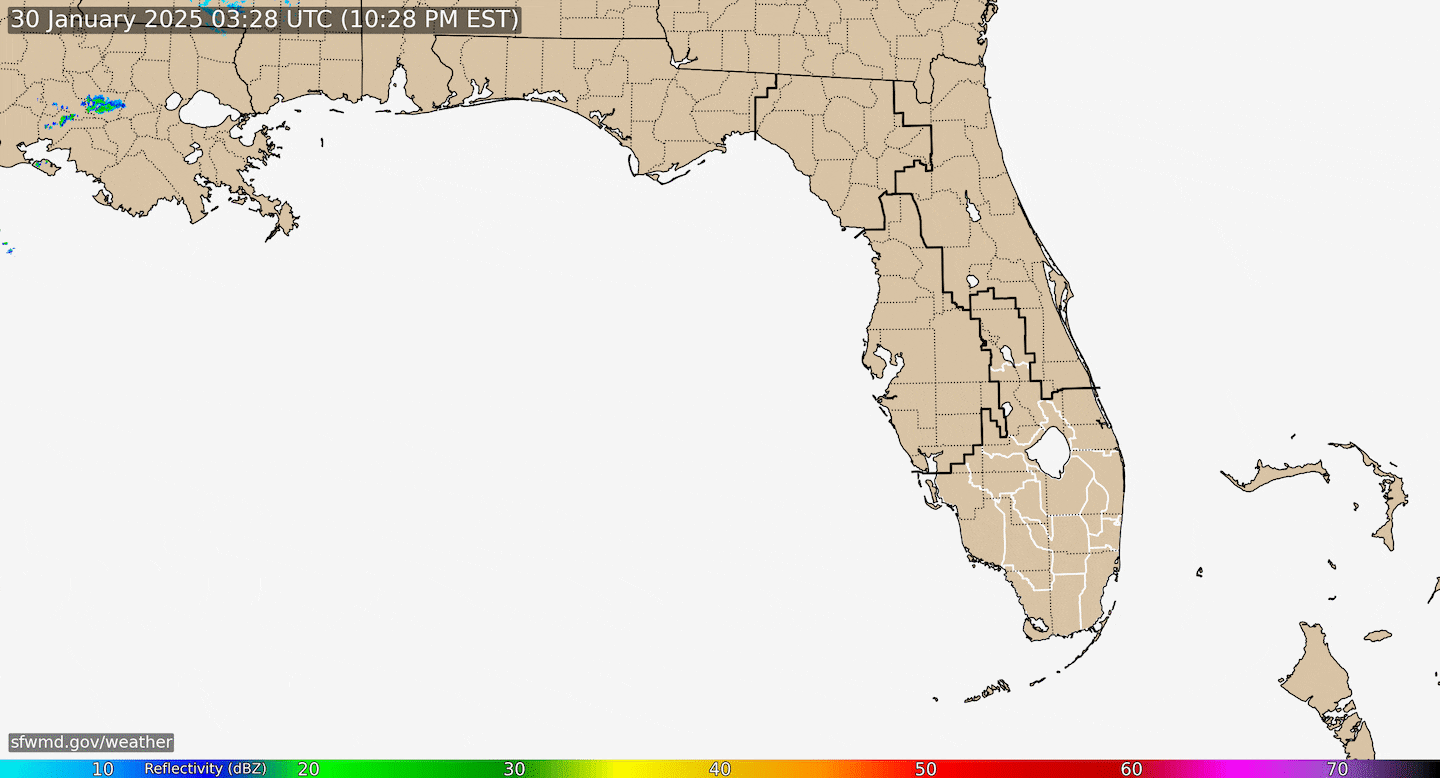
Another weak upper low has developed just northeast of Jacksonville with perhaps a small surface reflection (low) as well. This feature will move west/southwest enhancing storms across NE Fl./SE Ga. but no tropical development is expected.
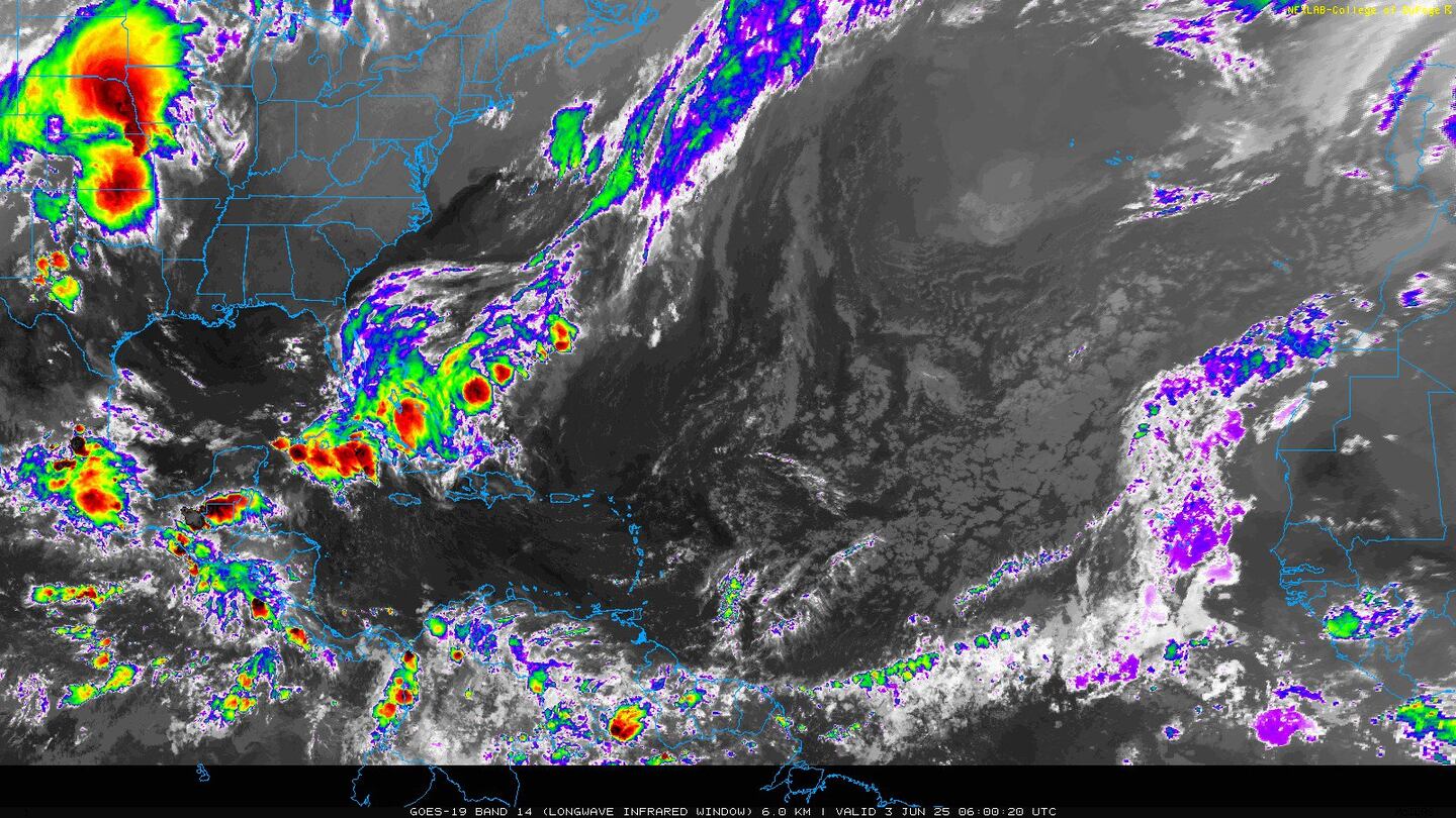
Radar imagery courtesy S. Fl. Water Management District:
An upper level trough - & organizing surface low - is over the Western Atlantic about midway between the Carolina's & Bermuda. This low could become subtropical or even tropical while remaining just about stationary some 400-600 miles or so northeast of Jacksonville. THIS IS A CHANGE FROM EARLIER FORECASTS. The change is that a cold front supported by an upper level trough to the north will now likely not pick up this disturbance as previously expected. So this low pressure will just sort of sit offshore of the Carolina's through early in the upcoming week all the while slowly organizing over warm enough water to support some tropical development. The next front & upper level trough later next week should then pick up this disturbance moving the low to the north then northeast. This system may end pretty close to the U.S. coast for a while before accelerating to the northeast, so this is something to watch - especially from the Carolina's north all the way to NYC but staying north & northeast of Jacksonville.
Invest '96L' spaghetti model plots:
0
Analysis below courtesy CIMMS shows water temps. near 80 degrees & right on the edge of lower shear values for '96L':
1
Tropical storm Beryl over the Central Atlantic....


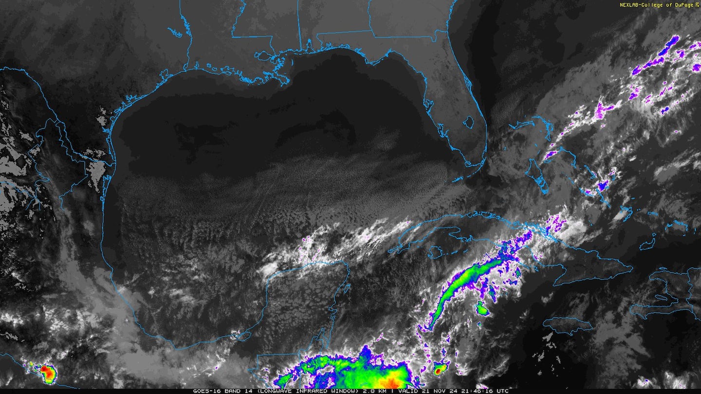
Gulf of Mexico:

Water vapor imagery:

Mid & upper level wind shear (enemy of tropical cyclones) analysis (CIMMS). The red lines indicate strong shear...... note how strong the shear is over & east of the Caribbean which should shred Beryl over the weekend....


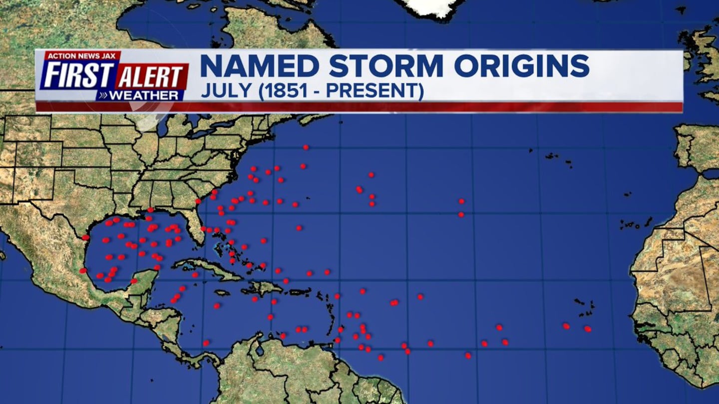
July tropical cyclone genesis areas since 1851 courtesy Dr. Phil Klotzbach:
Deep oceanic heat content is slowly increasing.....

Sea surface temp. anomalies are below avg. across much of the middle of the Atlantic with unseasonably cool temps. off the coast of Africa....

SE U.S. surface map:

Surface analysis centered on the tropical Atlantic:

Surface analysis of the Gulf:

Caribbean:

Meanwhile.... the W. Pacific... typhoon (W. Hemisphere so hurricanes are referred to as typhoons) "Maria" has become a powerful super typhoon but has likely reached it peak intensity. The typhoon is forecast to pass just south of Okinawa while staying far to the south of the main islands of Japan.... then into the coast of China south of Shanghai possibly still at Cat. 1 or 2 strength about the middle of next week. While strengthening, Maria did damage to Guam & at least 4 people have been killed. Keep in mind that the list of seasonal names for various basins throughout the world are different. You might recall that "Maria" was retired from the Atlantic Basin list of names after the powerful hit last year by hurricane Maria on Puerto Rico.


Cox Media Group