Sept. 27, 2019 — The "Buresh Bottom Line": Always be prepared!.....First Alert Hurricane Survival Guide... City of Jacksonville Preparedness Guide... Georgia Hurricane Guide.
STAY INFORMED: Get the * FREE * First Alert Weather app
FREE NEWS UPDATES, ALERTS: Action News Jax app for Apple | For Android
WATCH "Surviving the Storm"
READ the First Alert Hurricane Center "Survival Guide"
RECAP "Hurricane Dorian: A True Tropical Beast"
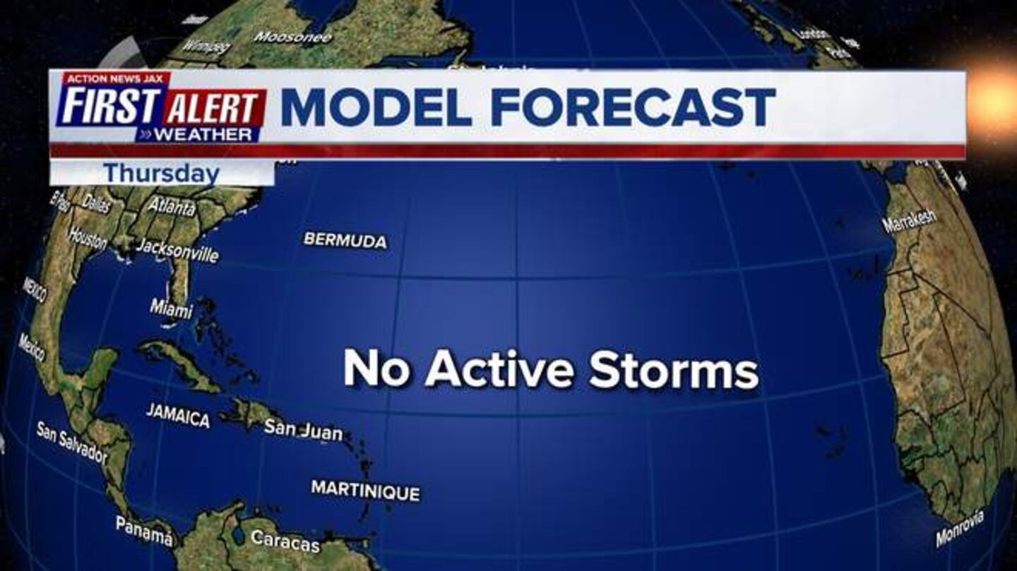
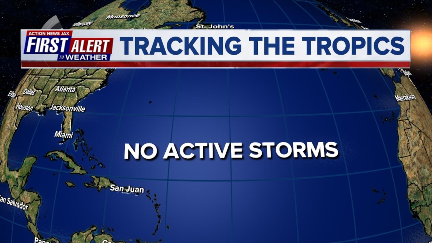
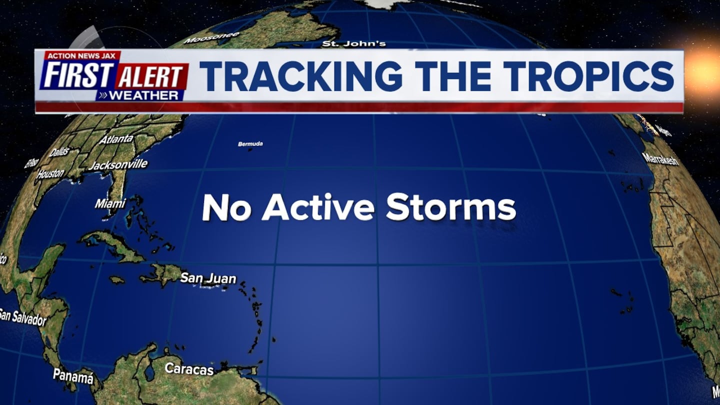
*** There are no tropical threats to Jacksonville/NE Fl. & SE Ga. or any of the coastal U.S. anytime soon. Rip currents will increase again at area beaches along with rough seas & surf due to distant tropical cyclones &/or persistent generally onshore flow.
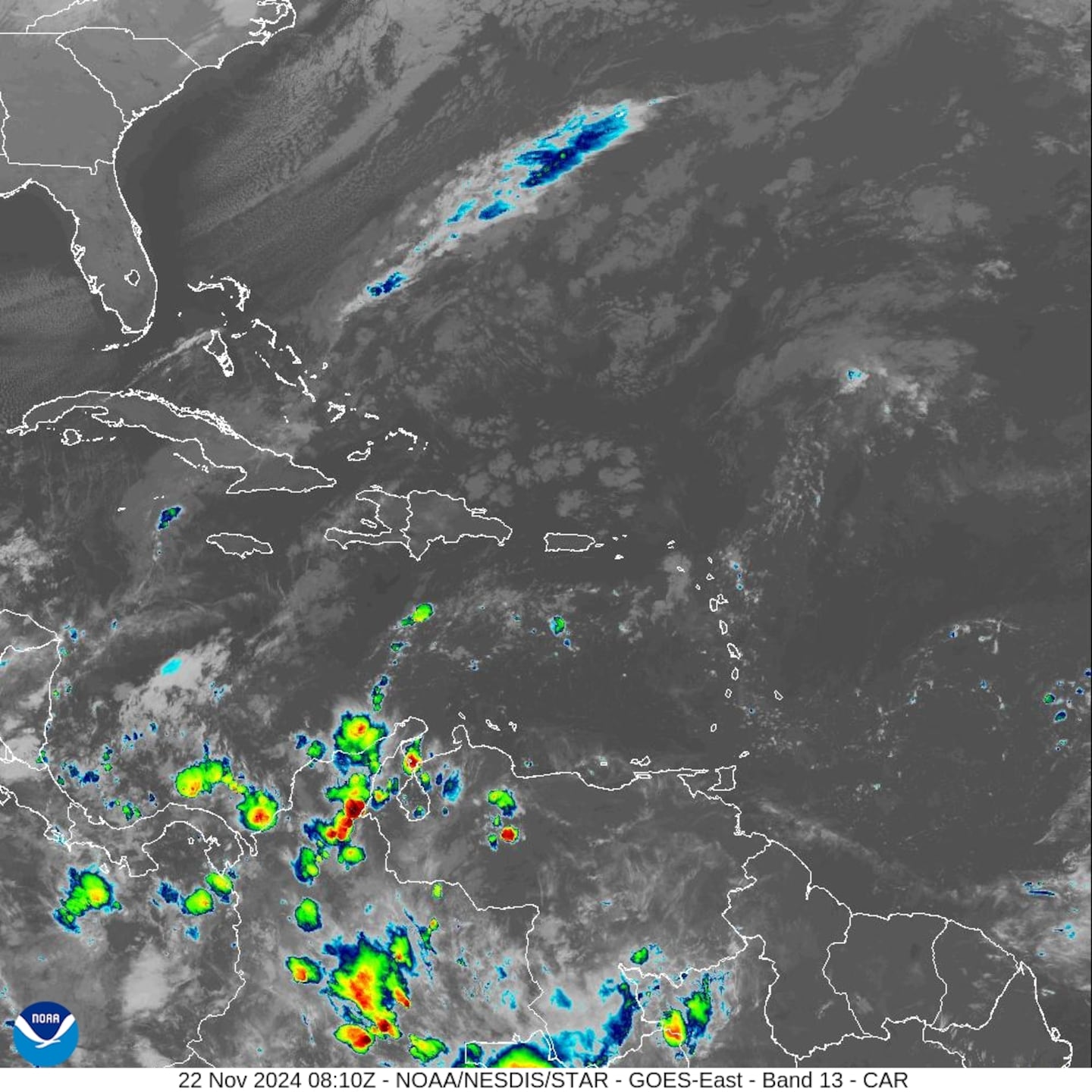
ATLANTIC BASIN:
(1) tropical storm Karen over the SW Atlantic
(2) Hurricane Lorenzo far E. Atlantic.
Lorenzo is certainly no problem for the U.S. Karen is slowing & will likely struggle to survive while turning gradually to the west/southwest.
KAREN:
Karen was upgraded early Sunday over the Eastern Caribbean & has been battling shear since its inception & should lose the battle over the weekend. Nearby dry mid & upper level air will also become an issue. An upper level low to the storm's west - near the Bahamas - has been helping to move Karen - for now - more northeast deeper into the Atlantic & farther to the east of the U.S. The upper low will weaken allowing Karen to gradually turn westward.
Conditions continue to look marginal - at best - & Karen could devolve into a depression or open wave at just about anytime.
On satellite imagery, Karen's circulation center is west of most of the deep convection indicating continued sheer & poor overall structural organization. Steering currents collapse over the weekend as high pressure builds to the north of Karen & a more shallow system will then be guided west or even a little southwest. Once the high is strong enough (& as Karen remains weak), Karen will begin a westward movement (possibly after a small loop) that may even become more southwest. By the early to middle part of next week, Karen will re-enter a very hostile wind environment. If Karen is still "a thing" at that point, it would seem this next area of high shear would finally be Karen's demise.
Virtually all the global forecast models are in agreement on the turn west followed by dissipation or at least becoming an open tropical wave (from which it was "born"). There should be few if any impacts on the Bahamas, Florida or any of the Southeast U.S. coast.
Spaghetti plots for Karen:

Ensemble plots for Karen:


HURRICANE LORENZO:
A large/impressive tropical wave came off the coast of Africa Sunday & was deemed t.d. #13.... then upgraded to tropical storm "Lorenzo" Mon. morning & to a hurricane early Wed. become a Cat. 4 Thu. - over the E. Atlantic. Sprawling Lorenzo - tropical storm force winds extend 250 miles from the center - will be an early turn to the north staying over the Eastern & Central Atlantic & has likely peaked in intensity. Lorenzo will gradually weaken over the next few days before a faster weakening trend over cooler water next week over the Northeast Atlantic.


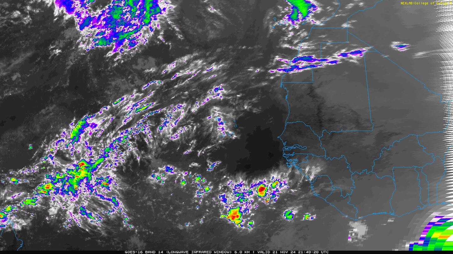
An examination of dust over the Atlantic shows generally less dust over the basin vs. past months which is fairly typical for September & the peak of the hurricane season. Much too much is made of the dust & tropical cyclones. It's not all uncommon for tropical waves to simply "wait out" the dry air & dust organizing once the wave is clear of the dry atmosphere.

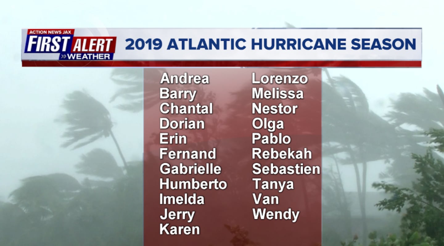
2019 names..... "Melissa" is next on the Atlantic list (names are picked at random... repeat every 6 years... historic storms are retired (Florence & Michael last year) & Dorian is almost certain to be next:
East Atlantic:


Mid & upper level wind shear (enemy of tropical cyclones) analysis (CIMMS). The red lines indicate strong shear of which there is plenty across the Atlantic at the moment:

The Atlantic Basin:

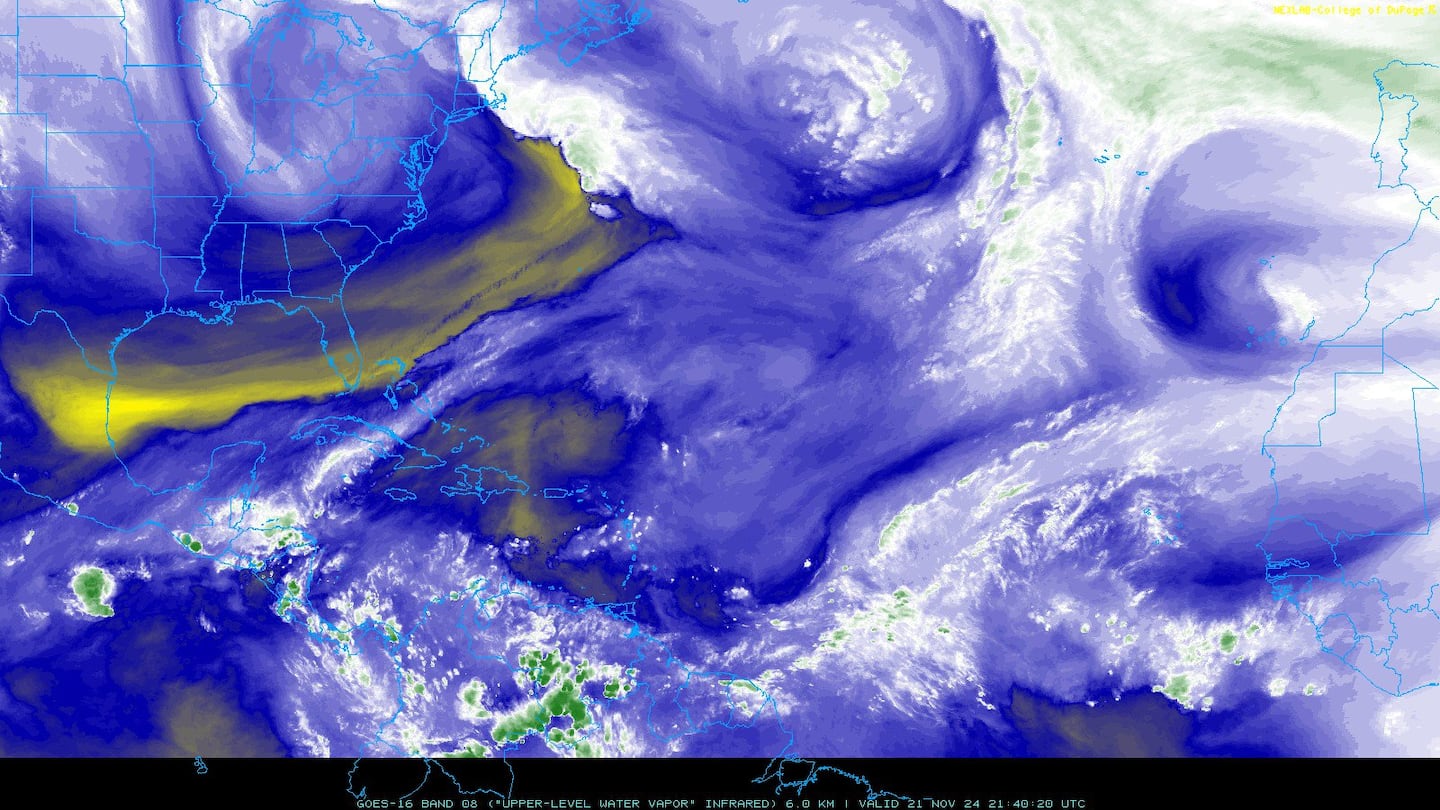
Water vapor imagery (dark blue indicates dry air):
Deep oceanic heat content:

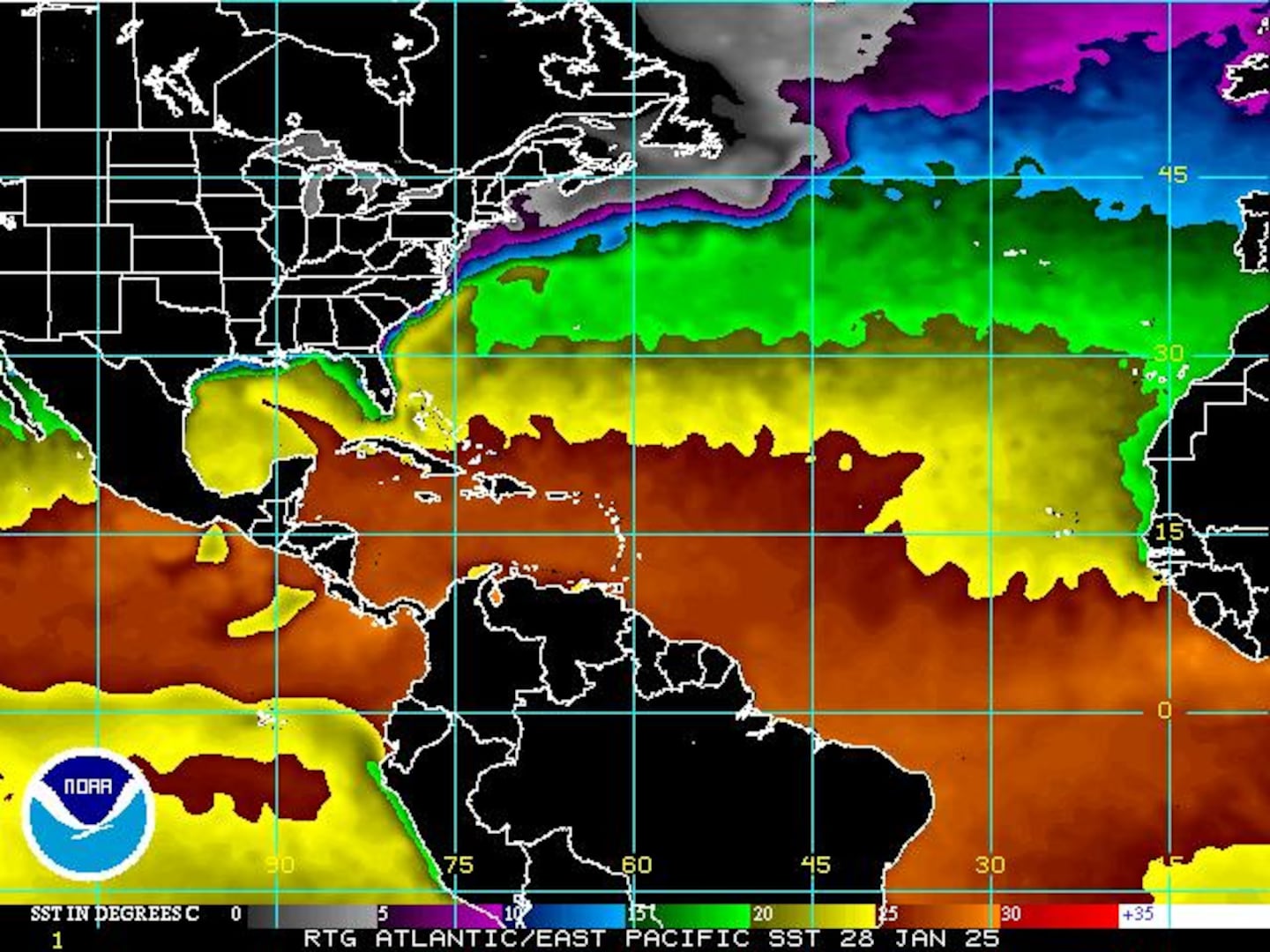
Sea surface temp. anomalies show a warm Gulf of Mexico, Central & Northwest Atlantic while the "Main Development Region" (MDR) remain cooler than avg. Note the leftover upwelling (cooler water) left behind Dorian near the Bahamas (though starting to "mix out"):

While the MDR is cooler than avg., it's important to realize the water is still warm enough to support tropical systems....
SE U.S. surface map:

Surface analysis centered on the tropical Atlantic:
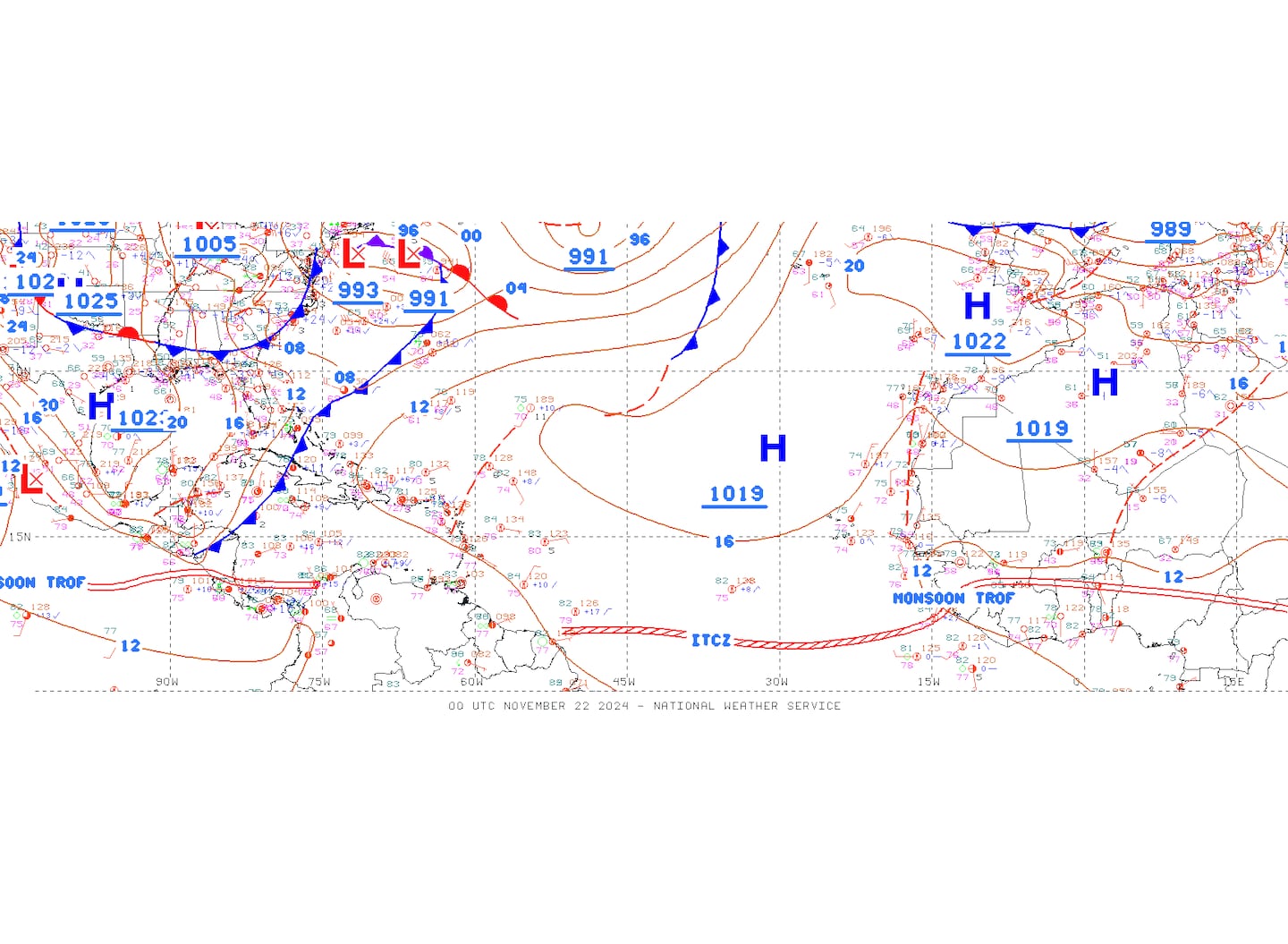
Surface analysis of the Gulf:

Caribbean:

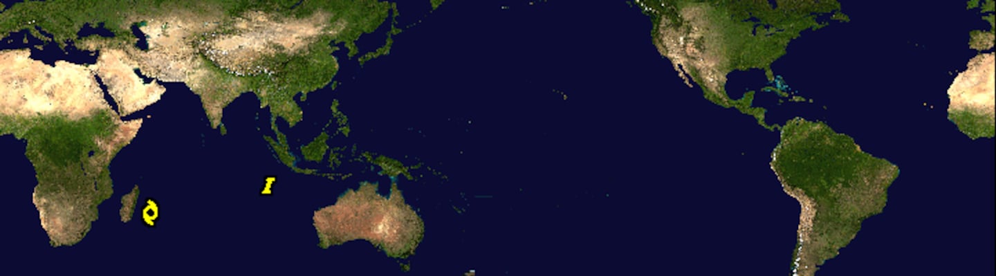
Global activity:
Cox Media Group