
Sept.1, 2019 — The "Buresh Bottom Line": Always be prepared!.....First Alert Hurricane Survival Guide... City of Jacksonville Preparedness Guide... Georgia Hurricane Guide.
STAY INFORMED: Get the * FREE * First Alert Weather app
FREE NEWS UPDATES, ALERTS: Action News Jax app for Apple | For Android
WATCH "Surviving the Storm"
READ the First Alert Hurricane Center "Survival Guide"
DORIAN:
Forecast WAS trending east but recently shifting gradually west..... FOLKS! - don't get hung up on individual forecasts, model runs & bad info. Stay calm but with a logical dose of preparation & understand there WILL BE changes in the forecast in the days ahead. Do not fixate too much on the exact center as impacts will occur far away from the eye. Hurricane preps are important & will help you before & especially during & after any storm. It's looking like the most significant impacts will be coastal vs. inland - the magnitude of which will be very dependent on the exact location of Dorian in relation to the coast..... & the hurricane's intensity once to near Jacksonville.

*** Everyone in the Bahamas & the Southeast U.S. should prepare for a slow moving & powerful hurricane in the coming days. Strong coastal impacts but at least some inland impacts as well ***

There will still be some more adjustments to the track but POSSIBLE Jacksonville/NE Fl./SE Ga. impacts (primarily late Tue. & especially Wed./Thu.) & very dependent on exact location, movement & intensity of Dorian:
* increasing & potentially deadly rip current risk at area beaches (through Labor Day [despite no direct Dorian impacts yet] due to steady onshore flow & an increasing swell from distant Dorian). Always swim & surf with a "buddy" & as near a lifeguard as possible. Rips will become severe next week. Rip current explainer & safety info * here *.
* rough seas & surf... some coastal flooding (accentuated by new moon phase into the weekend in addition to occasional heavy rain) + above avg. tides at the coast, St. Johns River & its tributaries.
* breezy winds out of the east/southeast 10-20 mph, higher gusts through Monday.... peak wind gusts could reach 50+ mph midweek depending on positioning & strength of Dorian.
* several periods of heavy showers & t'storms, but it's not looking like a "washout" for the weekend.. All this water including the higher than avg. tides & onshore flow could make for some serious flooding in some areas - especially at the coast & some parts of the St. Johns River - later in the week.
* isolated fast-moving tornadoes/waterspouts
Dorian went through a classic rapid intensification (RI) cycle from about mid afternoon Fri. into early Sat. as the central pressure dropped more than 40 mb & winds increased by some 60+ mph. Tropical storm force winds extend about 105 miles from the center & hurricane force winds out to about 30 miles from the center as the wind field gradually expands. Realize that wind field is not a perfect circle around the eye & that the widest field of strongest winds are to the east of the eye - especially true when closer to land. Dorian will continue to flourish in a favorable environment for as the Cat. 5 rolls through the Northwest Bahamas. The Bahamian Islands likely to suffer the most severe hit will be Grand Bahama including Freeport & Great Abaco - the first Cat. 5 hit ever on the Abaco Islands - while the Central & especially Southern Bahamas will fare far better. A very close call for Nassau, but the most severe part of Dorian looks to stay just north. We do need to be vigilant of a turn southwest for a while into Sunday evening before slowing & turning west then northwest then north.
According to Dr. Klotzbach, CSU hurricane researcher, this would be only the 2nd Cat. 5 hit on any of the Bahamas since 1985 (Andrew, 1992) & is the 27th Cat. 5 in the Atlantic Basin since 1950. Since 2016, there has been a relative "slew" of Cat. 5's: Matthew in 2016, Irma in 2017, Maria in 2017, Michael last year & now Dorian. Only Michael made a landfall (Fl. Panhandle) as a Cat. 5.

As for movement.... Forecast models have started to key on a sharp turn to the north near Florida that COULD spare Florida a direct hit with the eye staying offshore. However, after a huge swing to the east Fri. night/early Sat. (something - big swings or hiccups as I like to call it - I frequently bemoan when the first recon & additional sounding data is ingested by the models), there has been a slow adjustment back to the west(!). One element that still concerns me is that virtually all the models are not intializing Dorian strongly enough though seem to be slowly catching on now.
In any case.... The positioning AND western edge of a significant upper level ridge of high pressure - Bermuda high - across the Central Atlantic continues to be a key factor in the future movement. The upper level high is acting like a brick wall stopping northward movement & turning Dorian westward. We may see a bit of a southwest "dip" through the Bahamas as the tropical cyclone "machine" slows & readies for the turn northwest. The European model has become consistent with a strong Dorian now just off the Florida coast Tuesday-Wed. moving north just to the east of Jacksonville Wed. afternoon. The GFS model has Dorian a littler farther east of Jax - but still pretty close - by mid Wed. afternoon but generally as weaker - though still significant - tropical cyclone. The UKMET model has been showing a similar trend as the European (but did not do particularly well w/ "Erin" - too strong, too far west) but has been lacking consistency, especially on intensity. In fact, the darn thing has been all over the map on Dorian. It's not wise to jump on a single model run or even a single model. And there will continue to be changes & updates. And it's worth noting the ensemble model members still do not necessarily take Florida out of landfall. The conditions over the SW Atlantic & near the Bahamas are favorable for strengthening but future eyewall replacement cycles & some upwelling eventually as Dorian slows will cause at least periods of some weakening not to mention proximity to Florida by Tue. or so.
An exiting trough over the Northwest Atlantic the past few days (helped to steer Erin N/NE) was not strong enough to pick up Dorian. Instead, high pressure is building in place of & south of the exiting trough turning Dorian back more to the west & northwest & possibly even a little southwest (during peak of intense phase & while slowing to make the turn) through the Bahamas. In the long term, Dorian's intensity will be modulated by structural changes & nuances including likely eyewall replacement cycles. Once west of the Bahamas & near Florida, Dorian should be off its peak intensity & feeling the effects of friction from land + possibly some upwelling (cooling) of the ocean below the hurricane but is likely to remain a powerful major hurricane until & unless the eye is very near or over land.
So.... the bottom line is stay up to date on the latest forecasts for the Bahamas, Fl. & Southeast U.S. The Northern Bahamas are suffering a severe hit from Dorian while Florida will be faced with at least a menacing hurricane close to the coast as the inland Fl. threat seems to be decreasing a bit.... while the threat to the Carolina's has increased. There will be changes in the forecast & impacts in the days ahead! Don't be so foolish as to look at a forecast one day & not return for an update whether it's 1, 3 or 5+ days later. Thank you. :)

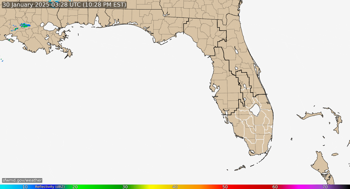
Radar imagery courtesy S. Fl. Water Management District:
The chart below is at 500 mb (~30,000 feet) & shows that ever so critical Bermuda high - its positioning & strength. Hurricanes follow the path of least resistance. That part really is rather simple. The difficult part is determining that path much beyond a few days.... especially right now with the way our weather pattern is set up (sometimes it's more straight forward). Besides the strength of the acutal Bermuda high (& there are some indications that models have been underplaying that strength so turning north too soon + history of intense hurricanes shows a slower turn north vs. sooner), there are also two tropical disturbances - one to the east & one to the west - that might be helping to strengthen the ridge some & to help induce some SW movement into Sun. night. So I think we have to be wary of a slower (later) turn north than the models are indicating.

Realize the cone of uncertainty covers most Jacksonville & most of NE Fl./SE Ga. in addition to the entire east coast & I-95 corridor of Florida:

Spaghetti model plots (remarkable shift east in 24 hours!) for Dorian:

Ensemble (An ensemble weather forecast is a set of forecasts that present the range of future weather possibilities) spaghetti plots: (for an in-depth look on ensemble modeling see * this * [Blake/Brennan, NHC])

The busy map below (courtesy CIMSS & the next 2 charts are from a couple days ago BUT still help explain the story) helps explains some of what's going on & what's ahead for Dorian. The lines are shear vectors. Brighter lines - yellow & red - stronger shear & the enemy of tropical cyclones. The upper level trough is just west of Dorian helping to nudge Dorian more northwest vs. west. This feature is dropping W/SW (& may help with some tropical development over the Gulf). When combined with building Bermuda high to the north, Dorian "straightens out"... moves more west.
The solid colors are sea surface temps. show plenty of warm water along Dorian's projected path - 80s & even around 90 degrees near the Bahamas.

But it's not just the sea surface temps. when it comes to the intensity of Dorian, it's also - arguably more importantly - the depth of the available warm water - deep oceanic heat content. Image below shows there's plenty of such energy ready to "feed" Dorian, especially closer to the Bahamas & coastal Fl. (partly the Gulf Stream). The deep oceanic heat content is far less right along the upper Fl. coast but is significant offshore with the Gulf Stream.

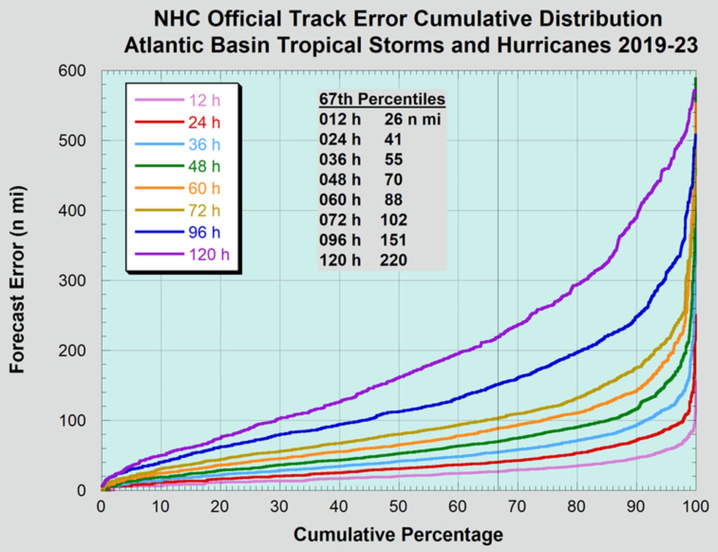
And remember what that "cone of concern or uncertainty" means & does not mean. That cone has everything with the historic track error ranging from the moment the forecast was issued all the way out to 5 days when the avg. error is nearly 200 miles!

National Hurricane Center average track error starting with 12 hours & ending at the 120 hour forecast from 2014-'18:
IR satellite:

Integrated Microwave imager courtesy CIMSS: ("beautiful" & detailed evolution of Dorian)

What to do now in addition to making sure ready for possible power outages & some tree trimming:

Dr. Phil Klotzbach - September landfalling hurricanes:

AND a couple of strong waves over the Central & E. Atlantic have at least some potential for gradual development. The Central Atlantic wave should stay far out to sea east of Dorian while a "follower" over the E. Atlantic might have a shot at getting farther west.


An examination of dust over the Central & Eastern Atlantic shows a continuation of a good deal of dust over the Central & Eastern Atlantic as well as parts of the Caribbean. Dorian is now clearly free of the dust plumes.

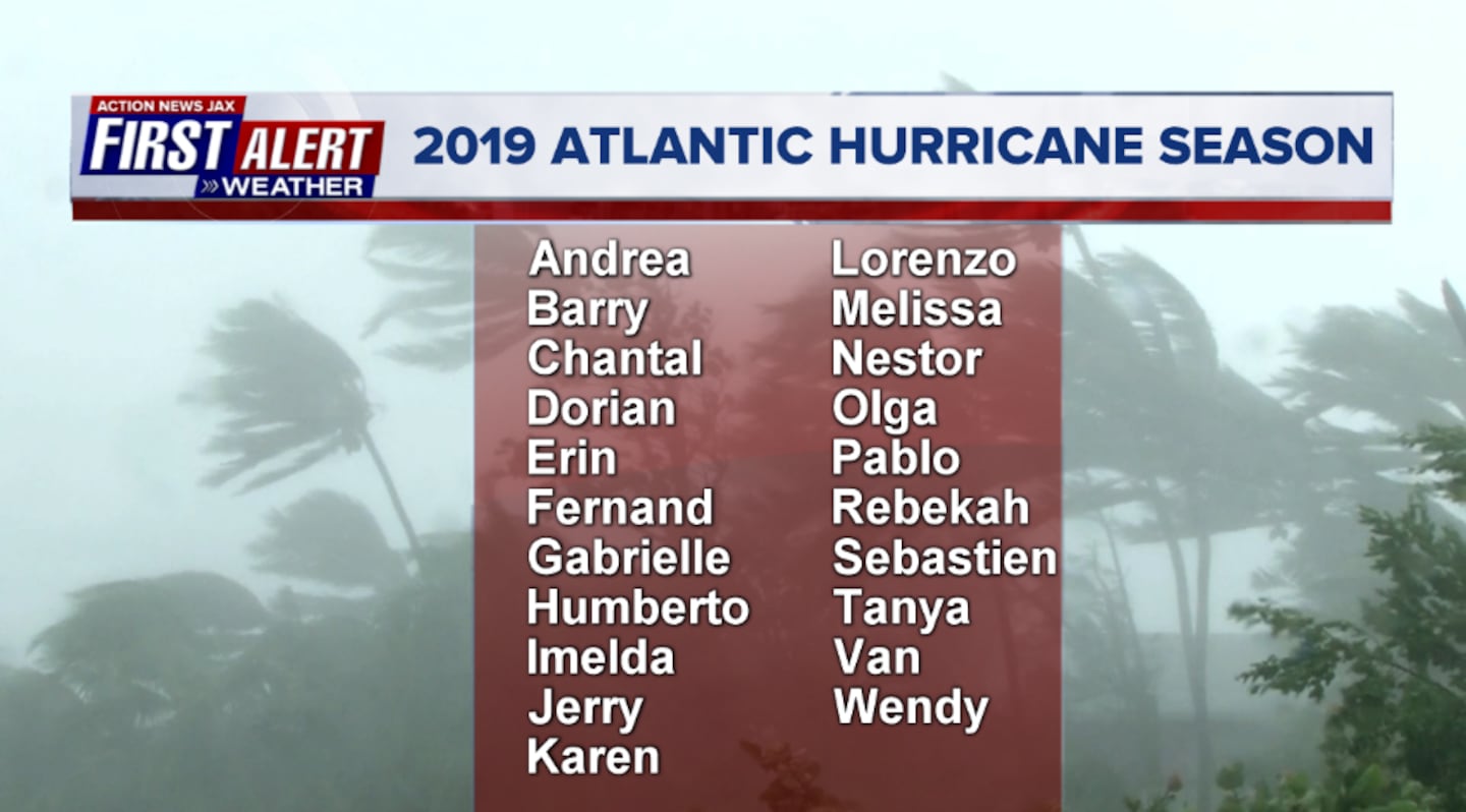
2019 names..... "Fernand" is next on the Atlantic list (names are picked at random... repeat every 6 years... historic storms are retired (Florence & Michael last year):
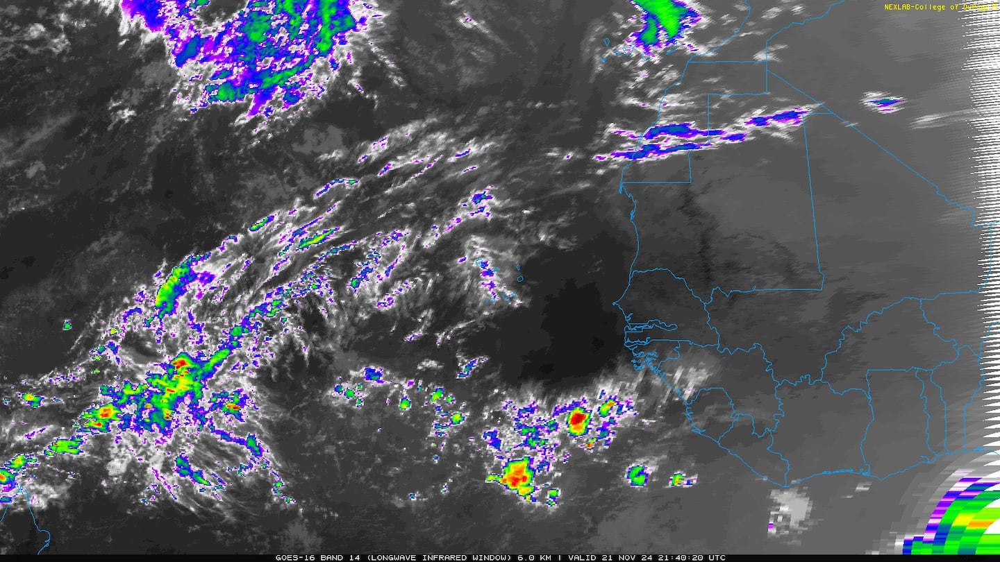
East Atlantic:


Mid & upper level wind shear (enemy of tropical cyclones) analysis (CIMMS). The red lines indicate strong shear of which there is plenty across the Atlantic at the moment:

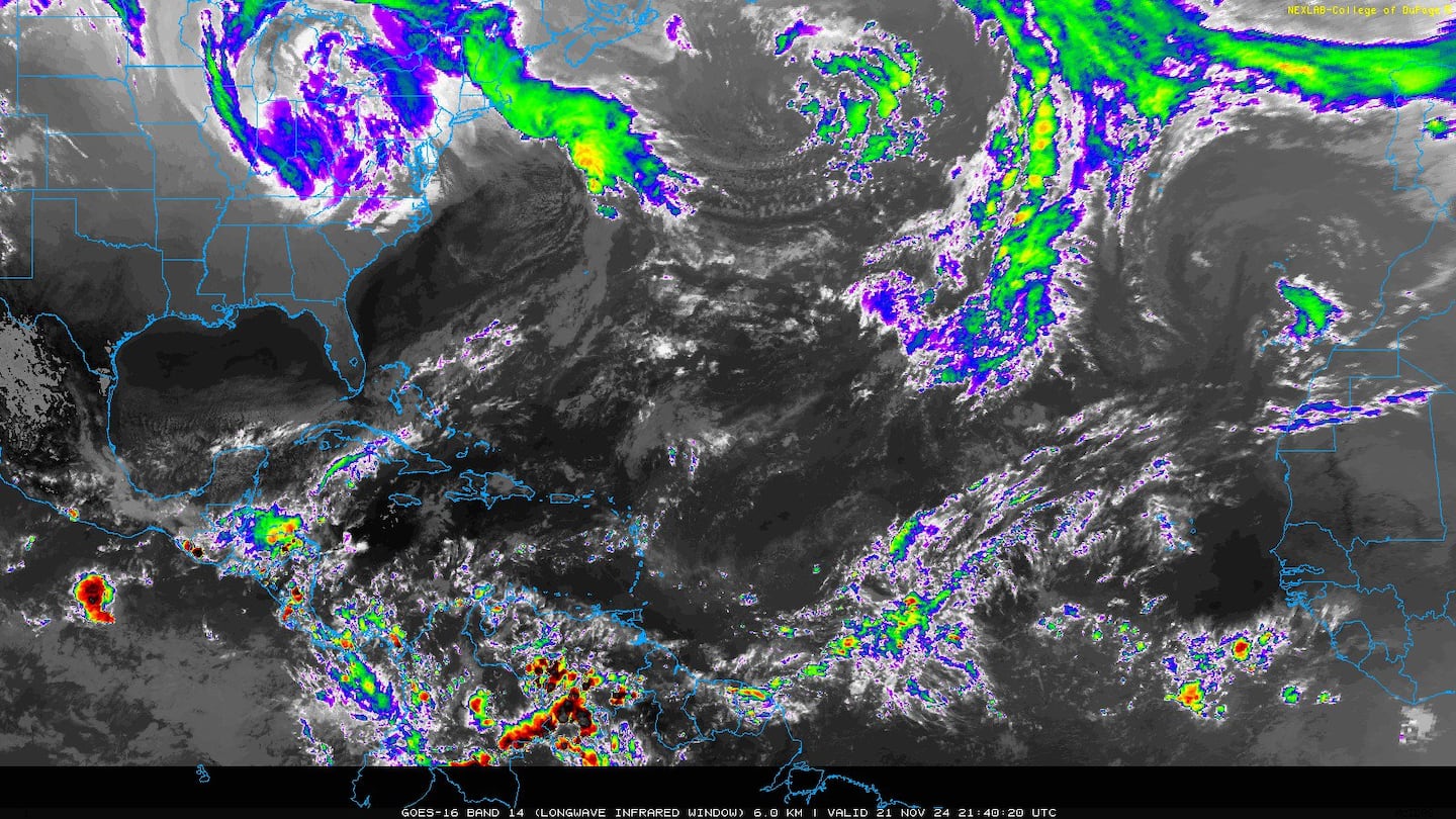
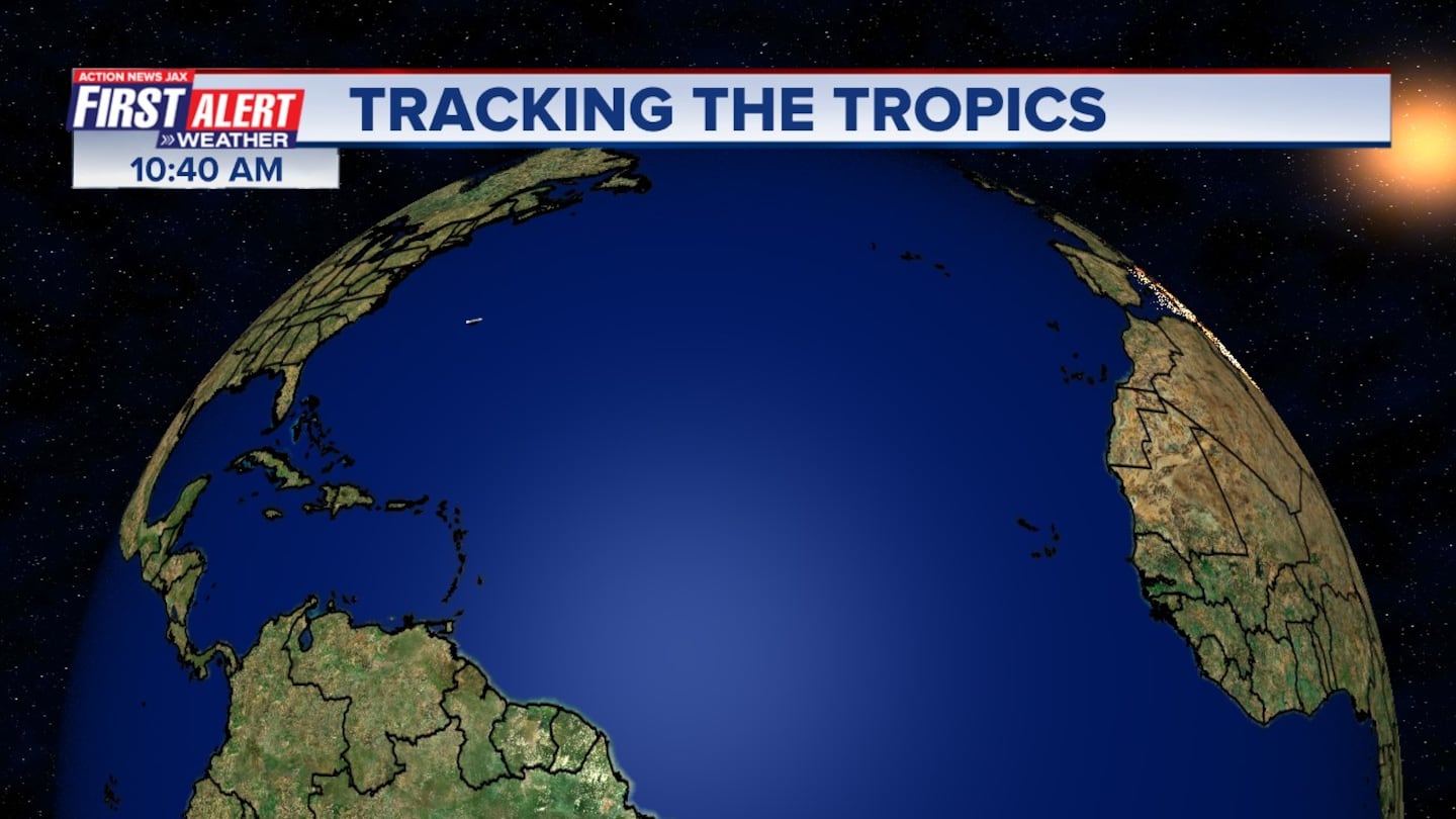
The Atlantic Basin:

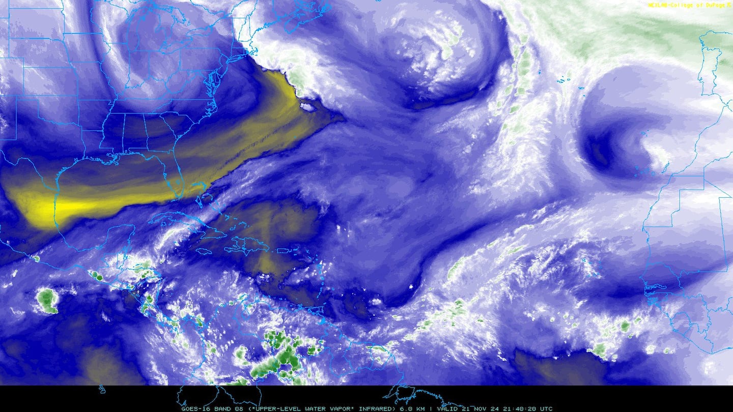
Water vapor imagery (dark blue indicates dry air):
Deep oceanic heat content:

Sea surface temp. anomalies show a warm Gulf of Mexico, Central & Northwest Atlantic while the "Main Development Region" (MDR) remain cooler than avg. along with parts of the Central Caribbean.....

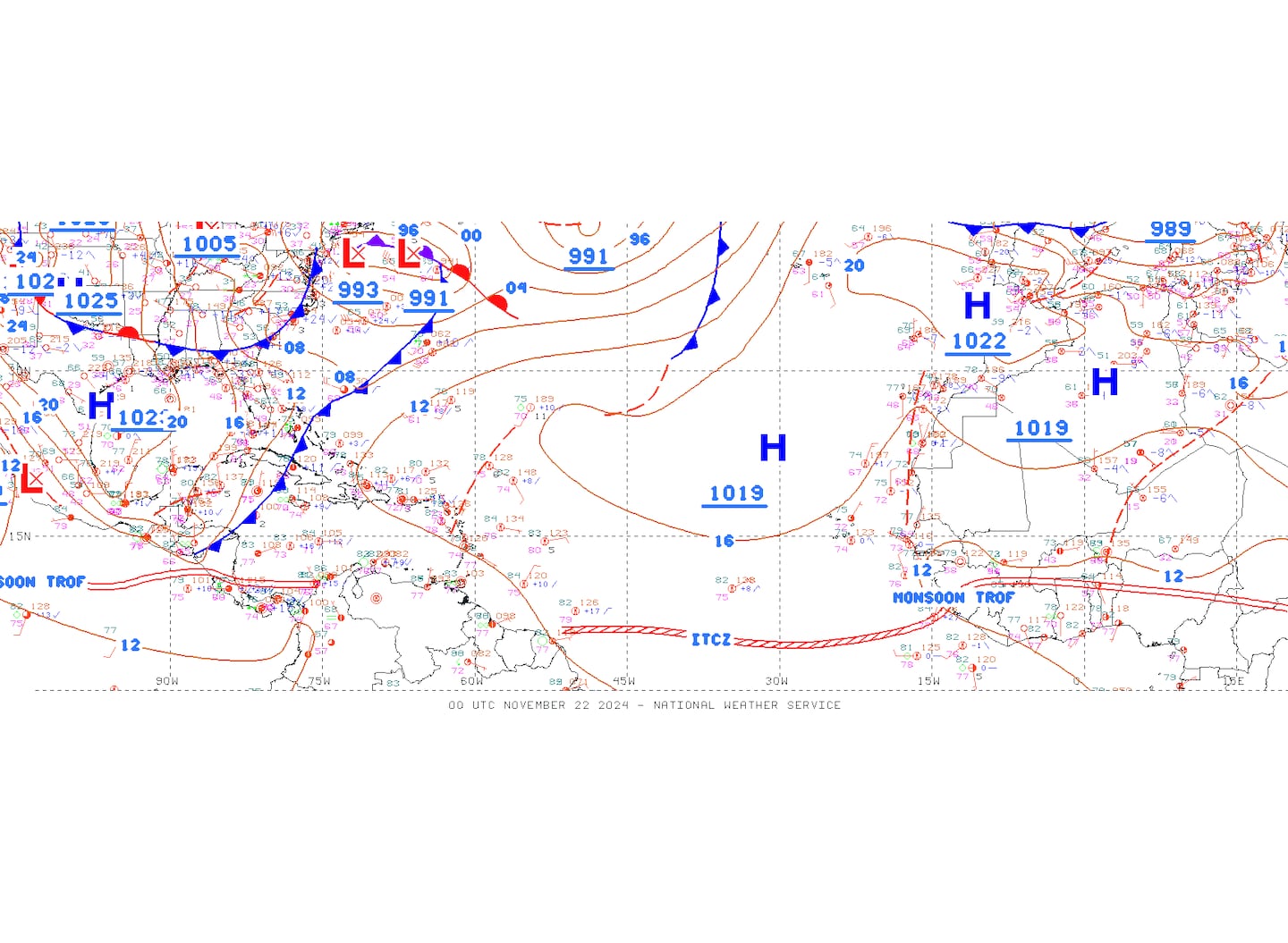
SE U.S. surface map:

Surface analysis centered on the tropical Atlantic:
Surface analysis of the Gulf:

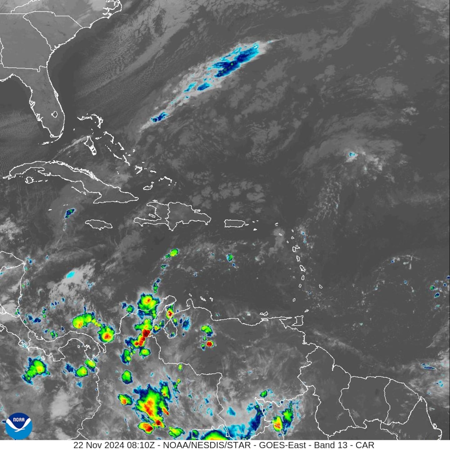
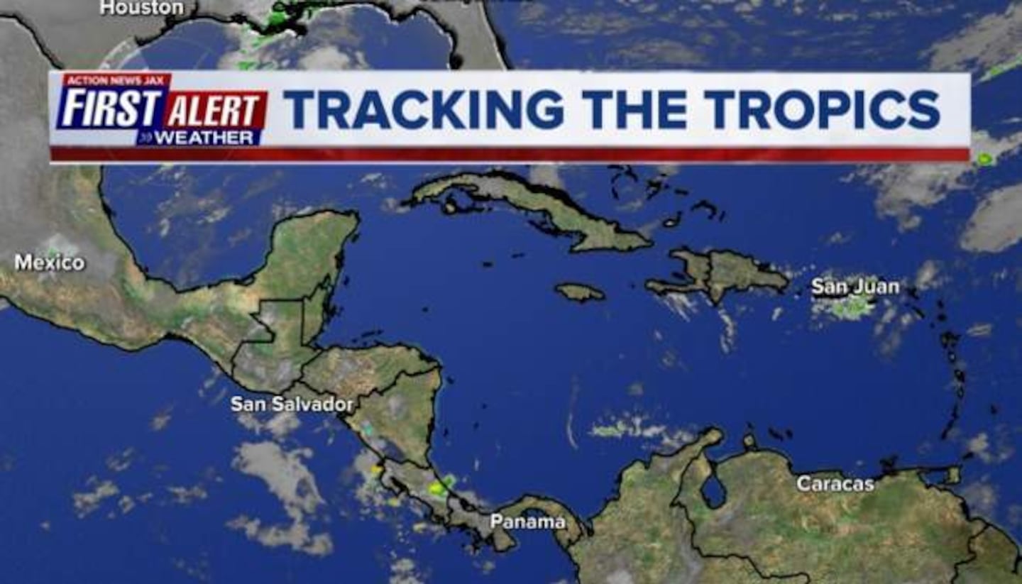
Caribbean:

Cox Media Group


