
July 28, 2019 — The "Buresh Bottom Line": Always be prepared!.....First Alert Hurricane Survival Guide... City of Jacksonville Preparedness Guide... Georgia Hurricane Guide.
STAY INFORMED: Get the * FREE * First Alert Weather app
FREE NEWS UPDATES, ALERTS: Action News Jax app for Apple | For Android
WATCH "Surviving the Storm"
READ the First Alert Hurricane Center "Survival Guide"
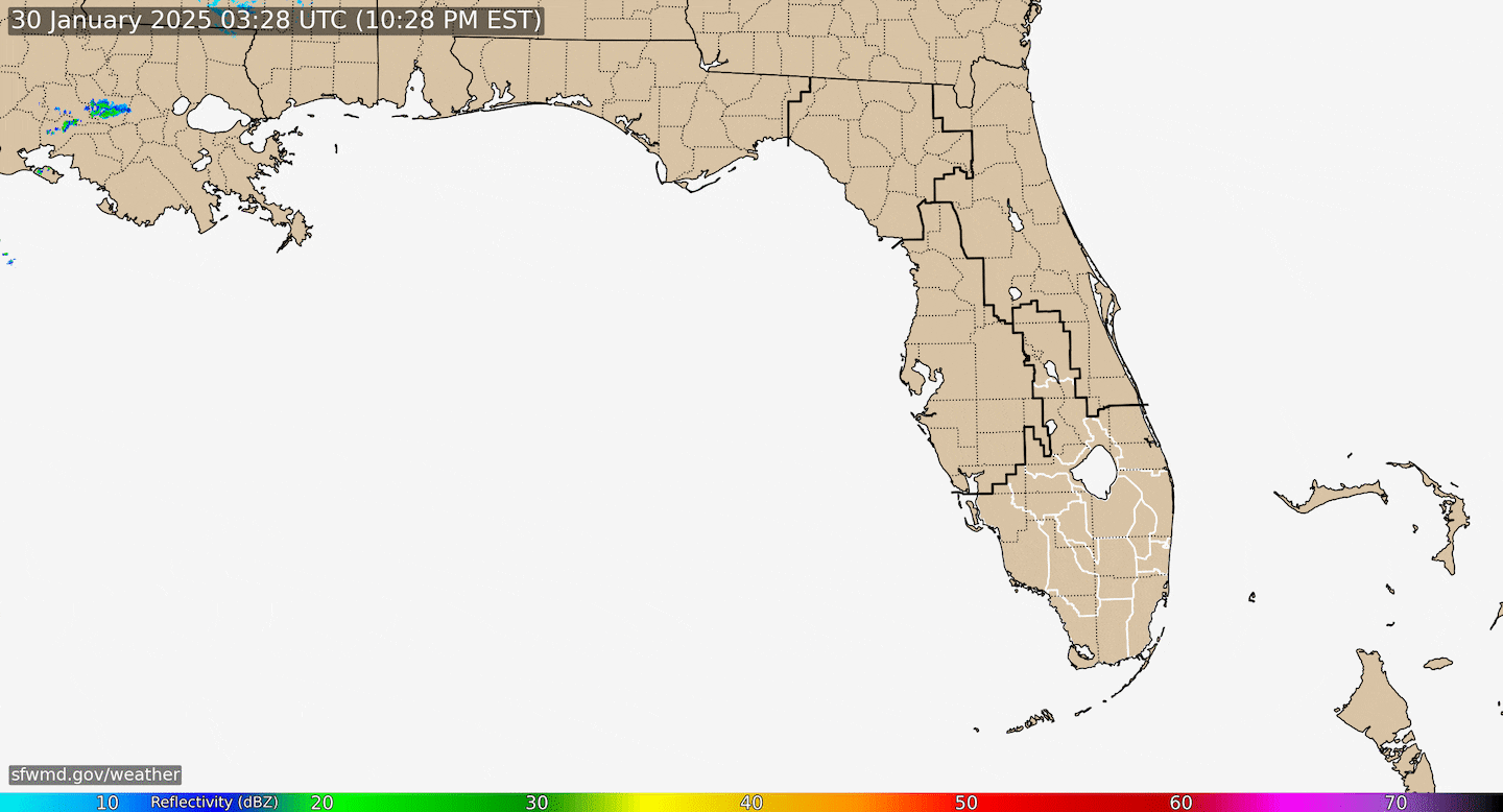
A weakening front remains stalled from the W. Atlantic across Fl. into the Gulf of Mexico. While clusters of showers & t'storms are developing randomly, nothing organized is evident or expected.


Radar imagery courtesy South Florida Water Management District:
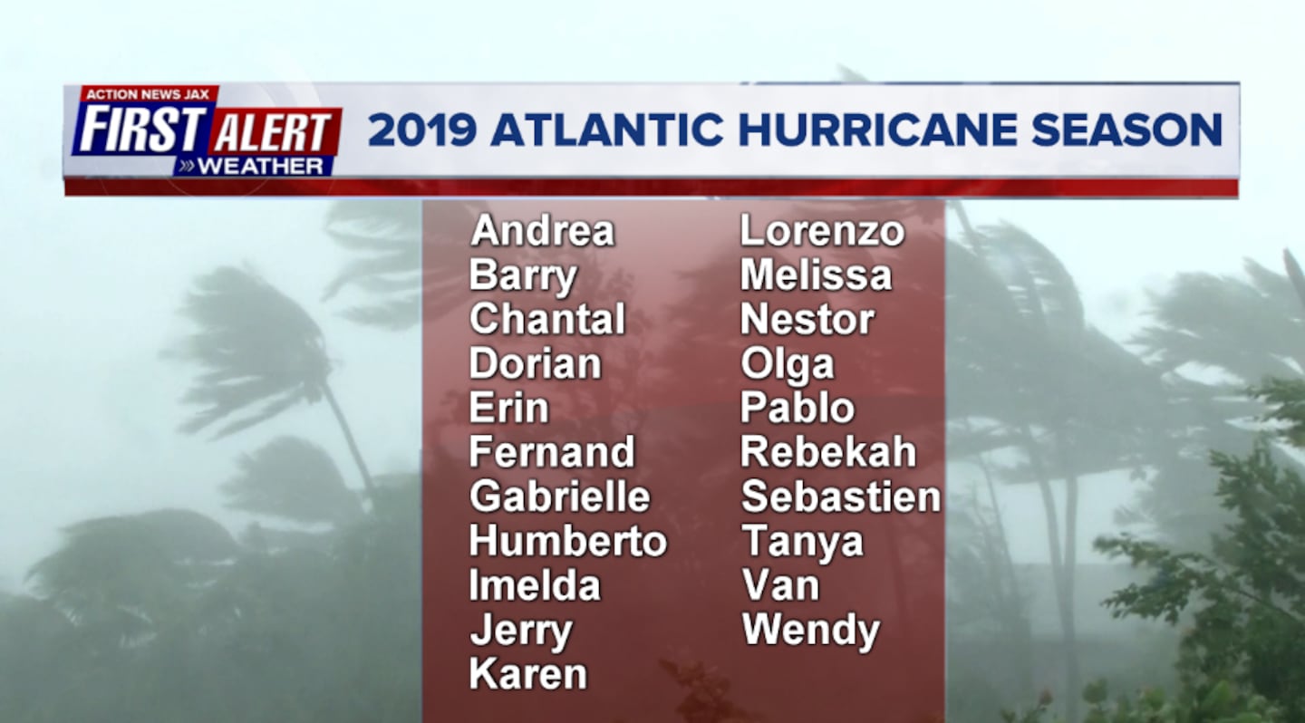
2019 names..... "Chantal" is next on the Atlantic list (names are picked at random... repeat every 6 years... historic storms are retired (Florence & Michael last year):
A pulse of "vertical velocities" (green lines) has spread east from the Pacific into the Atlantic. This correlates with rising air which can be favorable for tropical development IF all other things are equal. That being said... there is quite a bit of shear over the Atlantic Basin at the moment. But this pulse might help trigger attempts at tropical development over the Atlantic over the next week or two.

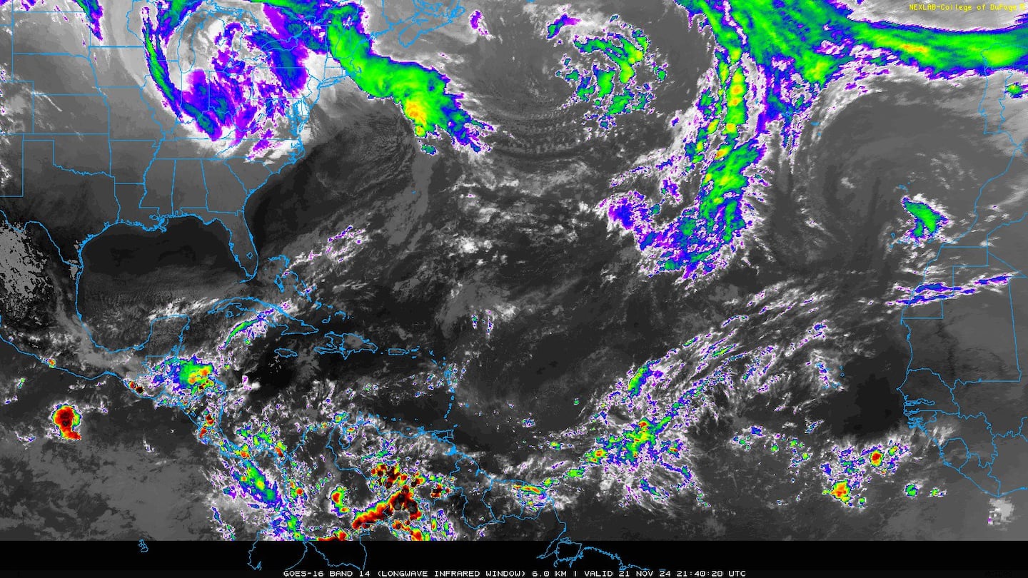
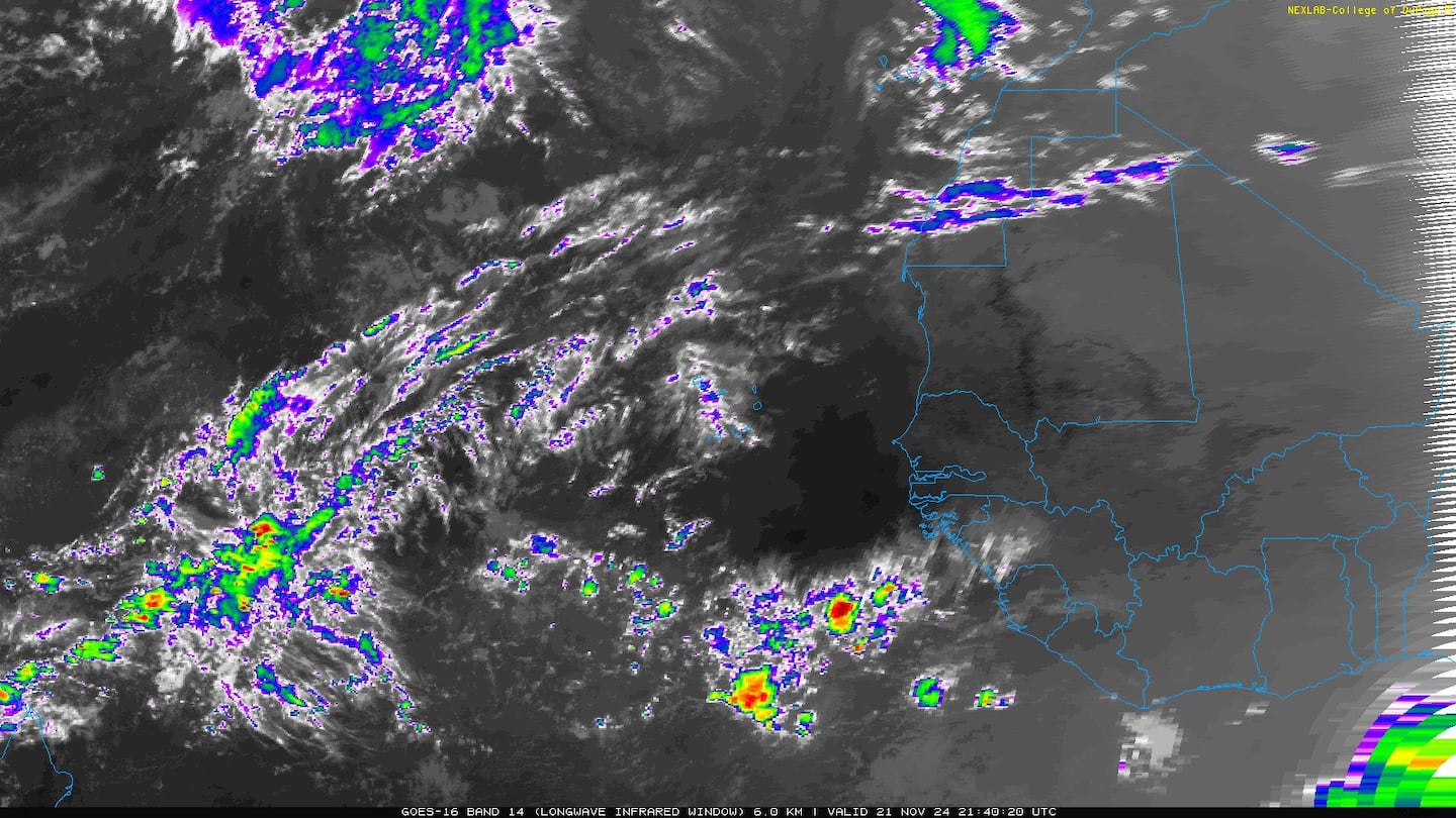
Atlantic Basin - several tropical waves moving west off the coast of Africa. A tropical wave has entered the Caribbean but is undergoing strong shear so no development is likely.
* There are some indications that there may be some development later this week into the following week east of Fl. over the SW Atlantic as an African wave moves into a more favorable environment.
* There is also a strong nontropical low over the N. Atlantic that will stay over the open N. Atlantic while acclerating E/NE:

East Atlantic:

0
1
Mid & upper level wind shear (enemy of tropical cyclones) analysis (CIMMS). The red lines indicate strong shear of which there is plenty across the Atlantic at the moment:

The Atlantic Basin:

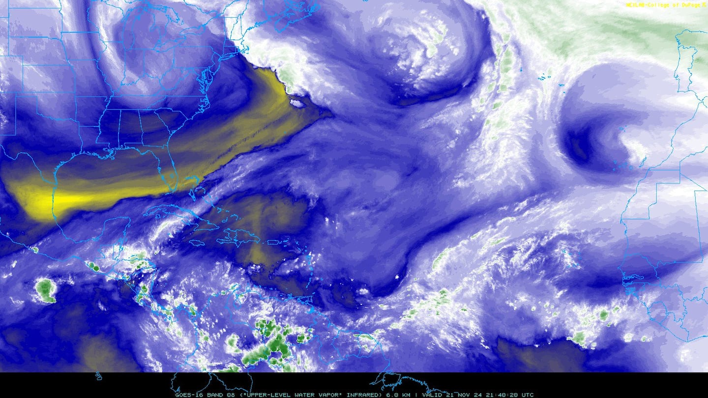
Water vapor imagery (dark blue indicates dry air):
Deep oceanic heat content:

Sea surface temp. anomalies show some "cool" water remaining over the E. Atlantic but avg. to above avg. temps. for much of the rest of the Atlantic Basin.....

SE U.S. surface map:

Surface analysis centered on the tropical Atlantic:

Surface analysis of the Gulf:

Caribbean:
0
The East Pacific is again active. "Erick" will be south of Hawaii by late week & likely weakening after reaching hurricane strength over the next few days.
1
2
Another disturbance follows Erick & will likely become "Flossie". This disturbance could end up close to Hawaii next week.
3
Cox Media Group


