
Sept. 25, 2019 — The "Buresh Bottom Line": Always be prepared!.....First Alert Hurricane Survival Guide... City of Jacksonville Preparedness Guide... Georgia Hurricane Guide.
STAY INFORMED: Get the * FREE * First Alert Weather app
FREE NEWS UPDATES, ALERTS: Action News Jax app for Apple | For Android
WATCH "Surviving the Storm"
READ the First Alert Hurricane Center "Survival Guide"
RECAP "Hurricane Dorian: A True Tropical Beast"
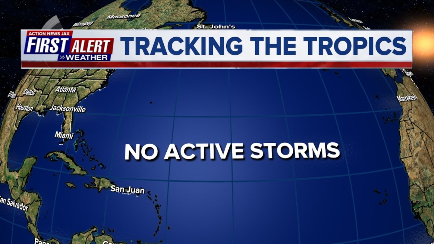
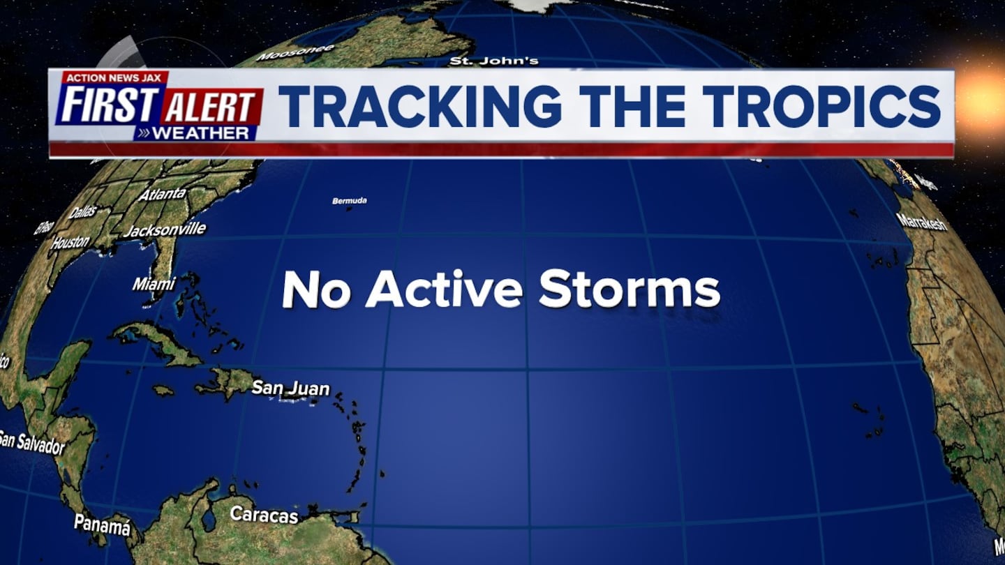
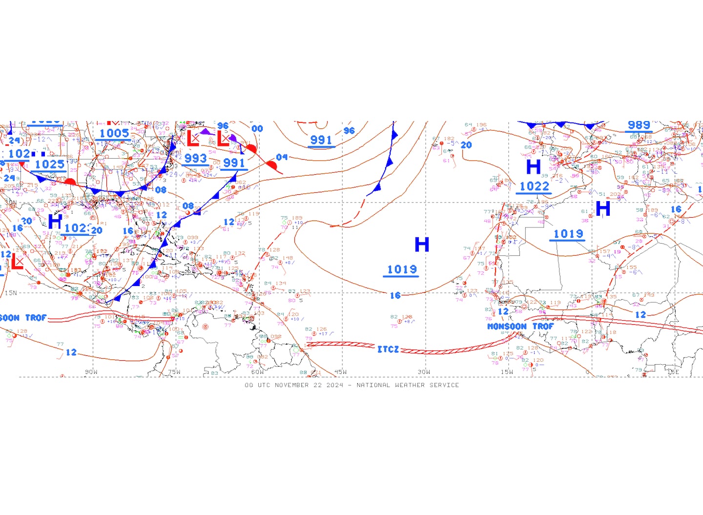
*** Though the Atlantic remains active, there are no immediate threats to Jacksonville/NE Fl. & SE Ga. or any of the coastal U.S. Dangerous rip currents will continue at area beaches along with rough seas & surf due to a combination of distant tropical cyclones & persistent generally onshore flow.
ATLANTIC BASIN:
(1) Jerry near Bermuda
(2) tropical storm Karen north of Puerto Rico & into the SW Atlantic
(3) Hurricane Lorenzo far E. Atlantic.
Jerry & Lorenzo are certainly no problem for the U.S. Karen will slow & likely struggle while turning gradually to the west/southwest.
JERRY:
T.D. #10 formed from an African tropical wave & was upgraded to a depression Tue. morning & the 10th tropical storm of the season early Wed. & then to a hurricane Thu. morning while moving steadily west/northwest. Shear & dry air has since taken a toll on Jerry with the storm deemed post-tropical early Wed. Winds are still up to tropical storm force so a tropical storm WARNING will remain in effect for Bermuda until the storm is east of the island Thursday. Otherwise, Jerry will continue to weaken & eventually dissipate over the Central Atlantic.

The low level circulation of Jerry remains strong but appears more subtropical vs. purely tropical with the center far removed from the strong convection thanks to persistent strong shear.

TROPICAL STORM KAREN:
Tropical storm Karen was upgraded early Sunday over the Eastern Caribbean. Tropical storm WARNINGS have been discontinued for Puerto Rico & the U.S. Virgin Islands as the storm moves north of the islands & into the SW Atlantic. Karen has been battling shear since its inception & the next few days will be no different. Nearby dry mid & upper level air may also become an issue.

Lots to consider regarding Karen & its future. Conditions continue to look marginal - at best - especially in the longer term. If Karen can survive shear becomes far less by the weekend into early next week with some very warm ocean water. The center will probably jump around some as the system continues to try to organize & develop in the short term (this has already been evident since Tue). Steering currents collapse later this week as high pressure builds to the north of Karen effectively trapping the storm over the SW Atlantic. Once the high is strong enough, Karen will begin a westward movement (possibly after a small loop) that will become more southwest over the weekend. The European model has continued west & slower but is now not as strong. The GFS model is also west & rather weak. The UKMET model has Karen turning west as well as generally a weak tropical cyclone. The UKMET has not had a great season so far this year. Models are now showing another stall once in/near the Bahamas &/or Florida next week.
Given the poorly established steering influences in the coming days, forecasts are likely to change & jump around quite a bit. It will be a while before the models have any kind of true handle on the situation. So the moral of the story is: be prepared for changes. Which seems logical, but I'm constantly reminded that logical doesn't always work/mean people will understand.
Heads up! - Caribbean Islands, Bahamas, Gulf of Mexico & possibly eventually the U.S. in the longer range.
Spaghetti plots for Karen:

Ensemble plots for Karen:

HURRICANE LORENZO:
A large/impressive tropical wave came off the coast of Africa Sunday & was deemed t.d. #13.... then upgraded to tropical storm "Lorenzo" Mon. morning & to a hurricane early Wed. - over the E. Atlantic. All indications are that sprawling Lorenzo will be an early turn to the north staying over the Eastern & Central Atlantic as the tropical cyclone becomes a significant, major (Cat. 3+) hurricane over open water.


An examination of dust over the Atlantic shows generally less dust over the basin vs. past months which is fairly typical for September & the peak of the hurricane season. Much too much is made of the dust & tropical cyclones. It's not all uncommon for tropical waves to simply "wait out" the dry air & dust organizing once the wave is clear of the dry atmosphere.

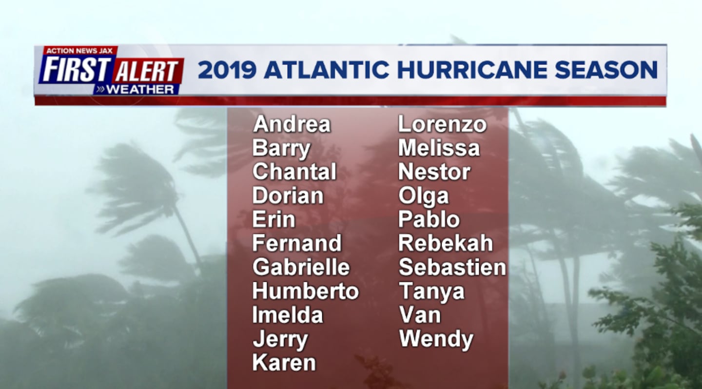
2019 names..... "Melissa" is next on the Atlantic list (names are picked at random... repeat every 6 years... historic storms are retired (Florence & Michael last year) & Dorian is almost certain to be next:
East Atlantic:


There is a weak disturbance near the Yucatan Peninsula moving west with some potential for some develoment before moving into Mexico late in the week.

Mid & upper level wind shear (enemy of tropical cyclones) analysis (CIMMS). The red lines indicate strong shear of which there is plenty across the Atlantic at the moment:

The Atlantic Basin:

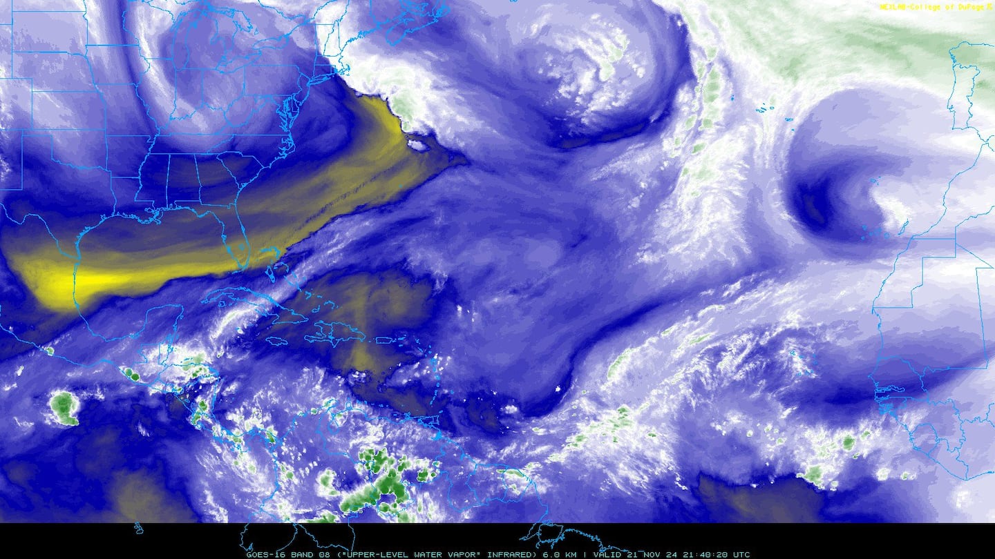
Water vapor imagery (dark blue indicates dry air):
Deep oceanic heat content:

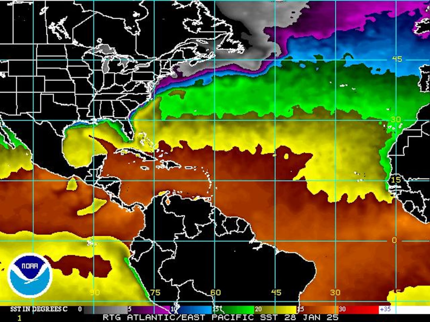
Sea surface temp. anomalies show a warm Gulf of Mexico, Central & Northwest Atlantic while the "Main Development Region" (MDR) remain cooler than avg. Note the leftover upwelling (cooler water) left behind Dorian near the Bahamas (though starting to "mix out"):

While the MDR is cooler than avg., it's important to realize the water is still warm enough to support tropical systems....
SE U.S. surface map:

Surface analysis centered on the tropical Atlantic:
Surface analysis of the Gulf:

Caribbean:

You will see me fairly often refer to the "Velocity Potential Anomalies" - usually in stride with the Madden-Julian Oscillation (MJO). In simplest terms, the green lines correlate with rising air which can help lead to conditions favorable for tropical cyclone development. And such is the case as a very strong "pulse" of rising air spread from the Pacific into the Atlantic Basin. & right on cue - a number of named storms have popped over both basins the past couple weeks. This pattern of the MJO implies an active period over the Atlantic that may very well continue into the first 10 days of Oct. Realize active does not necessarily mean "bad" - as in landfalling. Track will come down to the orientation of the jet stream, Bermuda high & other large & even small scale weather features that will ultimately steer the tropical cyclones. Bottom line: stay up to date on what's going in the tropics!

Jerry & Karen + t.d. #13 over the Atlantic.... Kiko & Mario over the E. Pacific:
Cox Media Group


