
July 8, 2019 — The "Buresh Bottom Line": Always be prepared!.....First Alert Hurricane Survival Guide... City of Jacksonville Preparedness Guide... Georgia Hurricane Guide.
STAY INFORMED: Get the * FREE * First Alert Weather app
FREE NEWS UPDATES, ALERTS: Action News Jax app for Apple | For Android
WATCH "Surviving the Storm"
READ the First Alert Hurricane Center "Survival Guide"
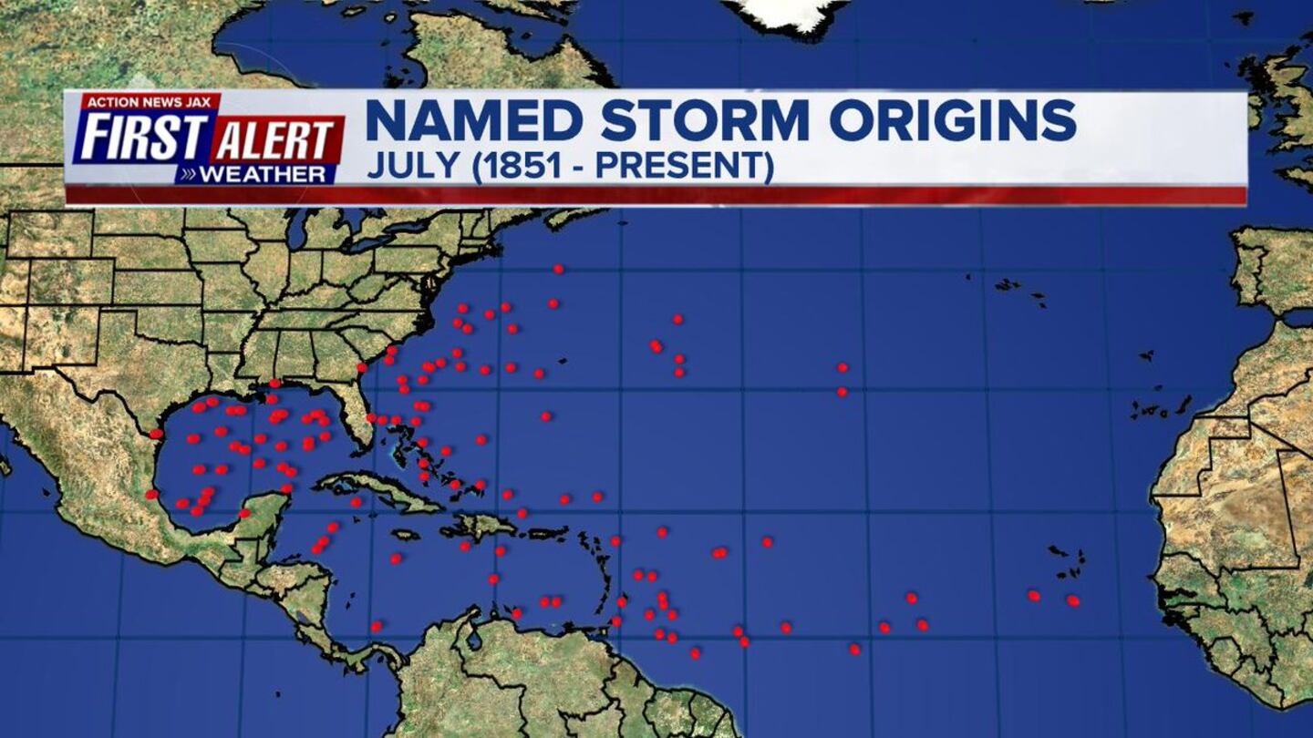
The average date for the first storm of the Atlantic season is July 9th with typical tracks into the Gulf of Mexico or Western Atlantic.
A look at the velocity potential anomalies does show "upward motion" (green lines) over the Central/Eastern Pacific which has likely aided the development of Alvin & Barbara last week & now Cosme. This upward motion is spreading into the Atlantic Basin & could help spark the first development of the Atlantic season (other than brief Andrea in May).

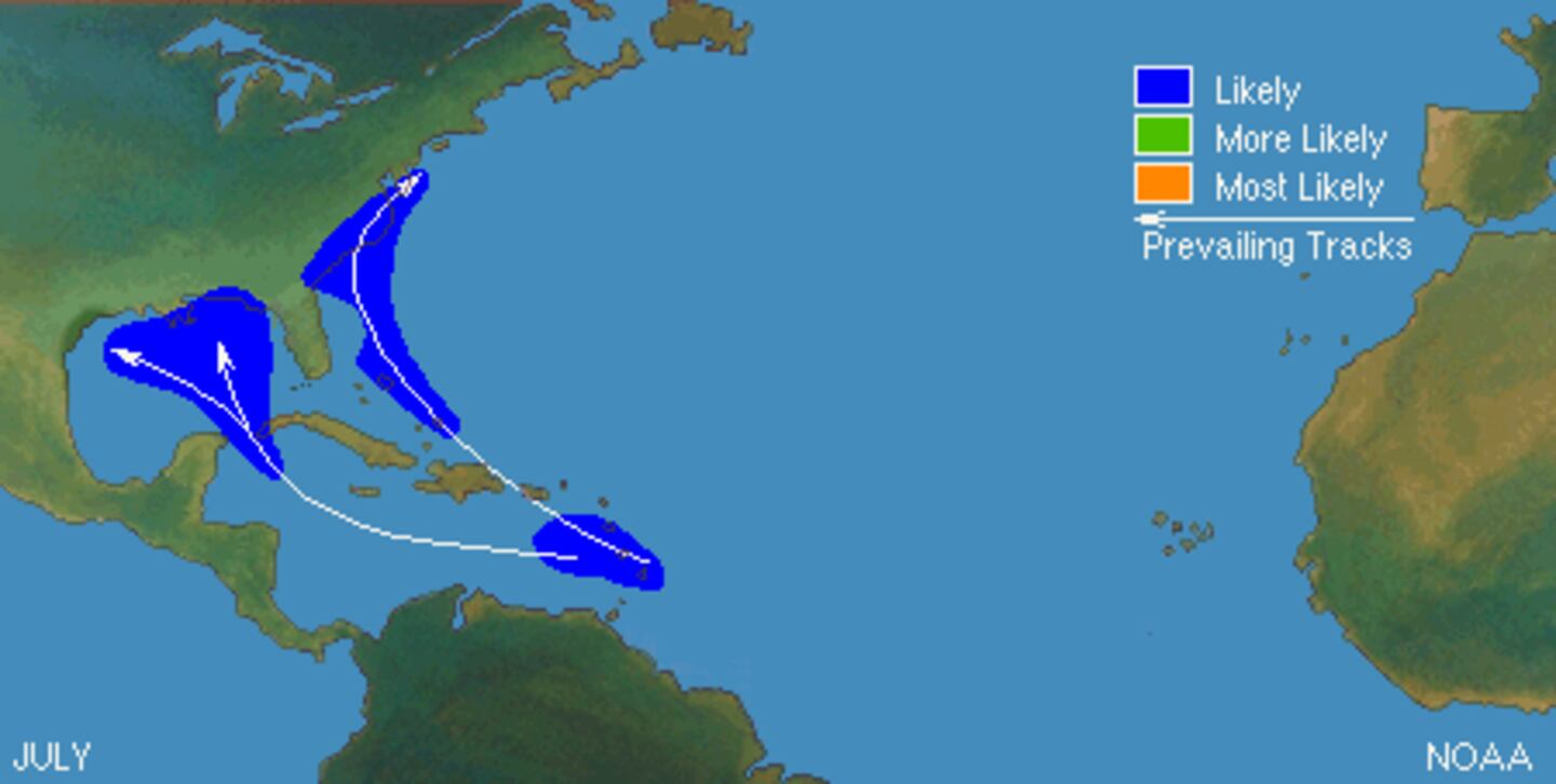
Forecast models continue to hit on an upper level low moving southward over the Gulf Coast into the Gulf of Mexico fostering the development of low pressure near Florida initially - by midweek - then the low slowly moving west over the warm Gulf of Mexico where mid & upper level shear is pretty weak - less than 15 mph. Long range global forecast models are rather remarkably in agreement on this type of scenario but, of course, there is a wide range on intensity & exact location. The evolution of this system will be gradual. While models - in general - have trended west on a possible U.S. landfall, a "sneaky" northeast move cannot be discounted yet.
As for Jacksonville & all of Fl., it looks like the area will be the east of this development which would likely lead to even wetter conditions than we've been recently experiencing. Major impacts would be farther west as long as the system does not trend or move east in the end. Upper level high pressure over the Western U.S. + a weaker upper level high pressure cell near Florida will allow for an alleyway of sorts somewhere over the Gulf Coast for which this system would eventually turn northward. The position & strength of these upper level high pressure areas will be key in the ultimate movement of what could become "Barry".
Everyone from Fl. west along the Gulf Coast to Texas should stay up to date on this evolving situation.


Model plots for Gulf of Mexico possible development are limited for the time being because some models are not showing formation yet not to mention the disturbance is still over land dropping southward from the Tennessee Valley.

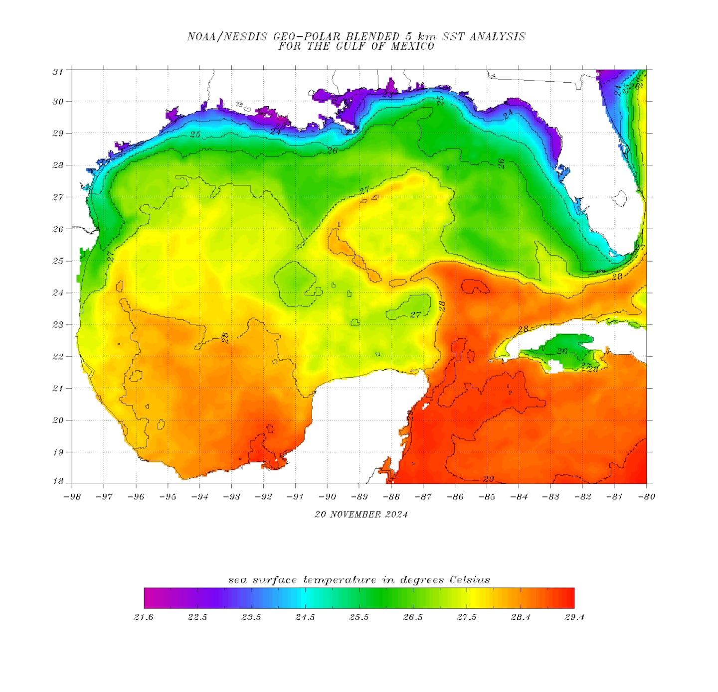
Sea surface temps. over the Gulf are plenty warm enough to support &/or help tropical development.... as highs as the upper 80s over parts of the NE & Eastern Gulf.
Rainfall forecast for this week is impressive over the Gulf into the SE U.S.:

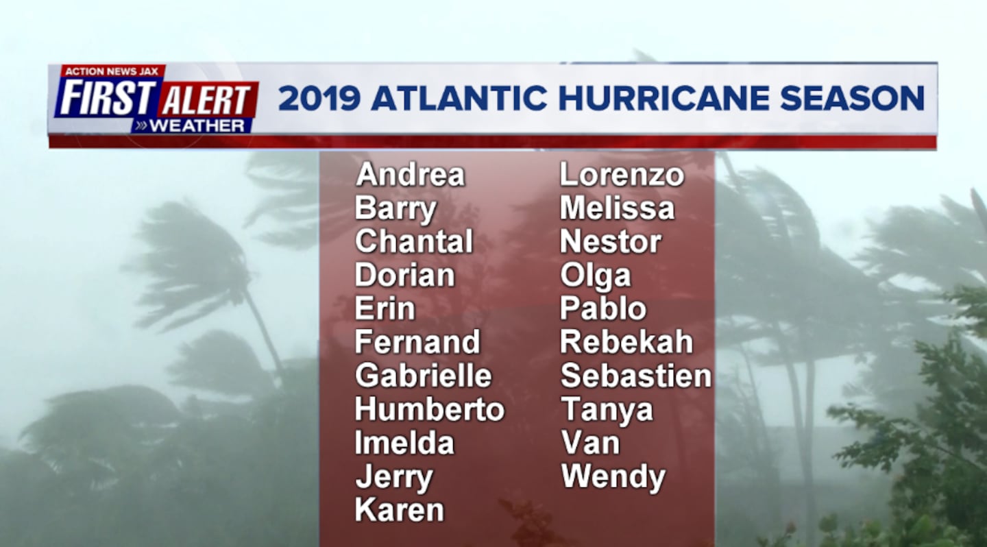
2019 names..... "Andrea" was briefly upgraded in May. Next on the list: "Barry" (names are picked at random... repeat every 6 years... historic storms are retired (Florence & Michael last year):
Atlantic Basin:
0
1
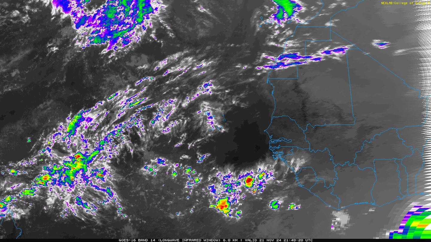
East Atlantic:


Mid & upper level wind shear (enemy of tropical cyclones) analysis (CIMMS). The red lines indicate strong shear of which there is plenty across the Atlantic at the moment:

The Atlantic Basin:

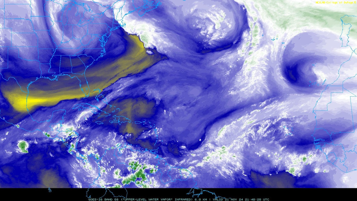
Water vapor imagery (dark blue indicates dry air):
Deep oceanic heat content:

Sea surface temp. anomalies show some "cool" water remaining over the E. Atlantic but avg. to above avg. temps. for much of the rest of the Atlantic Basin.....

SE U.S. surface map:

Surface analysis centered on the tropical Atlantic:

Surface analysis of the Gulf:

Caribbean:

In the E. Pacific.... Cosme is already disippating several hundred miles to the west/southwest of the Baja of California with a another disturbance possible west of Central America during the upcoming week.


Cox Media Group


