JACKSONVILLE, Fla. — Isaias is moving into the Northern Gulf and should intensify today before landfall by this evening between 7 p.m. and 9 p.m. near Pensacola/Mobile while weakening some upon approach.
Some fringe effects for the local area and a few heavy thunderstorm bands and isolated tornado threats.
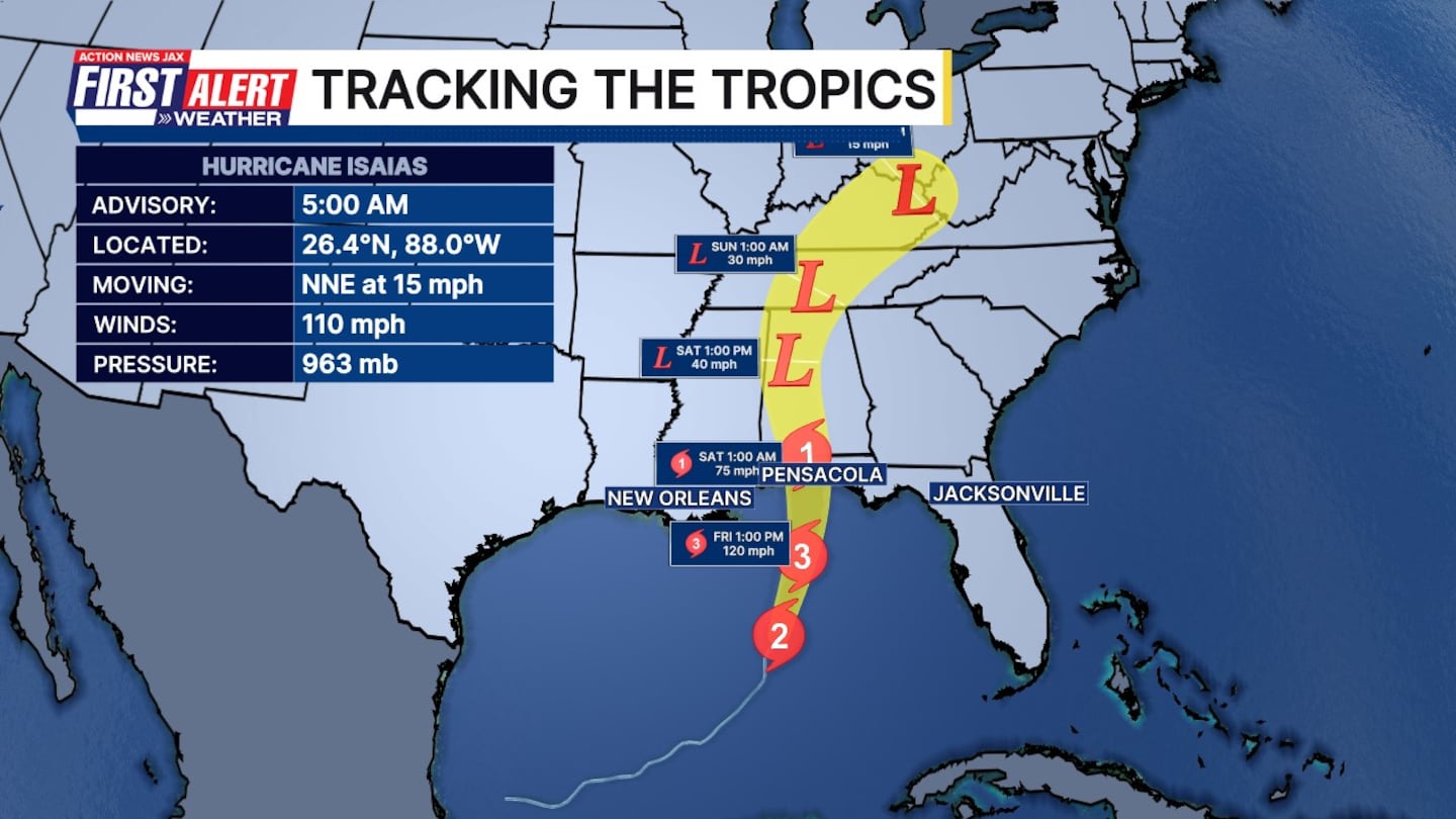
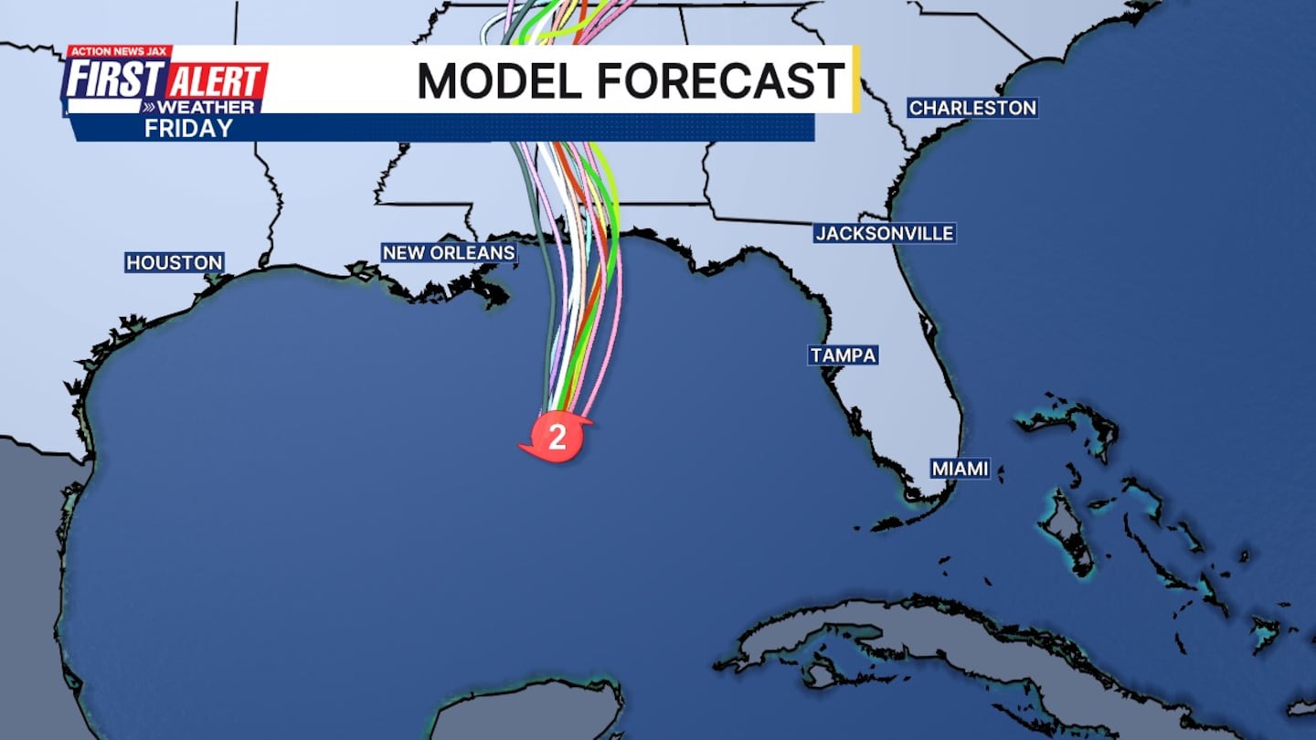
As of Friday morning, a hurricane warning is in effect from Ocean Springs, Mississippi, to the Bay-Gulf County line in Florida. A storm surge warning was is in effect from the mouth of the Mississippi to the Suwannee River.
Tropical Storm Warnings are in effect for Jefferson/Plaquemines Parish Line, LA to west of Ocean Springs, MS, East of Bay/Gulf County Line to Aucilla River, FL. A Storm Surge Watch is in effect for Suwannee River to Yankeetown, FL
WATCH THE FORECAST | DOWNLOAD THE APPS
Follow Action News Jax Meteorologists on Twitter for updates:
Mike Buresh | Garrett Bedenbaugh | Corey Simma | Trevor Gibbs
ALLERGY TRACKER: See what the pollen counts look like in our area
LISTEN: Mike Buresh ‘All the Weather, All the Time’ Podcast
INTERACTIVE RADAR: Keep track of the rain as it moves through your neighborhood
SHARE WITH US: Send us photos of the weather you’re seeing in your area ⬇️


