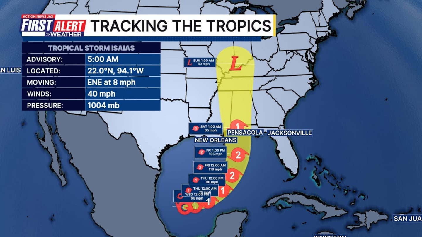
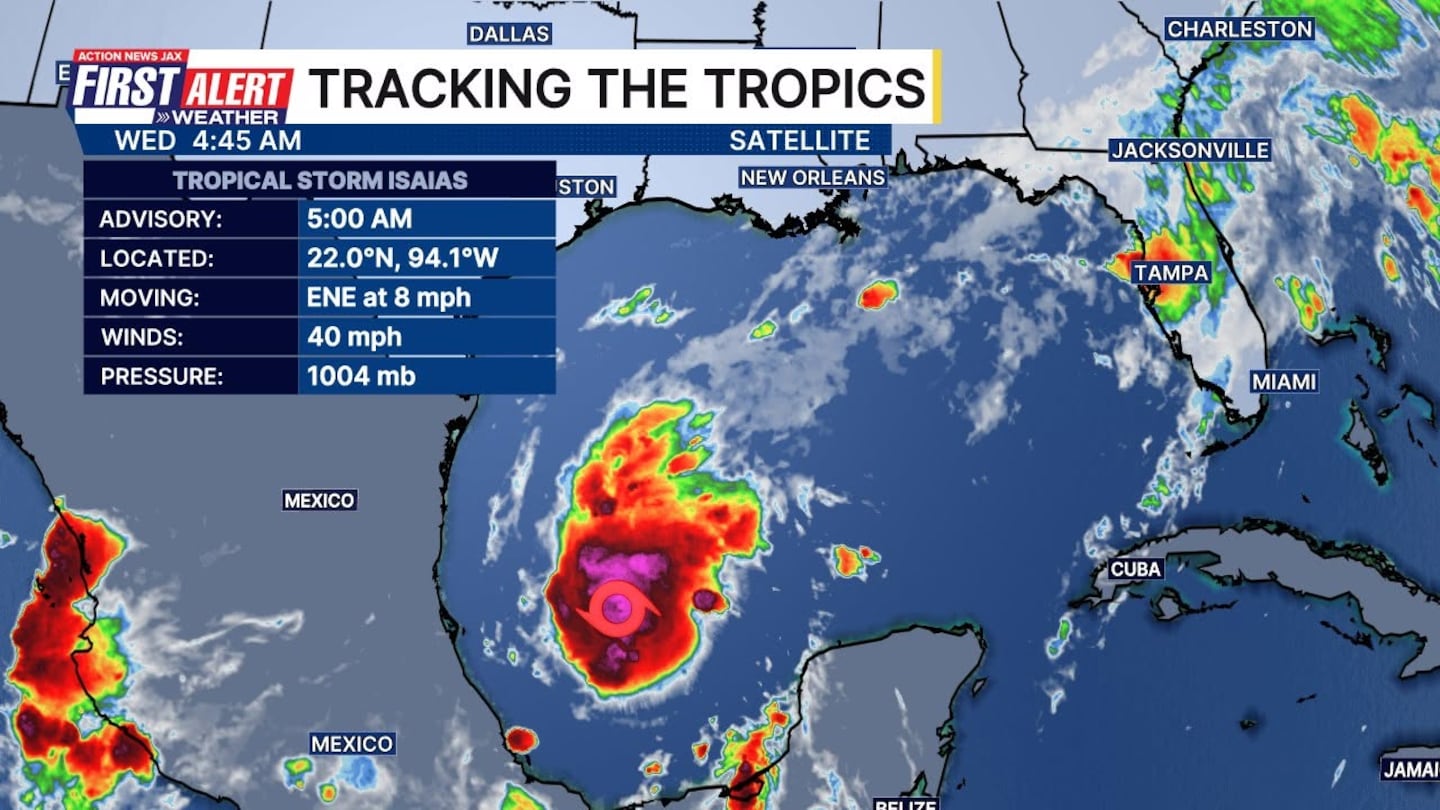
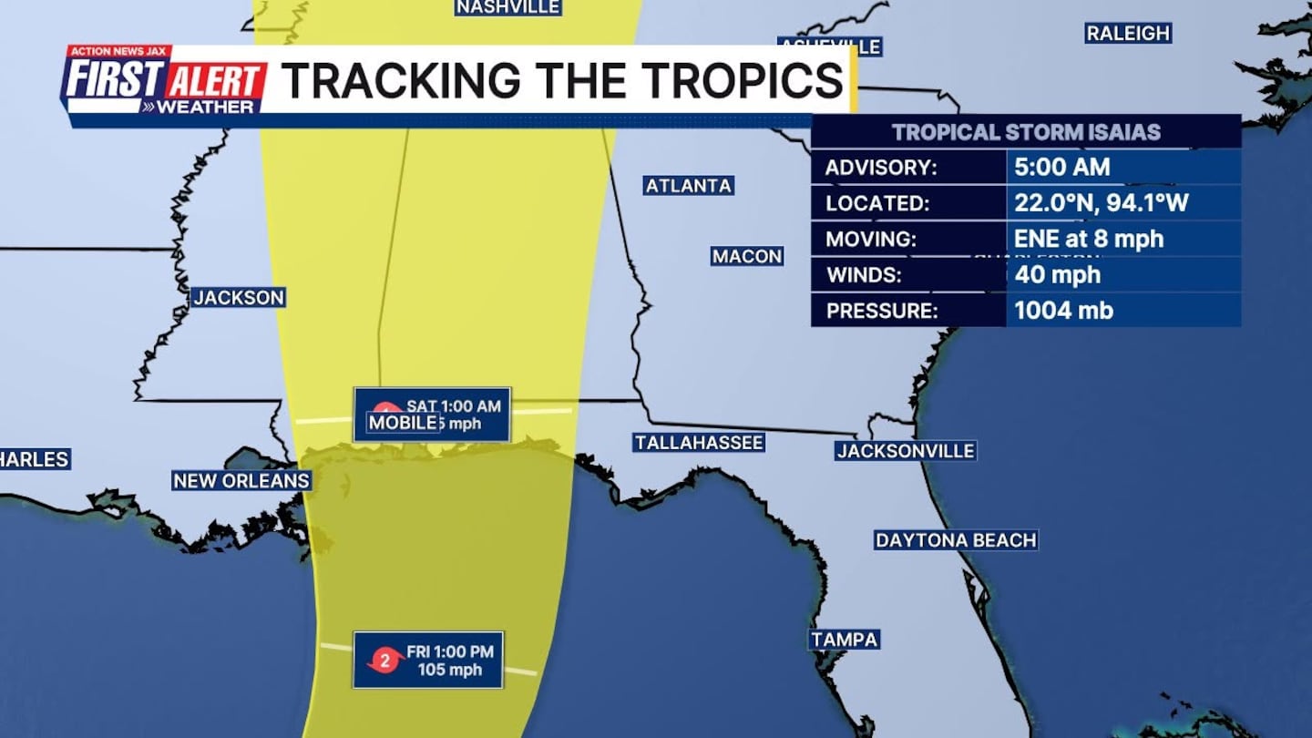
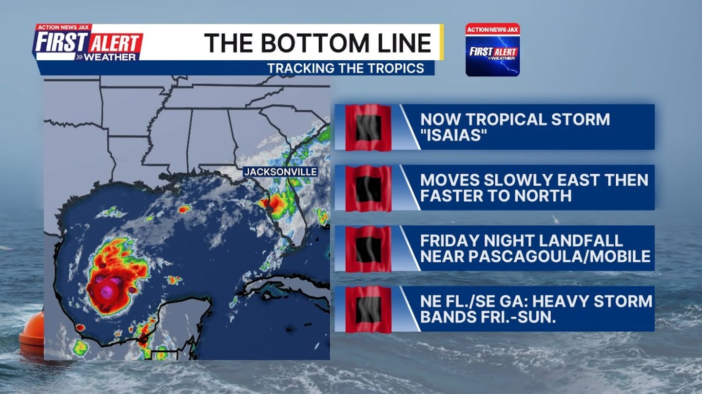
JACKSONVILLE, Fla. — 5 AM, WEDNESDAY: Tropical storm Isaias is in the Gulf. Here is the updated 5 a.m. eastern forecast track. Hurricane watches will likely be required for a portion of the U.S. northern Gulf coast later today.
- Model guidance carries the system northward/northeastward toward the Gulf coast.
- Early indications are a possible landfall anywhere from Louisiana to Florida Panhandle this weekend.
- Tropical impacts will be well to our west.
- We will continue to monitor around the clock.
- “Talking The Tropics with Mike” is updated every day.
DeSantis issues state of emergency for 25 counties including Baker, Columbia
Florida Gov. Ron DeSantis has issued a state of emergency for 25 counties that may see impacts from Tropical Storm Isaias which formed in the southwest Gulf Wednesday morning.
The counties include Baker, Bay, Calhoun, Columbia, Dixie, Escambia, Franklin, Gadsden, Gilchrist, Gulf, Hamilton, Holmes, Jackson, Jefferson, Lafayette, Leon, Liberty, Madison, Okaloosa, Santa Rosa, Suwannee, Taylor, Walton, Wakulla, and Washington.
“This order will allow the Florida Division of Emergency Management to stage critical preparedness resources and ensure Florida is ready to respond,” DeSantis stated in a news release Tuesday night. “Floridians should take this time to get disaster plans in place and ensure their hurricane supply kit is stocked.”
WATCH THE FORECAST | DOWNLOAD THE APPS
Follow Action News Jax Meteorologists on Twitter for updates:
Mike Buresh | Garrett Bedenbaugh | Corey Simma | Trevor Gibbs
ALLERGY TRACKER: See what the pollen counts look like in our area
LISTEN: Mike Buresh ‘All the Weather, All the Time’ Podcast
INTERACTIVE RADAR: Keep track of the rain as it moves through your neighborhood
SHARE WITH US: Send us photos of the weather you’re seeing in your area ⬇️


