
Sept. 7, 2019 — The "Buresh Bottom Line": Always be prepared!.....First Alert Hurricane Survival Guide... City of Jacksonville Preparedness Guide... Georgia Hurricane Guide.
STAY INFORMED: Get the * FREE * First Alert Weather app
FREE NEWS UPDATES, ALERTS: Action News Jax app for Apple | For Android
WATCH "Surviving the Storm"
READ the First Alert Hurricane Center "Survival Guide"
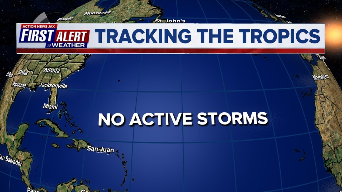
DORIAN:
Hurricane Dorian moved to Jacksonville's latitude approximately 100 miles to the east about 2pm Wednesday followed by the first official U.S. landfall about 8:30am Fri. at Cape Hatteras. Dorian is now headed for Nova Scotia & parts of New Foundland after lashing the extreme Southeast New England coast with tropical storm force winds for a short time Saturday.

Dorian went through a classic rapid intensification (RI) cycle last week from about mid afternoon Fri. into early Sat. as the central pressure dropped more than 40 mb & winds increased by some 60+ mph followed by yet another rapid intensification cycle Sunday taking the sustained winds to 185 mph making Dorian tied with the 1935 Labor Day hurricane (Fl. Keys) as the most intense Atlantic hurricane on record to make landfall. By Mon. morning, Dorian had been a Cat. 5 for more than 24 hours - remarkable. Dorian was the first Cat. 5 hit ever on the Abaco Islands - while the Central & especially Southern Bahamas will fare far better. A very close call for Nassau, but the most severe part of Dorian stayed north. Dorian then moved north/northwest about 100 miles east of Jacksonville Wed. about 2:00pm as a Cat. 2 before re-strengthening into a Cat. 3 (likely helped by the Gulf Stream) Wed. evening about 140 miles northeast of Jacksonville followed by the only U.S. landfall Fri. morning about 8:35 am at Cape Hatteras.
According to Dr. Klotzbach, CSU hurricane researcher, this is only the 2nd Cat. 5 hit on any of the Bahamas since 1985 (Andrew, 1992) & is the 27th Cat. 5 in the Atlantic Basin since 1950. Since 2016, there has been a relative "slew" of Cat. 5's: Matthew in 2016, Irma in 2017, Maria in 2017, Michael last year & now Dorian. Only Michael made a landfall (Fl. Panhandle) as a Cat. 5.

Dorian found the alleyway - between the Bermuda High over the Central Atlantic & a relatively weak but still important - just enough - upper level trough moving into the Northeast U.S. to move just east of Florida to a landfall near the South/North Carolina border while turning more northeast through the Outer Banks then across the extreme NW Atlantic to far Southeast Canada.
For Jacksonville, FL. Dorian was a "nice" compromise between 2016's Matthew which was only offshore Jacksonville's coast by 40-45 miles & 1999's Floyd which was about 150 miles to the east. It's interesting that Floyd caused one of the greatest mass evacuations in U.S. history while Dorian's evacuation was far more limited - especially for Fl. & Ga. This is a true testament to the advances of modern meteorology & tropical forecasting [the cone] (realizing the Dorian forecast was tedious & painful!).

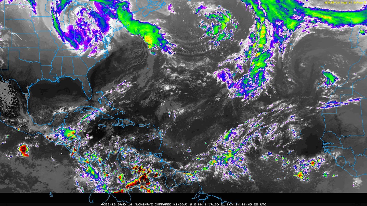
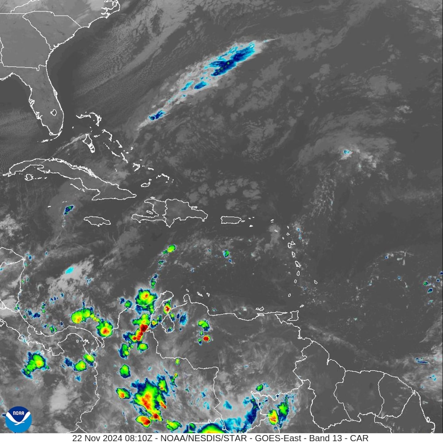
Satellite imagery:


The chart below is at 500 mb (~30,000 feet) & shows that ever so critical Bermuda high - its positioning & strength + the weak trough over New England - earlier this week. Hurricanes follow the path of least resistance.

Interesting possible/probable correlation to W. Pacific tropical cyclone "Lingling". The typhoon is moving almost due north into Korea & China over the next several days. The positioning of the ridge over the W./Central Pacific teleconnects with the Bermuda high over the Atlantic adding confidence to the forecast of Dorian's northward move to the Carolina's before turning northeast.


Phil Klotzbach - September landfalling hurricanes:

The rest of the Atlantic Basin is active too - Fernand moved ashore Wed. in Mexico just south of Texas dissipating over mountainous terrain while Gabrielle has developed over the East Atlantic followed by yet another active tropical wave over the far East Atlantic. The wave moving off Africa has long term potential with the big question mark .... as of right now .... being whether or not the wave develops early on & then turns more northward or remains rather weak which would allow the trade winds to steer a more shallow disturbance more west. Plenty of time to watch/monitor/track & "cipher". The European model takes this wave to near Florida next weekend then into the Gulf followed by another strong tropical wave near Puerto Rico in about 10 days. The GFS model takes the first wave to east of Puerto Rico by next weekend to east of Florida the following week (slower, more east than Euro model). The UKMET model takes the initial to east of the Bahamas midweek followed by another wave over the E. Atlantic.
Overall.... the global forecast models show a general lowering of pressures across the subtropics through mid to late Sept. which often correlates to tropical development. No surprise at the peak of the hurricane season.


An examination of dust over the Atlantic shows generally less dust over the basin vs. past months which is fairly typical for September & the peak of the hurricane season.

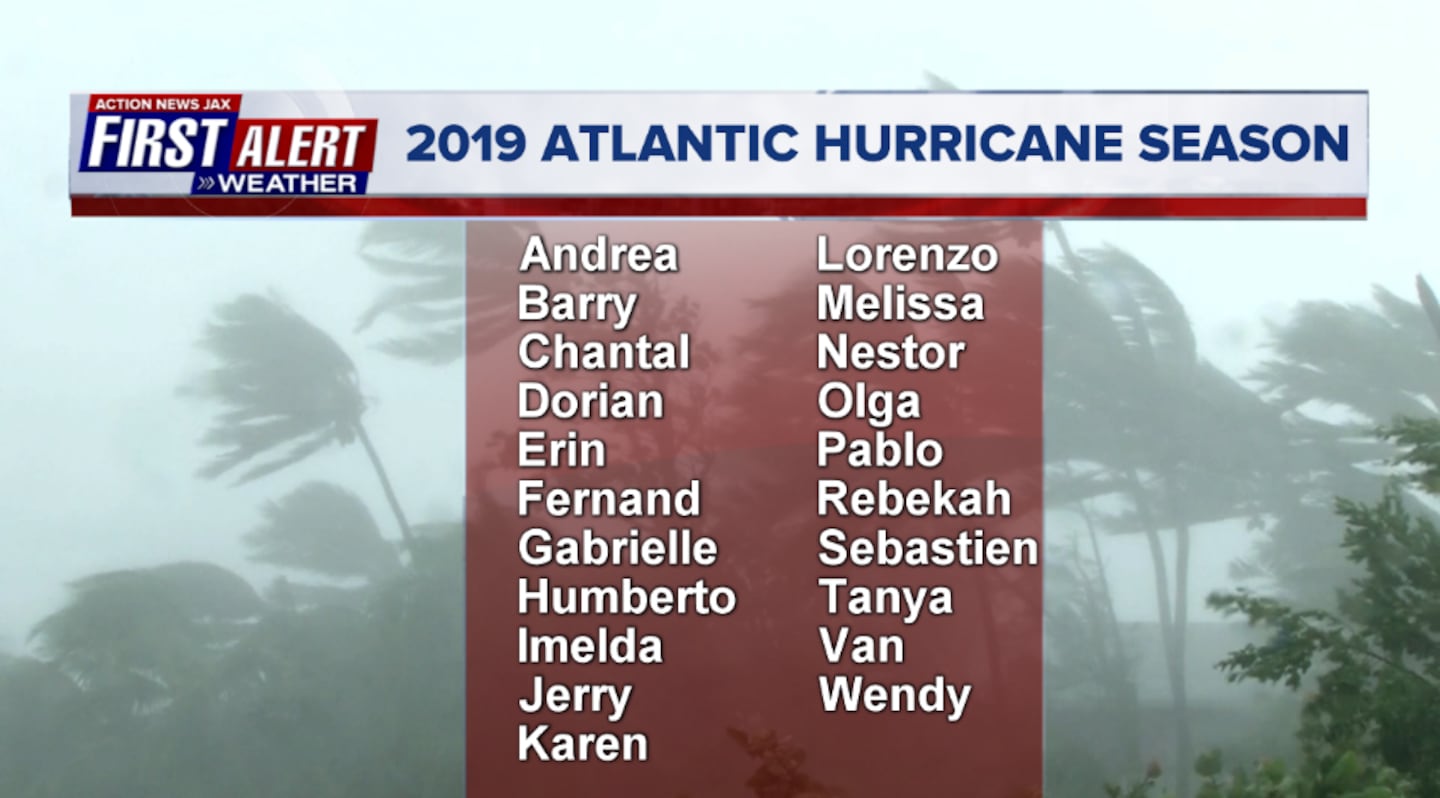
2019 names..... "Humberto" is next on the Atlantic list (names are picked at random... repeat every 6 years... historic storms are retired (Florence & Michael last year) & Dorian is almost certain to be next:
East Atlantic:
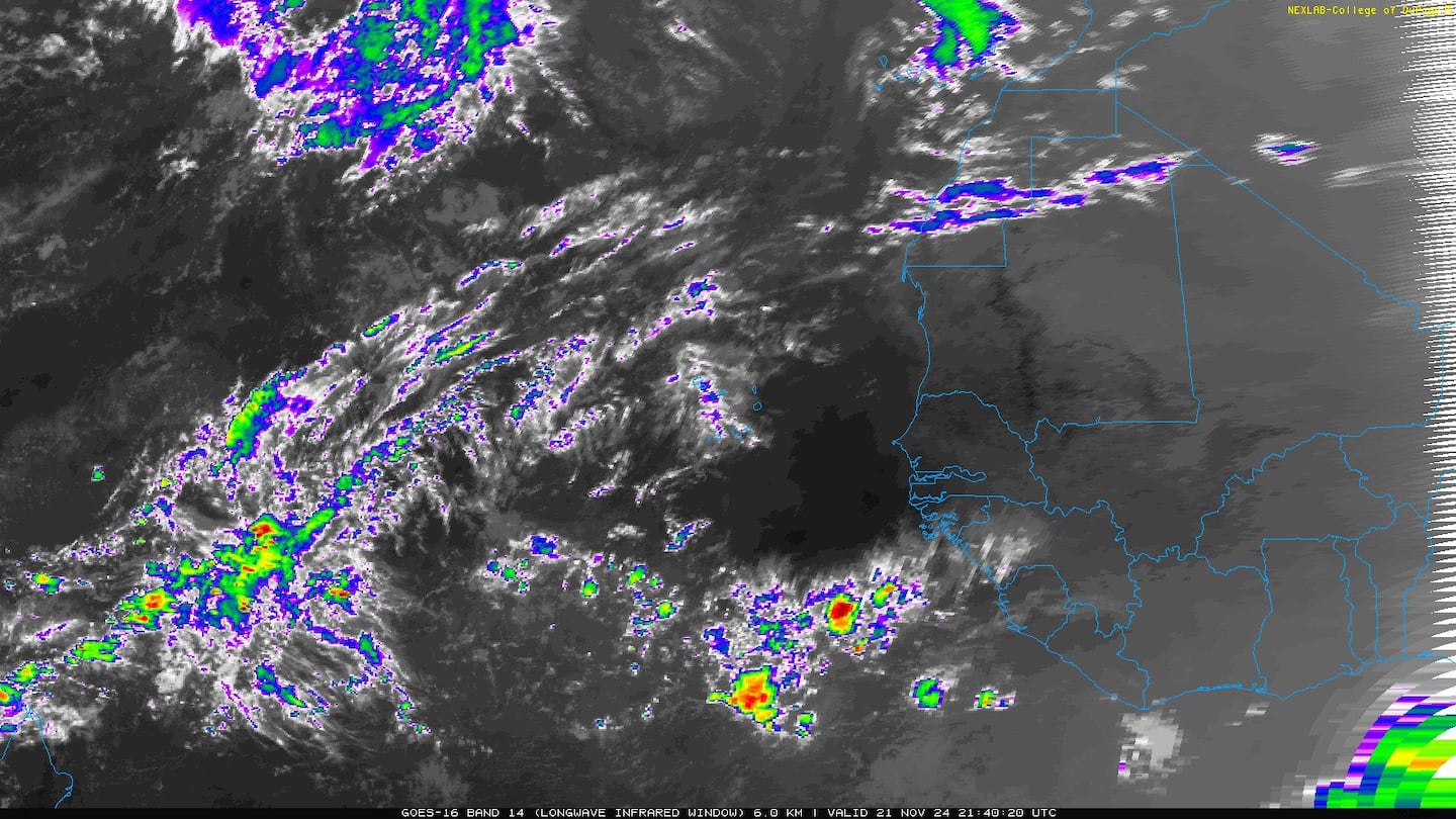

East Atlantic wave '91-L' became tropical storm "Gabrielle" earlier in the week before degenerating into a tropical wave & then becoming a tropical storm again(!). No threat to any land areas as the storm turns northward over the Central Atlantic:
Forecast models are sending mixed messages/signals regarding '94-L' - mainly on whether or not the wave can survive generally hostile conditions over the next week or so. Still early so plenty of time to watch & track.


border="0" width="479">


Mid & upper level wind shear (enemy of tropical cyclones) analysis (CIMMS). The red lines indicate strong shear of which there is plenty across the Atlantic at the moment:

The Atlantic Basin:

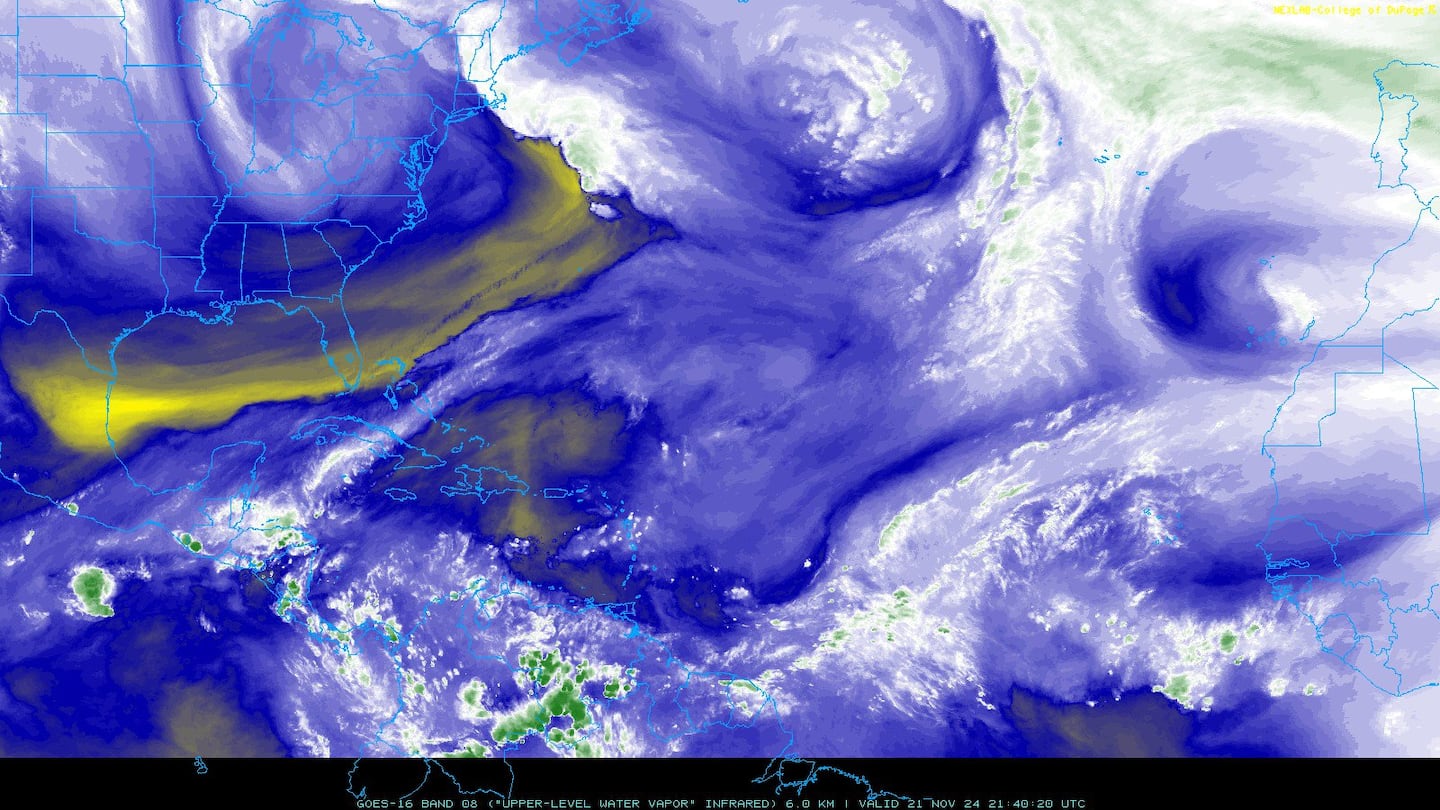
Water vapor imagery (dark blue indicates dry air):
Deep oceanic heat content:

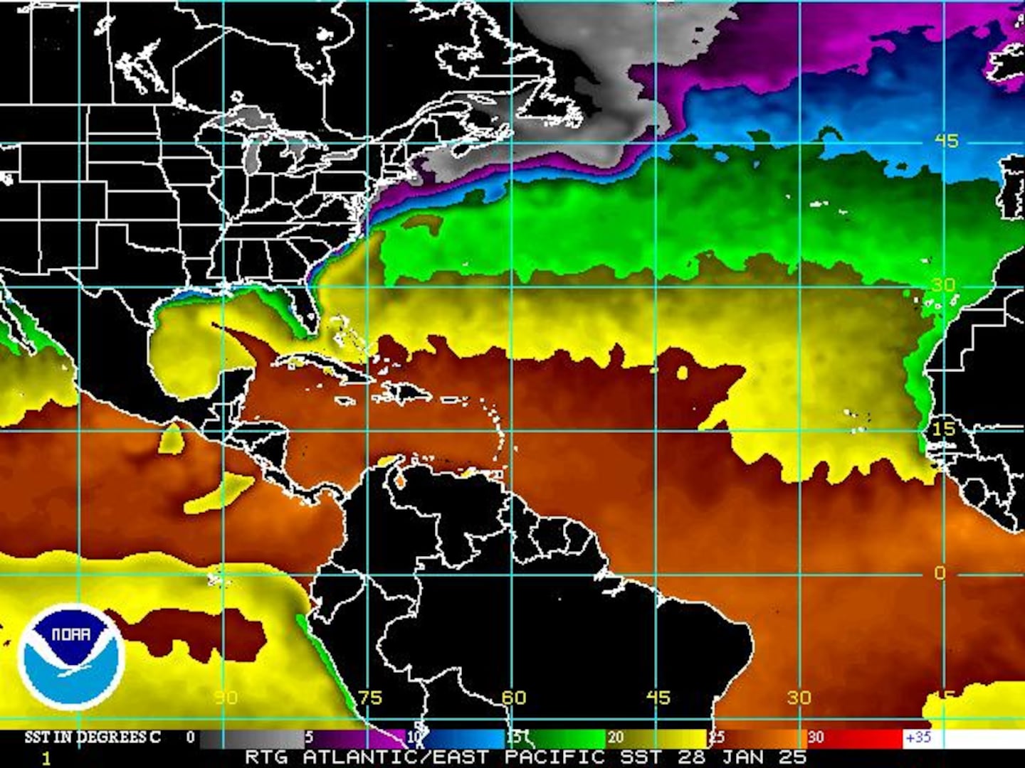
Sea surface temp. anomalies show a warm Gulf of Mexico, Central & Northwest Atlantic while the "Main Development Region" (MDR) remain cooler than avg. along with parts of the Central Caribbean.....

While the MDR is cooler than avg., it's important to realize the water is still warm enough to support tropical systems....
SE U.S. surface map:

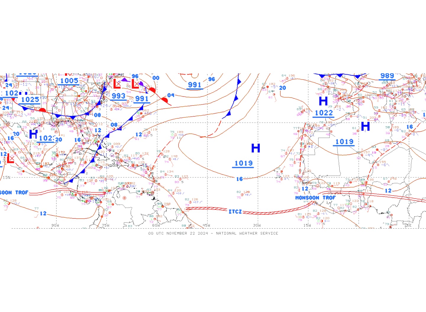
Surface analysis centered on the tropical Atlantic:
Surface analysis of the Gulf:

Caribbean:

Cox Media Group


