
July 30, 2019 — The "Buresh Bottom Line": Always be prepared!.....First Alert Hurricane Survival Guide... City of Jacksonville Preparedness Guide... Georgia Hurricane Guide.
STAY INFORMED: Get the * FREE * First Alert Weather app
FREE NEWS UPDATES, ALERTS: Action News Jax app for Apple | For Android
WATCH "Surviving the Storm"
READ the First Alert Hurricane Center "Survival Guide"
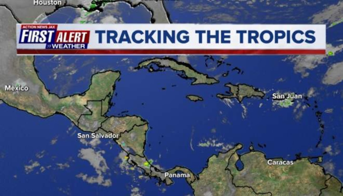
A tropical wave continues to slowly move northwest producing heavy rain over Puerto Rico & nearby islands - especially over the northern portion of the wave axis. Overall, there is little organization largely due to strong shear. The wave will move toward Florida through the end of the week with the shear + some land interaction likely inhibiting much in the way of tropical development. Some forecast models have shown some attempts at organization east of Florida while the wave turns north then is kicked northeast by another upper level trough moving into the Eastern U.S. BOTTOM LINE: it would appear the wave will not have favorable conditions for much strengthening prior to being in the vicinity of Fl. late week into the upcoming weekend. Any local / Florida impacts would be an even greater increase in heavy rain in what is a typically wet time of year.
A pretty active wave has come off the coast of Africa over the E. Atlantic. Little short term development is expected but something to keep an eye on in the longer run. Between the 5th & 10th of August, the wave should be approaching the Caribbean &/or SW Atlantic with potentially more favoarble conditions to organize.


Puerto Rico composite radar:

An examination of dust over the Central & Eastern Atlantic shows a pretty heavy area of dust/dry air over the Eastern Atlantic - typical for this time of year. While such dry air can inhibit tropical development initially, once the wave is farther west - IF all other conditions are equal - organization/strengthening can occur.

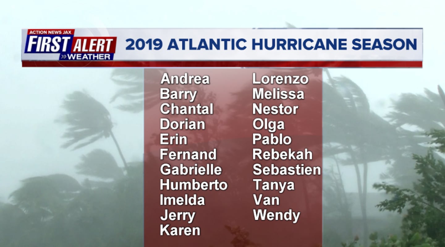
2019 names..... "Chantal" is next on the Atlantic list (names are picked at random... repeat every 6 years... historic storms are retired (Florence & Michael last year):


East Atlantic:
0
1

Mid & upper level wind shear (enemy of tropical cyclones) analysis (CIMMS). The red lines indicate strong shear of which there is plenty across the Atlantic at the moment:

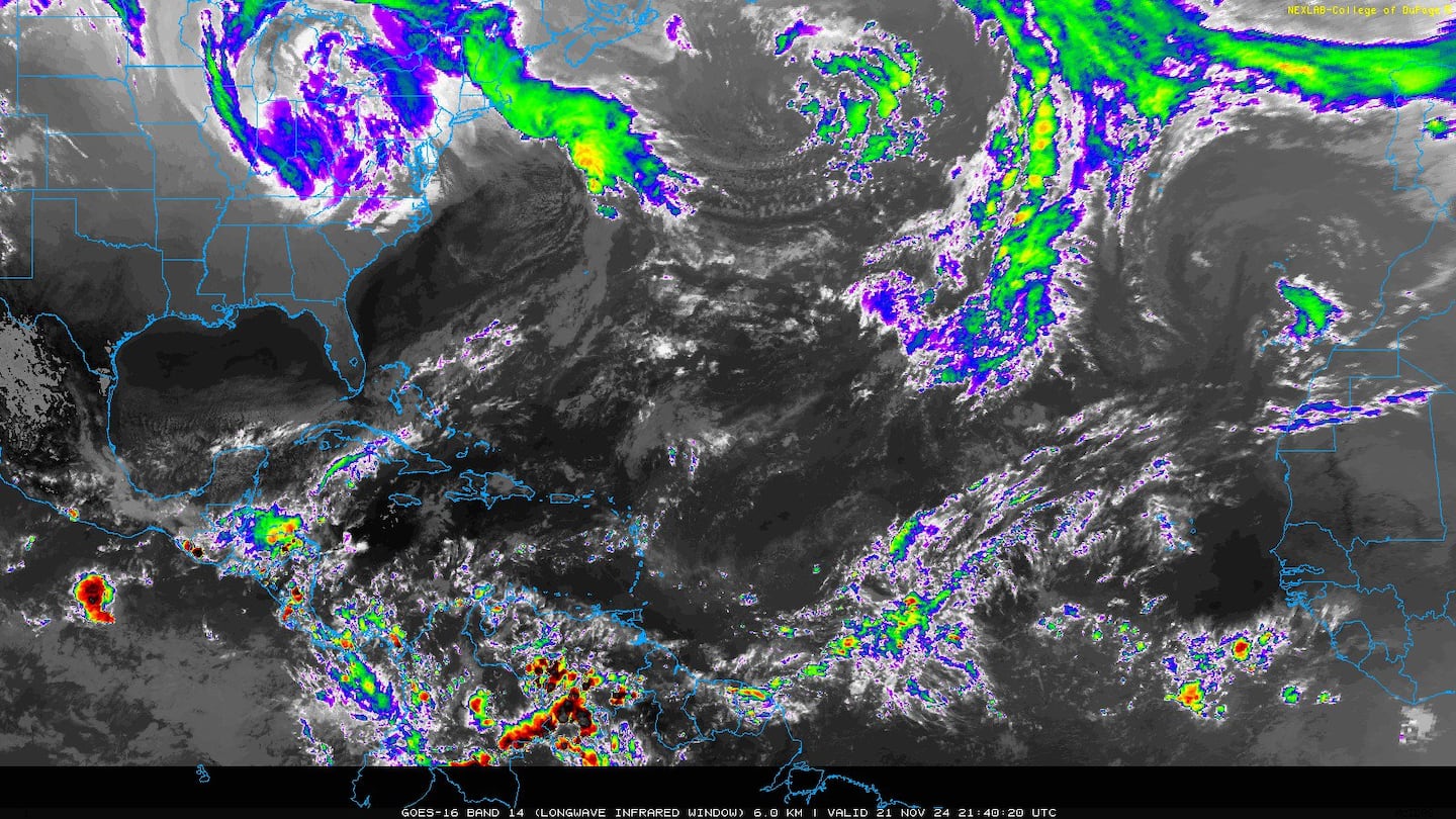
The Atlantic Basin:

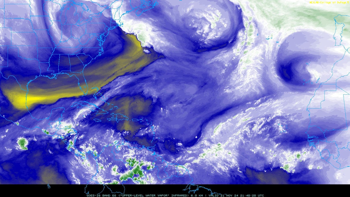
Water vapor imagery (dark blue indicates dry air):
Deep oceanic heat content:

Sea surface temp. anomalies show some "cool" water remaining over the E. Atlantic but avg. to above avg. temps. for much of the rest of the Atlantic Basin.....

SE U.S. surface map:

Surface analysis centered on the tropical Atlantic:

Surface analysis of the Gulf:

Caribbean:

The East & now Central Pacific is again active. "Erick" will be south of Hawaii by late week & likely quickly weakening after being at hurricane strength over the next few days. "Flossie" follows & could be near Hawaii in 7 - 10 days or so.


Flossie model plots:

Cox Media Group


