
Oct. 25, 2019 — The "Buresh Bottom Line": Always be prepared!.....First Alert Hurricane Survival Guide... City of Jacksonville Preparedness Guide... Georgia Hurricane Guide.
STAY INFORMED: Get the * FREE * First Alert Weather app
FREE NEWS UPDATES, ALERTS: Action News Jax app for Apple | For Android
WATCH "Surviving the Storm"
READ the First Alert Hurricane Center "Survival Guide"
RECAP "Hurricane Dorian: A True Tropical Beast"
** Tropical depression #17 has strengthened into tropical storm "Olga" over the NW Gulf of Mexico. Landfall will be Fri. night/early Sat. near/west of New Orleans. No direct impacts for Jacksonville/NE Fl./SE Ga. but heavy rain, gusty winds & isolated tornadoes will occur from the Fl. Panhandle to New Orleans & Central Louisiana through late Saturday **
The tropical wave & an area of low pressure with persistent showers & t'storms is moving N/NE over the Western Gulf of Mexico & was upgraded to t.d. #17 Fri. morning then tropical storm Olga late Fri. afternoon. The cyclone looks a bit subtropical on satellite with primary threats being flooding & a few tornadoes along the Central Gulf Coast. Olga will move ashore near & west of New Orleans by later Fri. night/ earlySat. morning. Olga will become extra- or post-tropical (hybrid low pressure) near or upon landfall as the cyclone "hooks up" with a cold front.
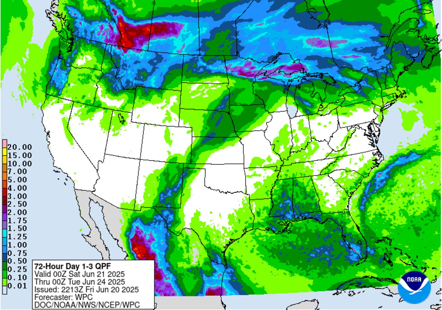
Expect heavy rain through the weekend from the Texas coast eastward through Louisiana, Mississippi & Alabama & the Fl. Panhandle with no direct impacts on Jacksonville/NE Fl./SE Ga.


Rainfall forecast:
Meanwhile.... a large low is over the NE Atlantic has been deemed a tropical storm - Pablo - by the NHC. Pablo will stay over the open NE Atlantic to the east of the Azore Islands.


Atlantic dust:

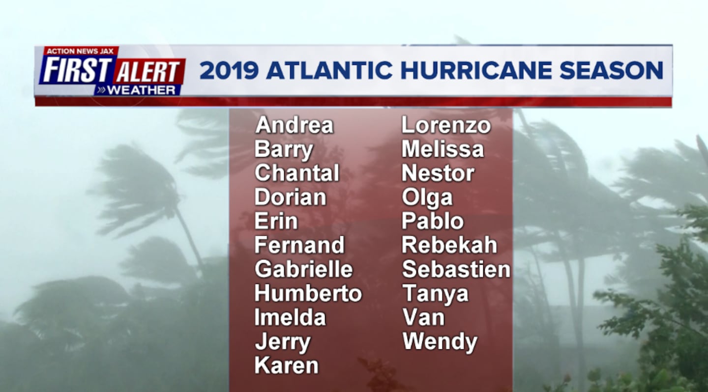
2019 names..... "Rebekah" is next on the Atlantic list (names are picked at random... repeat every 6 years... historic storms are retired (Florence & Michael last year) & Dorian is almost certain to be next:
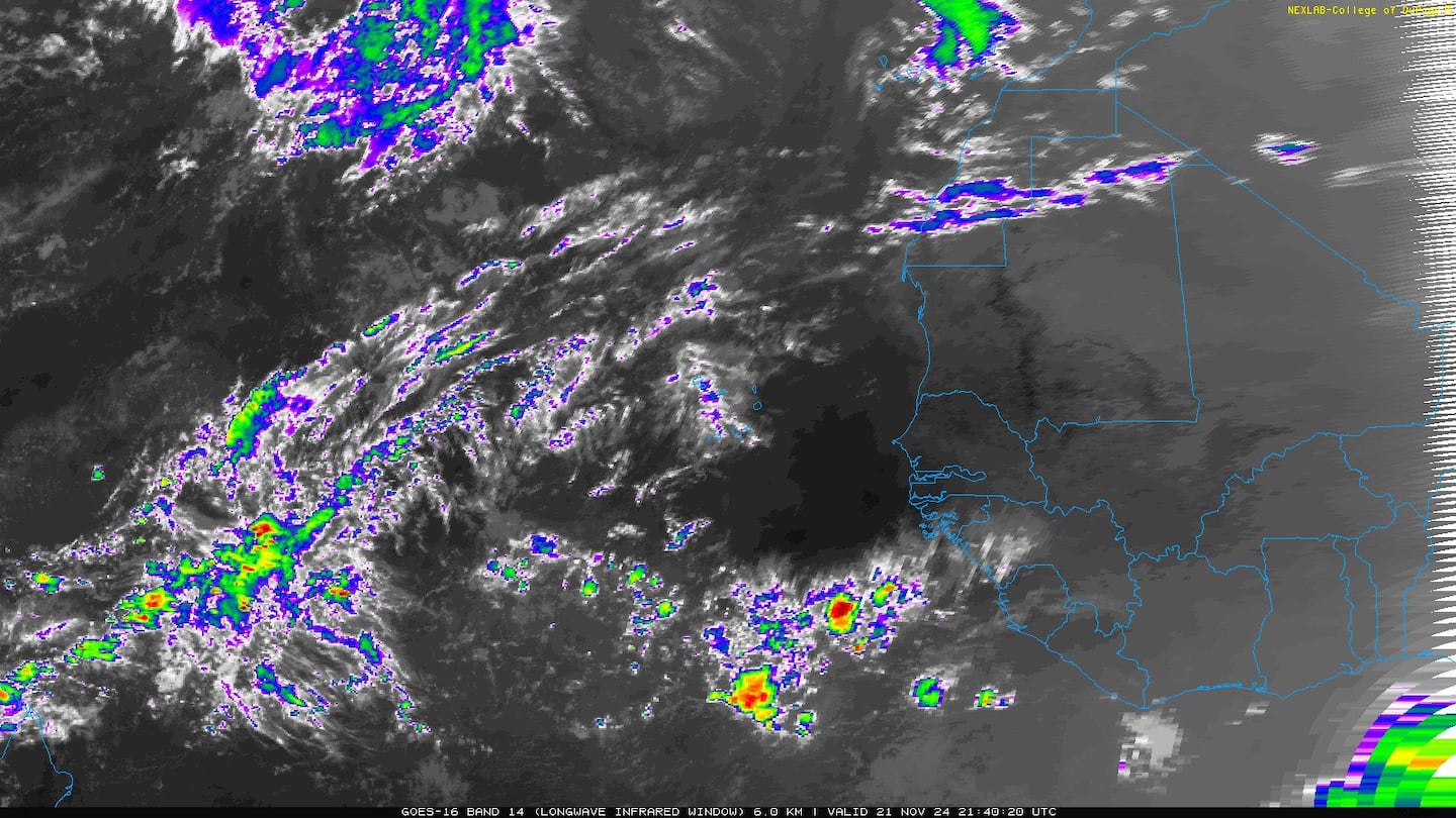
East Atlantic:


Mid & upper level wind shear (enemy of tropical cyclones) analysis (CIMMS). The red lines indicate strong shear of which there is plenty across the Atlantic at the moment:

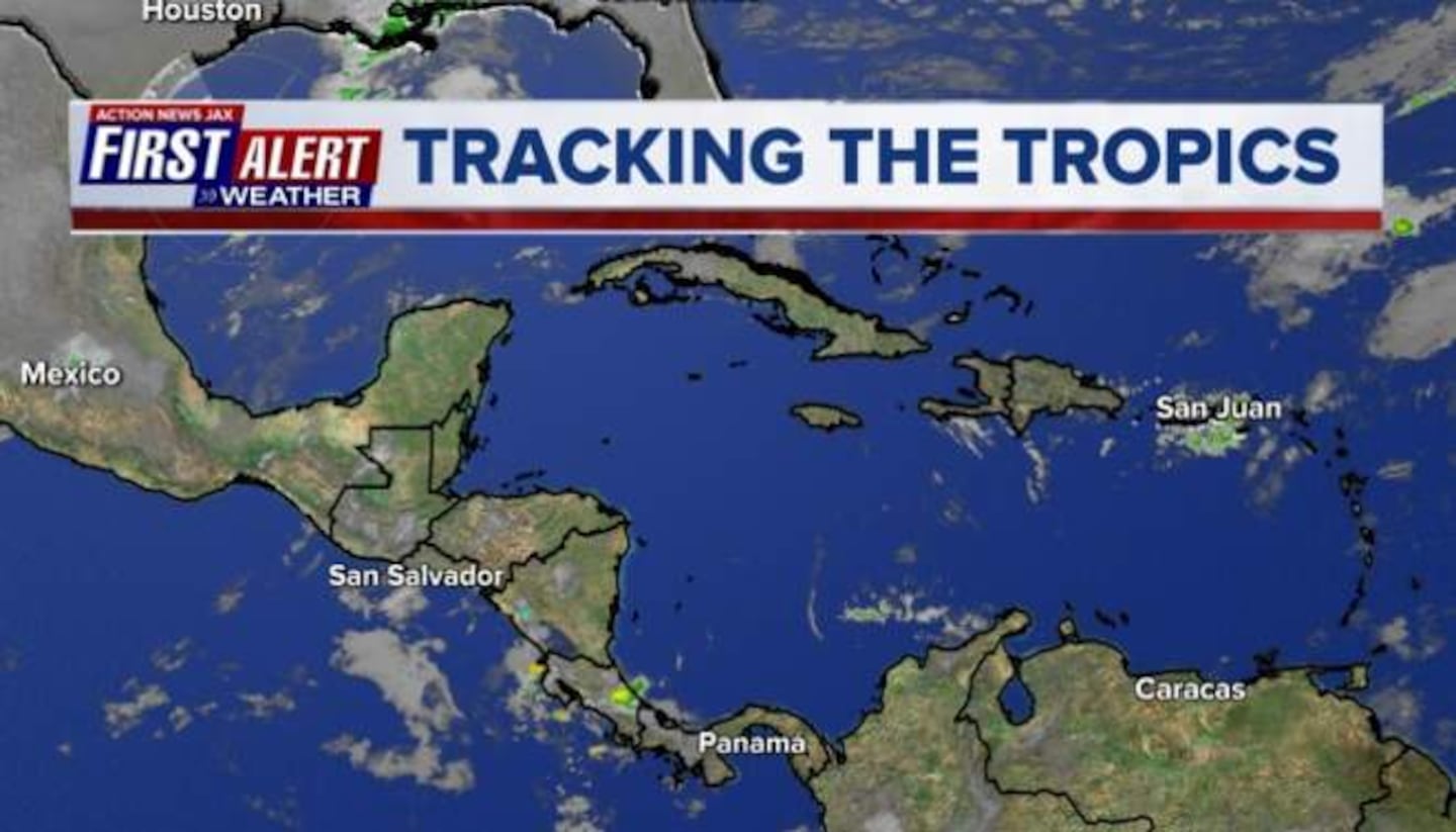
The Atlantic Basin:

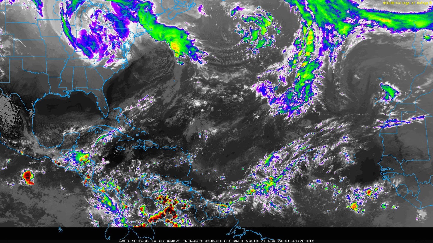
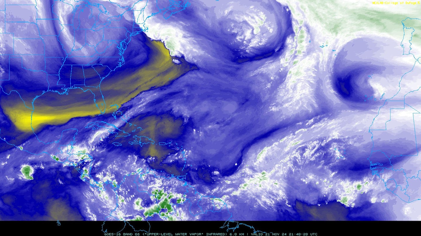
Water vapor imagery (dark blue indicates dry air):
Deep oceanic heat content is extreme over the NW Caribbean:

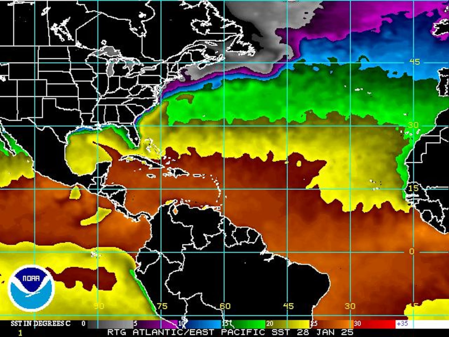
Sea surface temp. anomalies:

SE U.S. surface map:

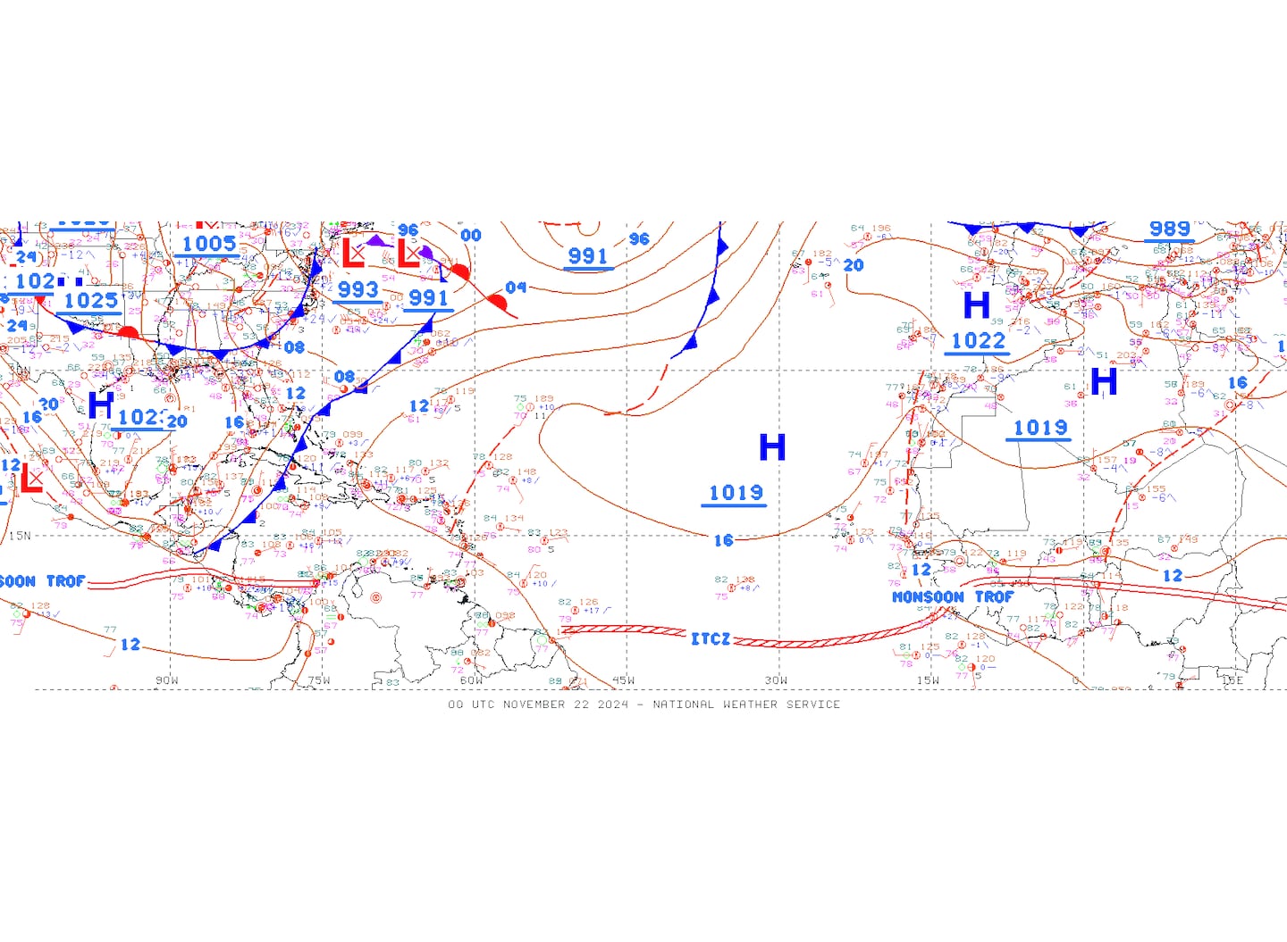
Surface analysis centered on the tropical Atlantic:
Surface analysis of the Gulf:

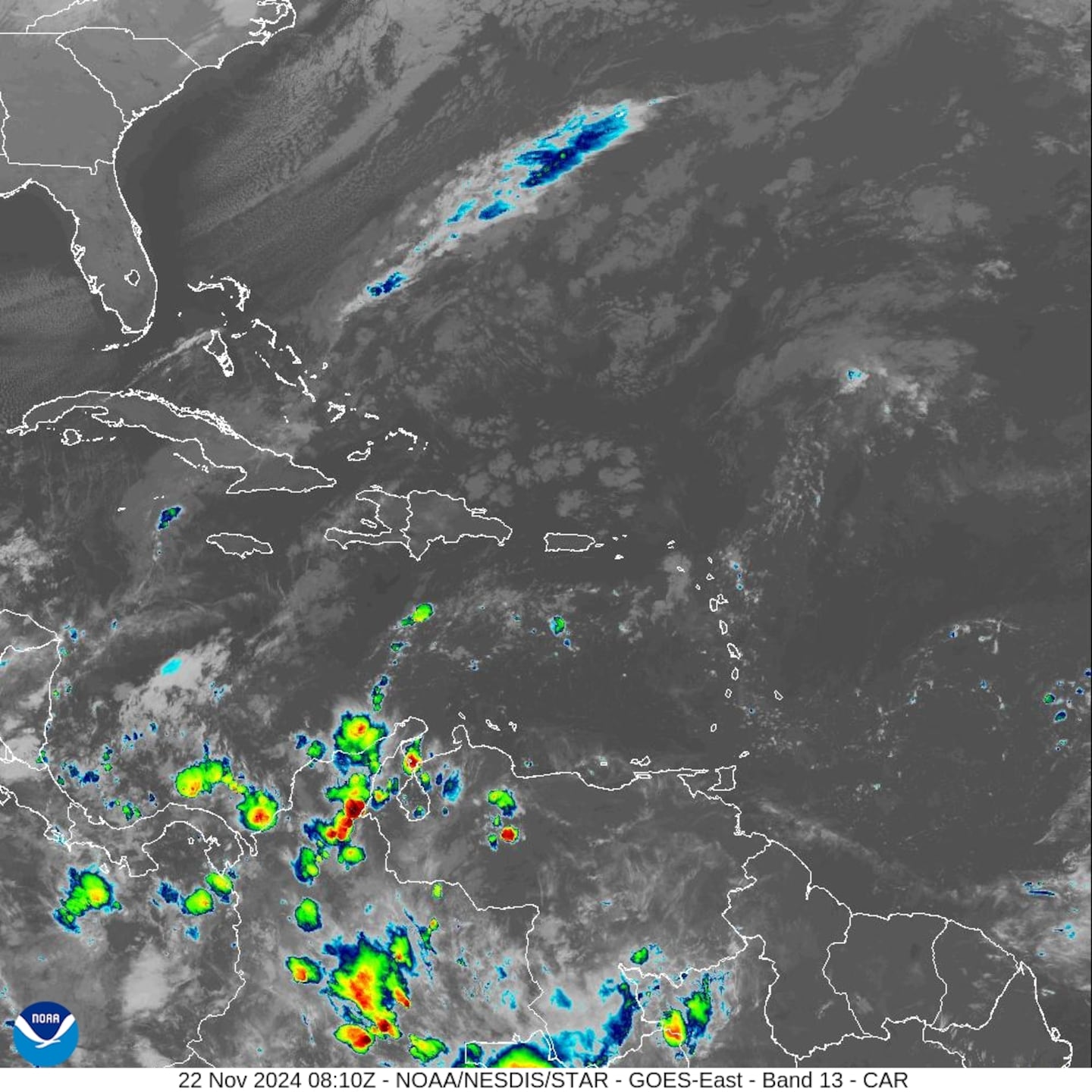
Caribbean:

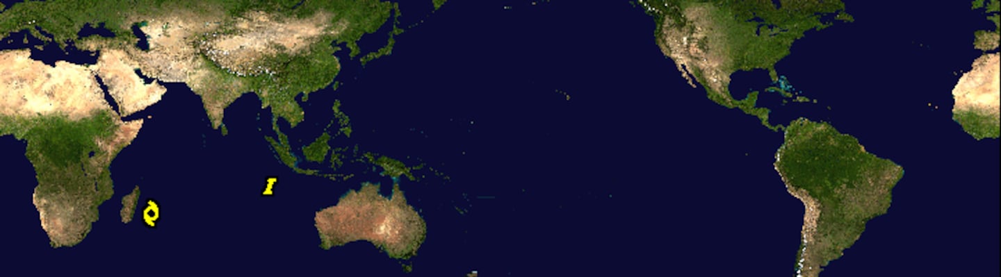
Global tropical activity.... "Bualoi" is recurving east of Japan while weakening.
Cox Media Group


