
Oct. 14, 2019 — The "Buresh Bottom Line": Always be prepared!.....First Alert Hurricane Survival Guide... City of Jacksonville Preparedness Guide... Georgia Hurricane Guide.
STAY INFORMED: Get the * FREE * First Alert Weather app
FREE NEWS UPDATES, ALERTS: Action News Jax app for Apple | For Android
WATCH "Surviving the Storm"
READ the First Alert Hurricane Center "Survival Guide"
RECAP "Hurricane Dorian: A True Tropical Beast"
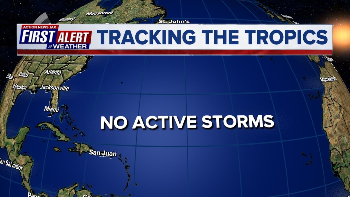
** There are no tropical threats to Jacksonville/NE Fl. & SE Ga. this week. The remnants of Melissa are over the North Atlantic & weakening ... low pressure near Central America needs to be watched as the low moves into the Gulf of Mexico later this week.... & the strong tropical wave off the coast of Africa has been upgraded to t.d. #15 **
Melissa transitioned to purely tropical over the weekend over the Northwest Atlantic southeast of New England & is weakening over the North Atlantic recently becoming extra-tropical. The system is being picked up by a trough moving into the Northeast U.S. & taken out to sea & should soon dissipate. This is the first Atlantic 'M' name in the last 3 years to not become a major hurricane & to not make landfall (Matthew, '16... Maria, '17 & Michael, '18 were all retired).
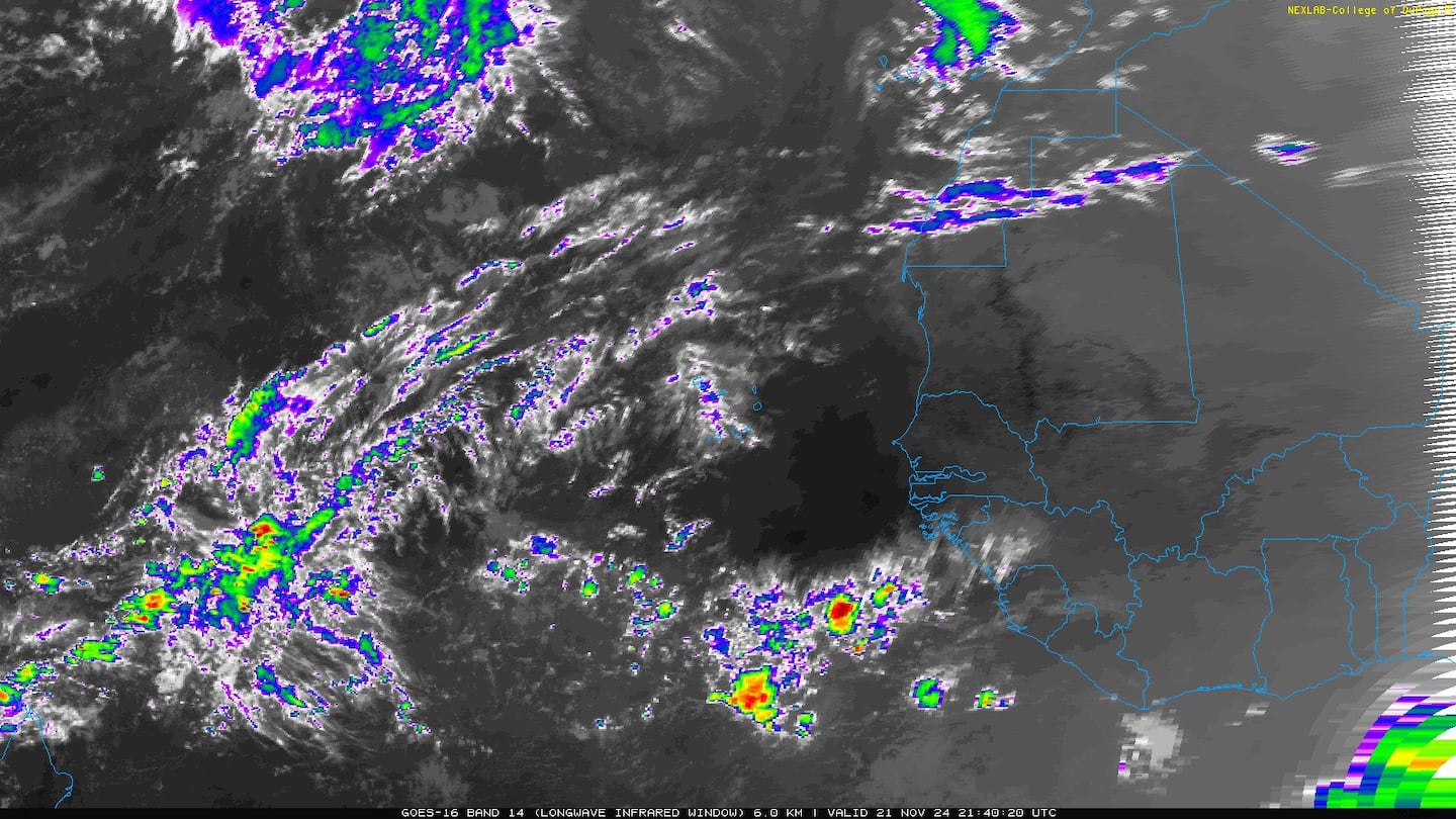
A strong & large wave that came of the coast of Africa has quickly become tropical depression #15. The system will turn rather sharply northward initially before bending back to the west once weaker & more shallow. #15 will not manage to get far west across the Atlantic.

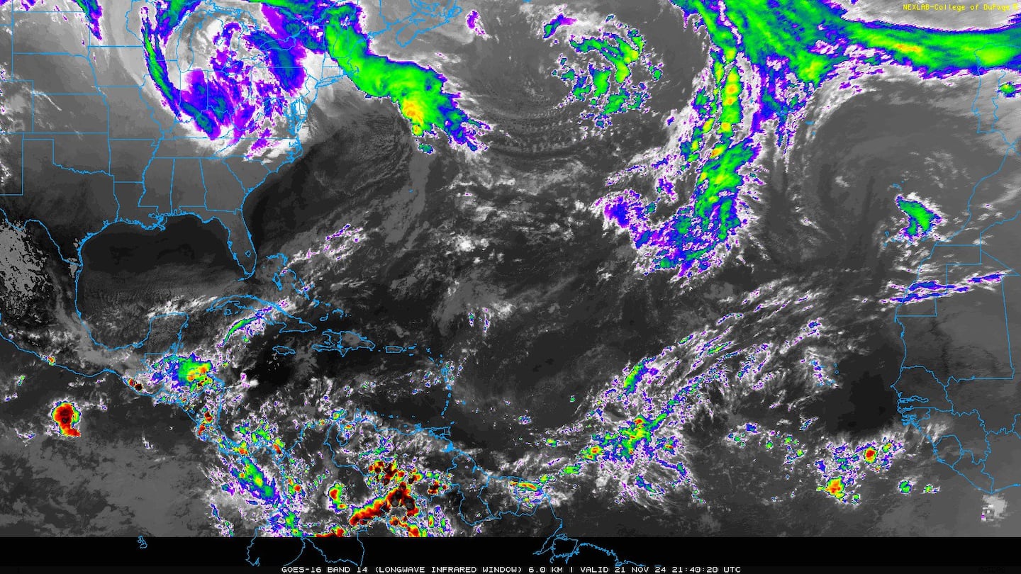
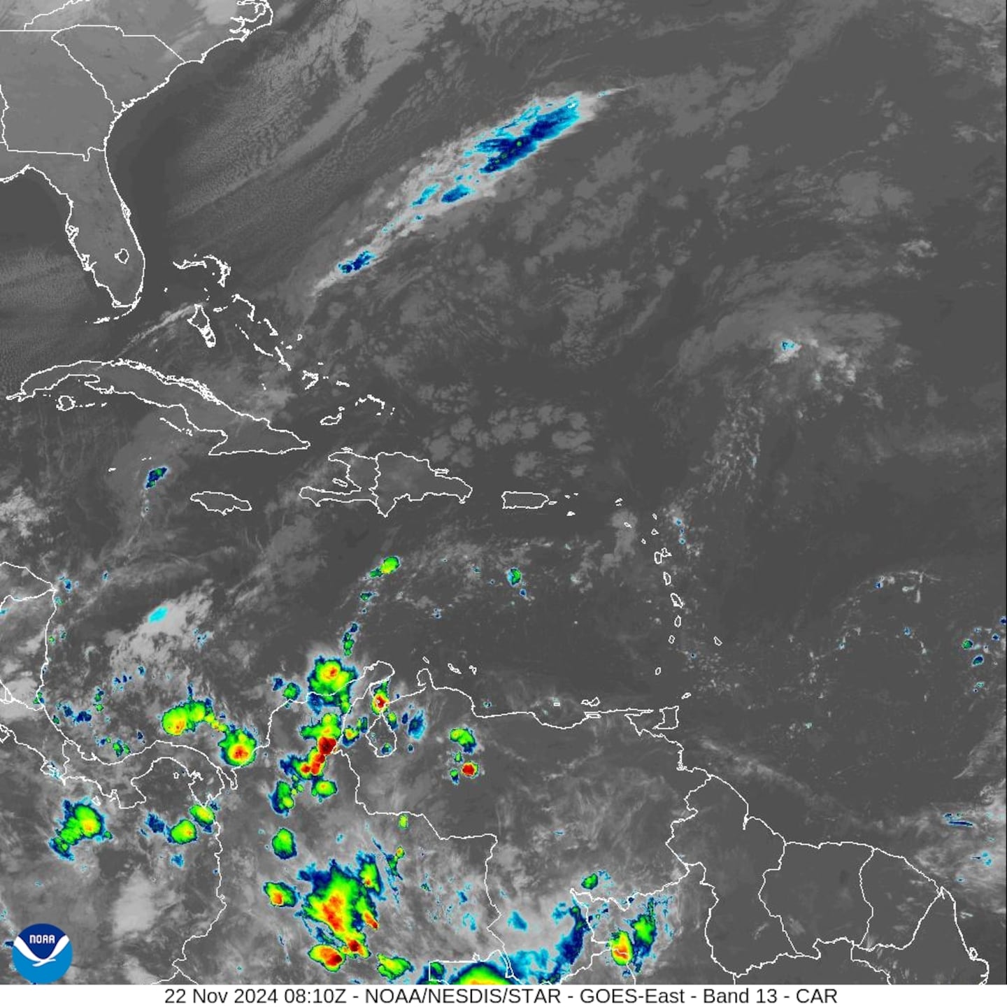
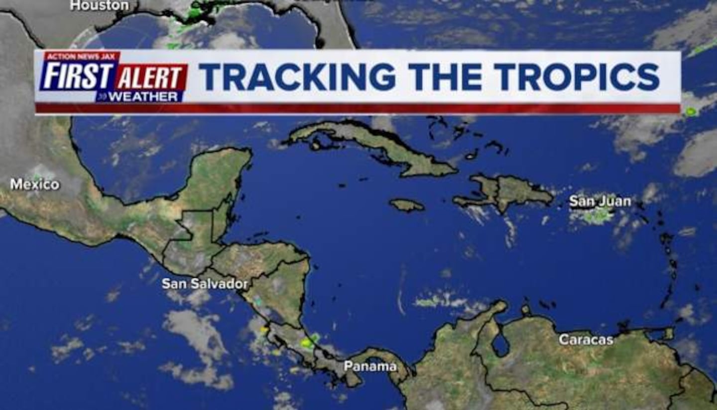
Generally unsettled conditions continue over the Caribbean & Central America. Low pressure is forming near Central America & will move into the SW & Western Gulf of Mexico later this week where some attempts at tropical development will be possible. Depending on how this low develops, there may be impacts on the Gulf Coast late week into the weekend though it's too early to define those impacts.

A pretty active tropical wave is about half way between S. America & Africa. Conditions look to become hostile once near the Caribbean.


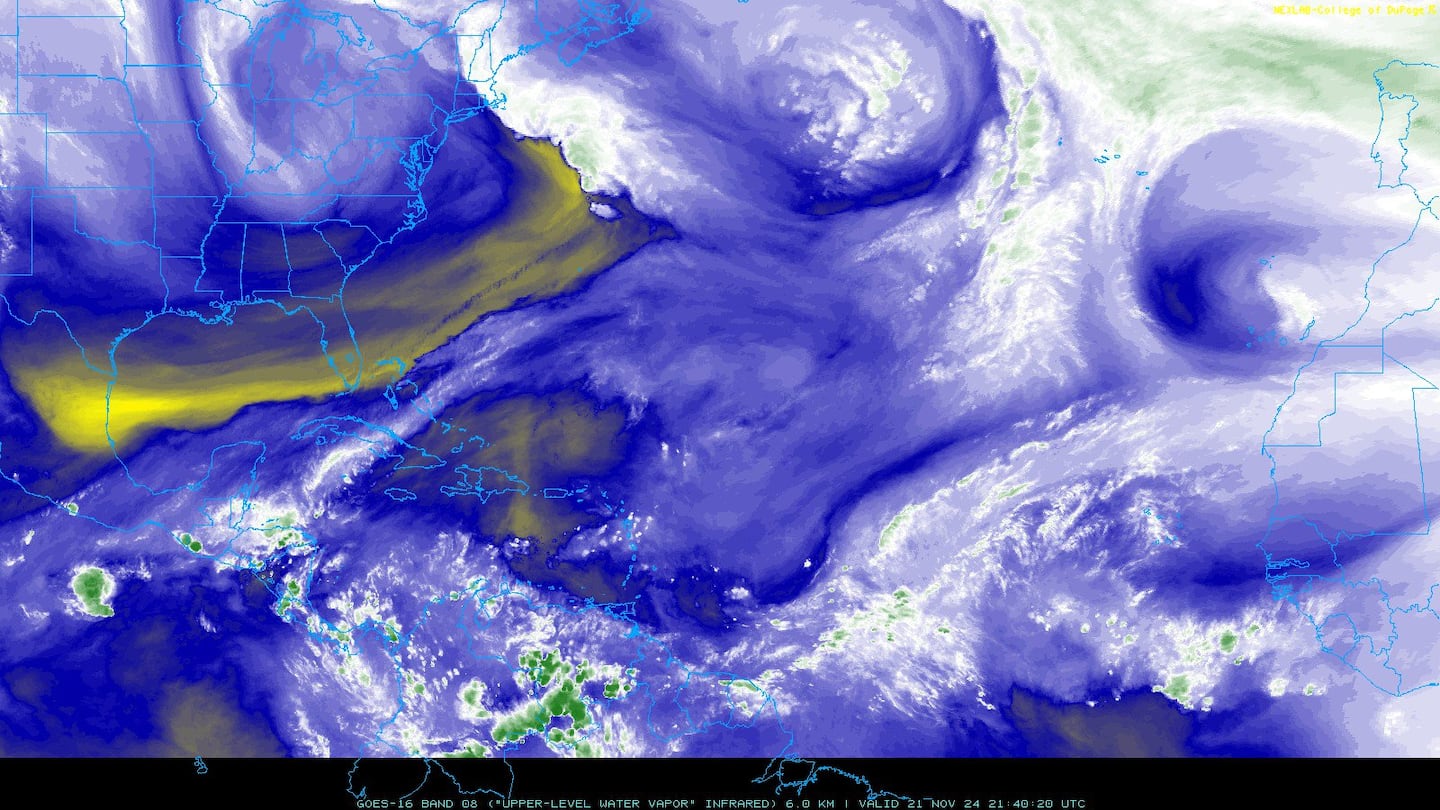
Atlantic dust (note the "doughnut" of Melissa in the midst of a large area of dry air/dust):

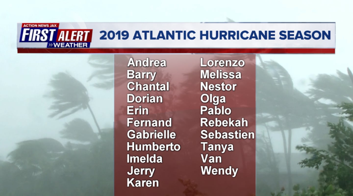
2019 names..... "Nestor" is next on the Atlantic list (names are picked at random... repeat every 6 years... historic storms are retired (Florence & Michael last year) & Dorian is almost certain to be next:
East Atlantic:


Mid & upper level wind shear (enemy of tropical cyclones) analysis (CIMMS). The red lines indicate strong shear of which there is plenty across the Atlantic at the moment:

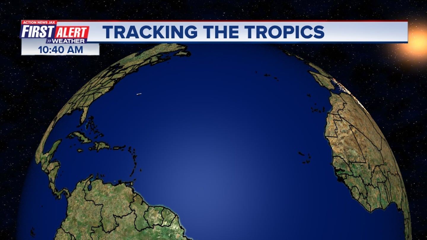
The Atlantic Basin:

Water vapor imagery (dark blue indicates dry air):
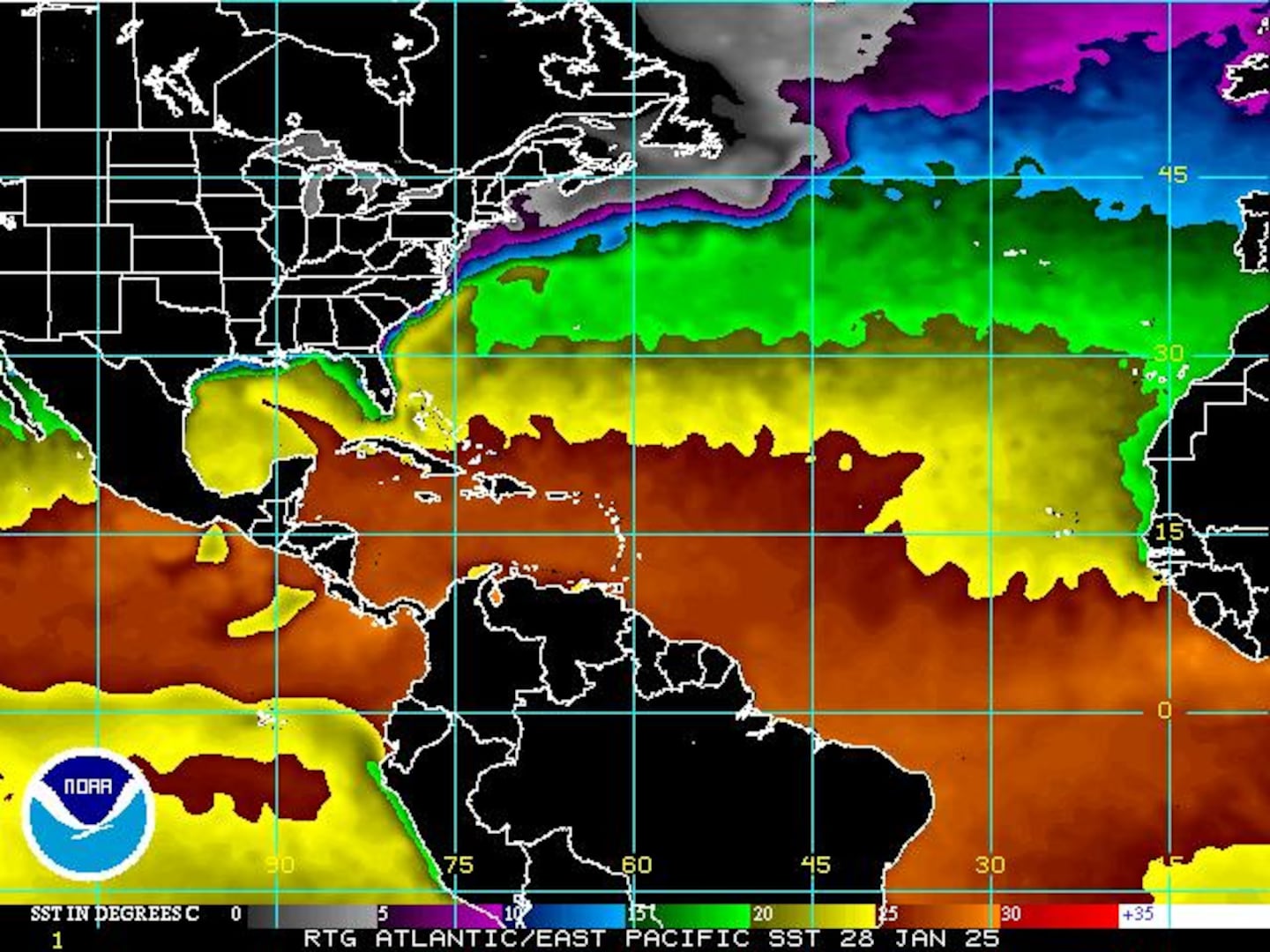
Deep oceanic heat content is extreme over the NW Caribbean:

Sea surface temp. anomalies show a warm Gulf of Mexico, Central & Northwest Atlantic while the "Main Development Region" (MDR) remain cooler than avg. A pocket of cool water temps. has expanded over the SW Atlantic including the Bahamas:

While parts of the Atlantic are cooler than avg., it's important to realize the water is still warm enough to support tropical systems....
SE U.S. surface map:

Surface analysis centered on the tropical Atlantic:
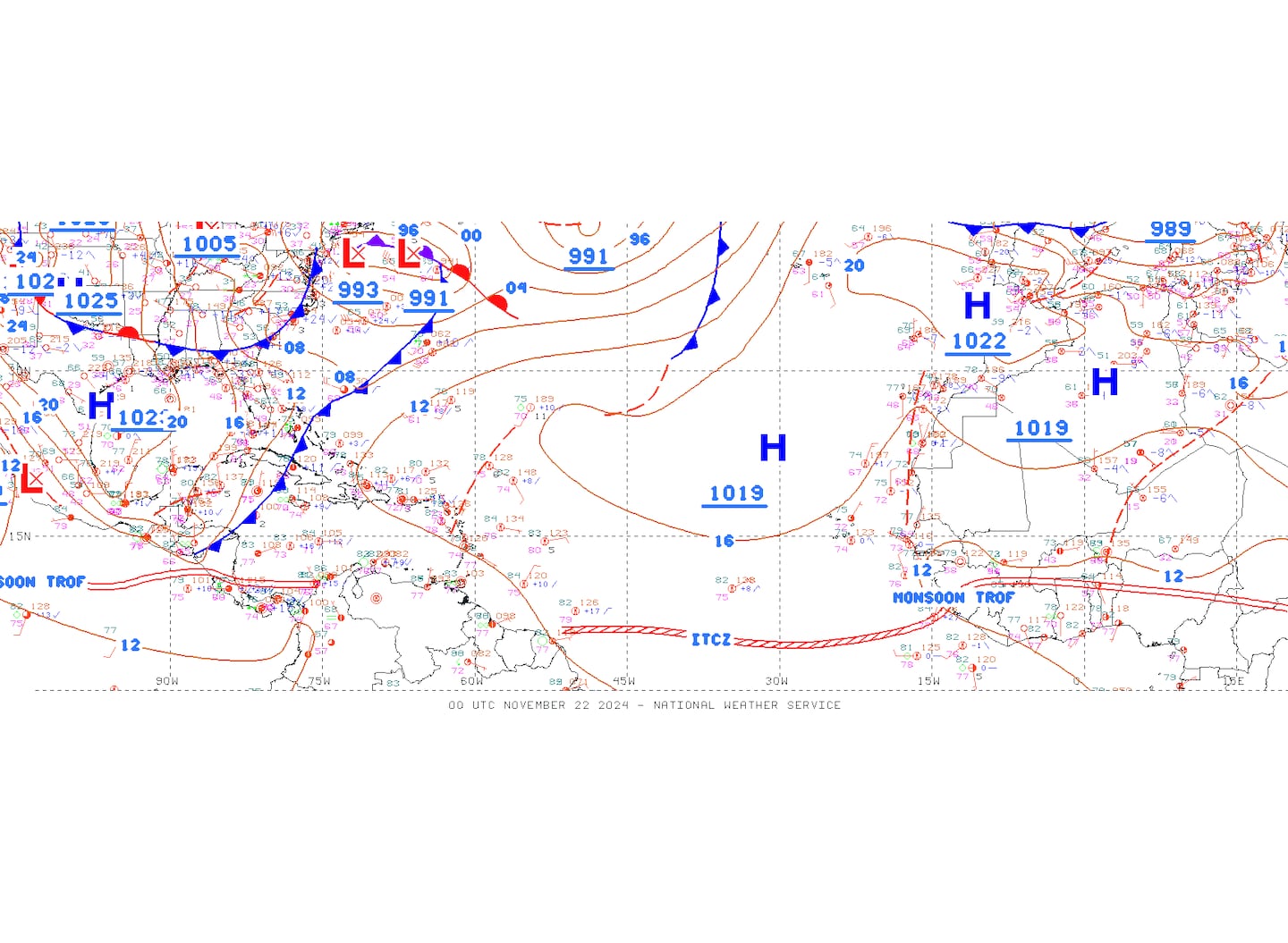
Surface analysis of the Gulf:

Caribbean:

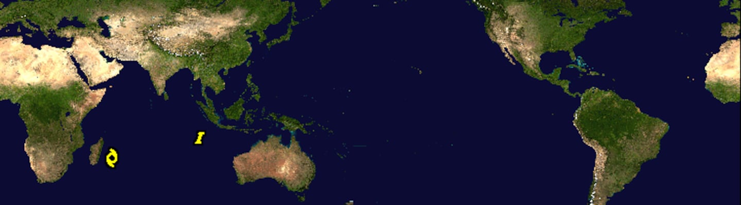
Global tropical activity:
Cox Media Group


