
Sept. 7, 2016 — Last official advisory on "Hermine" issued Tue. afternoon by the NHC.... wave over far E. Atlantic.....
WE'RE APPROACHING THE PEAK OF THE HURRICANE SEASON. You should always be prepared & aware. First Alert Hurricane Center ** here **. Reminder that flood insurance policies take 30 days to take effect..... & will not be written when/if a named storm is nearby.
The tropics have gone largely quiet as far as anything organized.
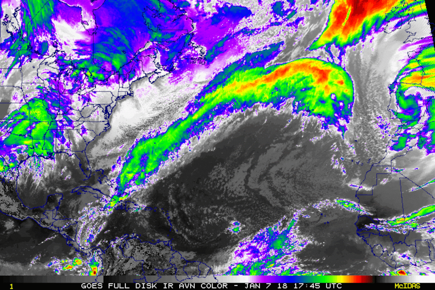
A tropical wave that came off the coast of Africa last weekend has moved into the Central Caribbean. Dry air & shear is hammering away at this wave & little development is expected though it remains something to watch this weekend as the wave approaches the Yucatan Peninsual & then possibly emerges over the Southwest Gulf. No impacts on Jacksonville.


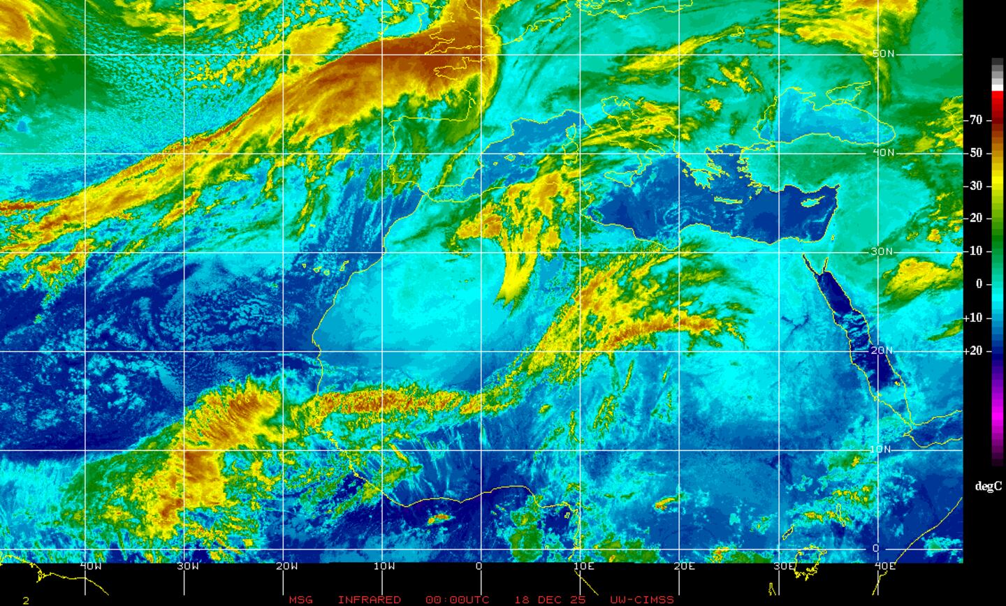
Water vapor imagery below shows the dry air over much of the Gulf of Mexico & Western Caribbean... as well as the Central Atlantic.

Wind shear (red lines represent strongest shear). Strong shear has been eroding convection associated with the tropical wave moving west through the Caribbean.

Gulf of Mexico:

East Atlantic:
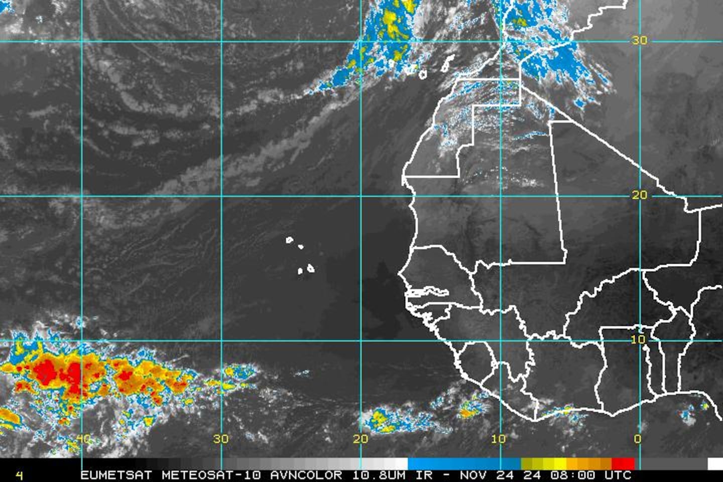
Satellite imagery centered on Africa & the far E. Atlantic shows tropical waves lined up across the E. Atlantic & Africa - pretty classic for this time of year. September is looking busy for the Atlantic Basin though not so much within the next week. Long range global forecast models have been inconsistent on development & movement - no surprise!
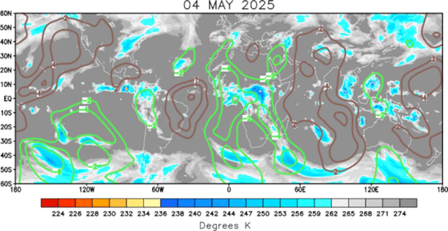
Part of the potential uptick in activity could be related to the MJO -- Madden-Julian Oscillation which shows a pulse (2nd image below) spreading from the E. Pacific into the Atlantic Basin. This general rising air often times favors tropical development..... especially when all other things (shear, moisture, etc) are equal -- not the case for the moment.
The early call on a strong wave over the Eastern Atlantic is for a recurve to the north. But other waves will continue to march west with the potential for development.
0
Lots of warm water to help "feed" tropical cyclones. Water temps. of 28 degrees Celsius equates to 82 degrees Fahrenheit. Tropical cyclones generally need at least 80 degree water to thrive.
1
Sea surface temps. vs. average:


Meanwhile.... over the E. Pacific.... "Newton" hit the Baja of California early Tue. followed by a 2nd landfall on the northwest coast of Mexico early Wed. The system will rapidly fall apart but the remnant low + tropical moisture will result in heavy rain & flooding for the Southwest U.S. - especially Southeast Arizona & New Mexico.


Cox Media Group


